Smith County

Log in to your account

AroundUs is a community-driven map of interesting places, built by curious explorers like you. It grows with every review, story, and photo you share.
Connect to save your favorite spots, contribute locations, and create personalized routes.
Continue with Google
Continue with Apple
Continue with X
Continue with Facebook
Continue with email
By continuing, you accept our Terms and Conditions and our Privacy Policy
Create an account
Add to collection
Map
Suggest a change
Share

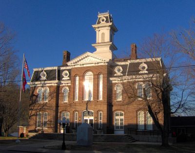
Smith County, Administrative county in Middle Tennessee, US

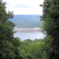
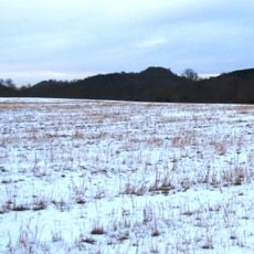
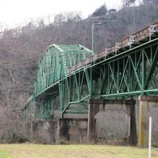
Smith County spans rolling hills at the base of the Cumberland Plateau with rivers and valleys. The Caney Fork and Cumberland River flow through the area, while three main towns—Carthage, South Carthage, and Gordonsville—serve the population, with Carthage functioning as the administrative center.

The area was established in 1799 and named after Daniel Smith, a Revolutionary War veteran who created Tennessee's first map and later served as a US Senator. This naming honors his important contribution to the state's early history.

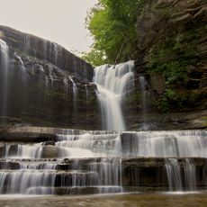
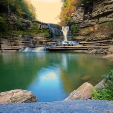
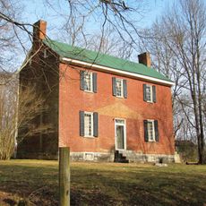
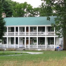
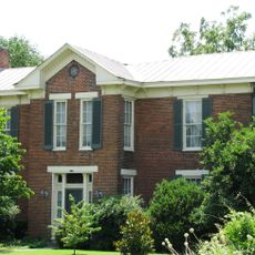
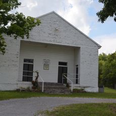
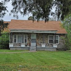
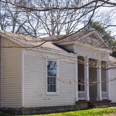
The area preserves rural traditions through farming and cattle raising, which shapes the everyday landscape. This connection to agricultural life shows in how the land is used and in the farms that characterize the valley.

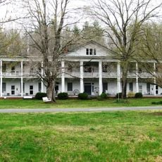
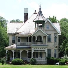
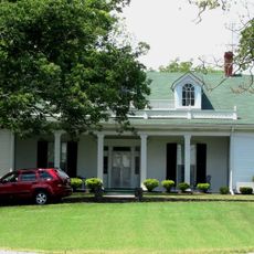
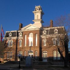
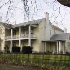
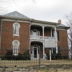
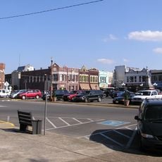
Carthage is the largest town and the administrative center with shops and services. The area is mostly rural, so it's good to plan things in advance or organize them in smaller towns before heading out.

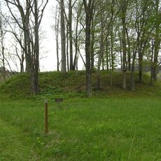
Piper Cave near Monoville shows traces of saltpeter mining from the 1800s. These underground operations supplied munitions factories during two major conflicts in American history.

Location: Tennessee

Inception: October 26, 1799

Capital city: Carthage

Shares border with: Macon County, Trousdale County, Wilson County, DeKalb County, Putnam County, Jackson County

GPS coordinates: 36.25000,-85.96000

Latest update: December 7, 2025 19:25

Photos
Around this place
Cummins Falls State Park
United States of America

Cummins Falls State Park

35.5 km
Cummins Falls
United States of America

Cummins Falls

35 km
Center Hill Lake
United States of America

Center Hill Lake

20.8 km
Edgar Evins State Park
United States of America

Edgar Evins State Park

22.6 km
Donoho Hotel
United States of America

Donoho Hotel

32.9 km
Mitchell House
United States of America

Mitchell House

31.6 km
Fort Blount
United States of America

Fort Blount

20.2 km
West End Church of Christ Silver Point
United States of America

West End Church of Christ Silver Point

29.1 km
I.W.P. Buchanan House
United States of America

I.W.P. Buchanan House

30.9 km
Davis-Hull House
United States of America

Davis-Hull House

1.3 km
Sellars Indian Mound
United States of America

Sellars Indian Mound

26.7 km
Dixona
United States of America

Dixona

15.4 km
Cullum Mansion
United States of America

Cullum Mansion

1.3 km
Cordell Hull Bridge
United States of America

Cordell Hull Bridge

499 m
Camp Bell
United States of America

Camp Bell

31.2 km
James Bradley House
United States of America

James Bradley House

12.8 km
Smith County Courthouse
United States of America

Smith County Courthouse

707 m
Fite-Williams-Ligon House
United States of America

Fite-Williams-Ligon House

742 m
Liberty Historic District
United States of America

Liberty Historic District

27.3 km
James R. DeBow House
United States of America

James R. DeBow House

20.8 km
William Washington Seay House
United States of America

William Washington Seay House

14.1 km
Fite-Fessenden House
United States of America

Fite-Fessenden House

30.4 km
Spring Creek Presbyterian Church
United States of America

Spring Creek Presbyterian Church

30.6 km
Harry Bailey House
United States of America

Harry Bailey House

28.1 km
Turney-Hutchins House
United States of America

Turney-Hutchins House

23.5 km
Macon County Fairgrounds
United States of America

Macon County Fairgrounds

30.9 km
Lafayette Theatre
United States of America

Lafayette Theatre

30.7 km
Lebanon Commercial Historic District
United States of America

Lebanon Commercial Historic District

30.1 km
Show the full map
Reviews

Visited this place? Tap the stars to rate it and share your experience / photos with the community! Try now! You can cancel it anytime.

Administrative divisions
« Smith County - Administrative county in Middle Tennessee, US » is provided by Around Us (aroundus.com). Images and texts are derived from Wikimedia project under a Creative Commons license. You are allowed to copy, distribute, and modify copies of this page, under the conditions set by the license, as long as this note is clearly visible.

Discover hidden gems everywhere you go!

From secret cafés to breathtaking viewpoints, skip the crowded tourist spots and find places that match your style. Our app makes it easy with voice search, smart filtering, route optimization, and insider tips from travelers worldwide. Download now for the complete mobile experience.

Around Us App Screenshot

A unique approach to discovering new places

Le Figaro

All the places worth exploring

France Info

A tailor-made excursion in just a few clicks

20 Minutes