Ashland County, Administrative division in northern Wisconsin, United States.
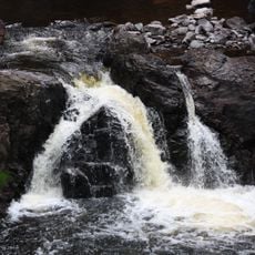
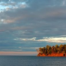
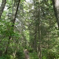
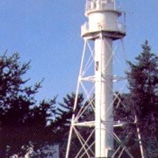
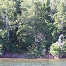
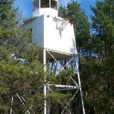
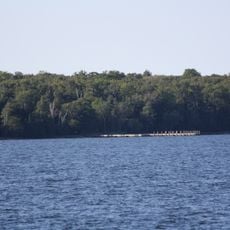
Ashland County is an administrative division in northern Wisconsin covering forested terrain dotted with the Chequamegon National Forest and many inland lakes. The landscape displays thick woodlands interrupted by water bodies that shape the character of the area.
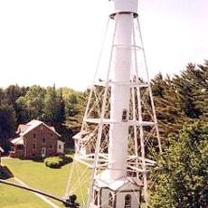
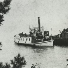
The county was established in 1860 and saw its fastest growth during the late 19th century logging boom when settlers opened up the wilderness. This expansion turned sparsely settled areas into established towns and villages.
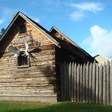
Ojibwe communities have shaped the region for generations and their presence remains visible in local gatherings and artistic traditions. The way residents celebrate and maintain these customs reflects how deeply rooted these connections are in daily life.
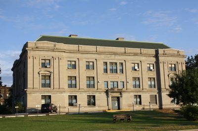
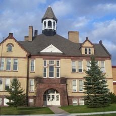
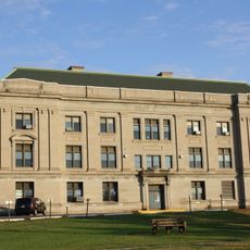
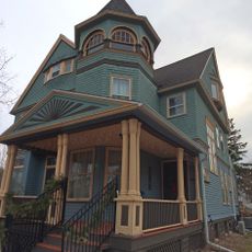
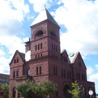
The city of Ashland serves as the regional hub and offers central services for the entire area. Visitors find shops, restaurants, and lodging there that serve as bases for exploring the surrounding landscape.
Winter transforms the region with extensive snowmobile trail networks that connect communities through the forest areas. This system allows visitors and locals to traverse the county in an entirely different way during cold months.
Location: Wisconsin
Inception: March 27, 1860
Capital city: Ashland
Shares border with: Iron County, Price County, Sawyer County, Bayfield County, Lake County, Cook County, Ontonagon County, Gogebic County
Website: http://co.ashland.wi.us
GPS coordinates: 46.71000,-90.56000
Latest update: December 7, 2025 19:25
Copper Falls State Park
37.7 km
Big Bay State Park
13.2 km
Apostle Islands Lighthouses
31.8 km
Michigan Island Light
18.6 km
Devils Island Light
43.1 km
Superior Falls
19.8 km
Gaylord Nelson Wilderness
29.5 km
Raspberry Island Light
34.5 km
Ashland Harbor Breakwater Light
25.4 km
Outer Island Light
42.2 km
La Pointe Light
17.3 km
Kakagon Sloughs
14.8 km
Madeline Island Historical Museum
19.1 km
Bass Island Brownstone Company Quarry
20.2 km
Chequamegon Point Light
19.1 km
Manitou Camp
28.7 km
Frank Boutin, Jr. House
22.6 km
Bayfield Fish Hatchery
24.7 km
Christ Episcopal Church
22.8 km
Ellis School
27.2 km
Bayfield County Courthouse
25.7 km
Hadland Fishing Camp
38 km
City of Ashland
20.4 km
Rocky Island Historic District
38.2 km
Security Savings Bank
28.2 km
Beaser School
29.3 km
Ashland County Courthouse
28.2 km
Chapple and MacArthur Avenues Residential Historic District
28.7 kmVisited this place? Tap the stars to rate it and share your experience / photos with the community! Try now! You can cancel it anytime.
Discover hidden gems everywhere you go!
From secret cafés to breathtaking viewpoints, skip the crowded tourist spots and find places that match your style. Our app makes it easy with voice search, smart filtering, route optimization, and insider tips from travelers worldwide. Download now for the complete mobile experience.
A unique approach to discovering new places❞
— Le Figaro
All the places worth exploring❞
— France Info
A tailor-made excursion in just a few clicks❞
— 20 Minutes