Enable Location

We need your location to show you interesting places around you

Discover nearby places

Find interesting locations and hidden gems around you

Precise directions

Get accurate directions and distances to places

Your location is never shared with other users. It's only used when you tap the location button.

Dyer County

Log in to your account

Start exploring — it's free

Trusted by 61,971 travelers worldwide

Continue with Google
Continue with Apple
or

We will send you a code to connect

By continuing, you accept our Terms and Conditions and our Privacy Policy

Check your inbox

We've sent a pincode in your inbox. Please enter the code below.

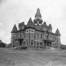
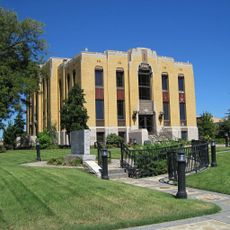
Dyer County, Administrative county in western Tennessee, United States

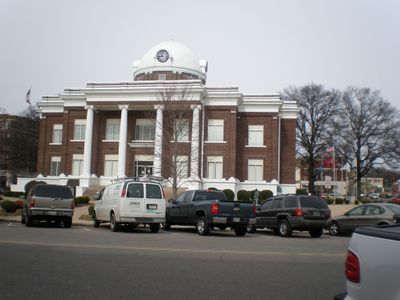
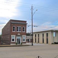
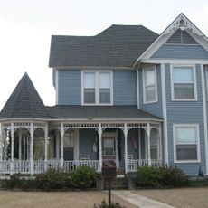
Dyer County spans the westernmost region of Tennessee and includes both urban and rural communities. Dyersburg serves as the county seat and the primary hub for regional administration and services.

The county was established in 1823 by Tennessee's legislature, replacing earlier Chickasaw lands in the area. This founding marked the beginning of organized settlement and governance in western Tennessee.

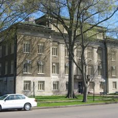
The county maintains multiple courts, including Circuit, Criminal, and Chancery divisions, reflecting Tennessee's structured legal and administrative system.

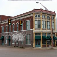
Visitors can find key administrative services and public facilities concentrated in Dyersburg, the county's central location. The city provides basic amenities and is easily accessible by local roads.

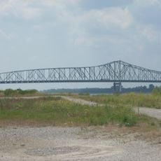
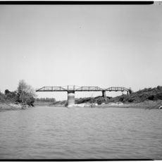
The Dyersburg Northern Railroad was chartered in 1904 and connected the county to Tiptonville through an important rail line. This railroad link proved vital for economic growth and freight movement across the region.

The community of curious travelers

AroundUs brings together thousands of curated places, local tips, and hidden gems, enriched daily by 60,000 contributors worldwide.

Start exploring
Location
Inception
1823
Capital city
Dyersburg
Shares border with
Lake County, Obion County, Gibson County, Crockett County, Lauderdale County, Mississippi County, Pemiscot County
GPS coordinates
36.06000,-89.41000
Latest update
December 7, 2025 20:25
Around this place
Reelfoot Lake
United States of America

Reelfoot Lake

34.9 km
West Tennessee
United States of America

West Tennessee

44.3 km
Reelfoot Lake State Park
United States of America

Reelfoot Lake State Park

37.2 km
Caruthersville Bridge
United States of America

Caruthersville Bridge

19.3 km
Alex Haley House and Museum
United States of America

Alex Haley House and Museum

45.6 km
Eaker Site
United States of America

Eaker Site

48.4 km
Murphy Mound Archeological Site
United States of America

Murphy Mound Archeological Site

27.6 km
Campbell Archeological Site
United States of America

Campbell Archeological Site

34.9 km
United States Highway 61 Arch
United States of America

United States Highway 61 Arch

44.5 km
Temple Adas Israel
United States of America

Temple Adas Israel

53.4 km
Edward Moody King House
United States of America

Edward Moody King House

3.4 km
Mississippi County Courthouse
United States of America

Mississippi County Courthouse

46.9 km
Zion Church
United States of America

Zion Church

53.4 km
Gibson County Courthouse
United States of America

Gibson County Courthouse

43.1 km
Caruthersville Water Tower
United States of America

Caruthersville Water Tower

26.9 km
Kress Building
United States of America

Kress Building

46 km
Lauderdale County Courthouse
United States of America

Lauderdale County Courthouse

36.6 km
Bank of Alamo
United States of America

Bank of Alamo

40.4 km
Julius Freed House
United States of America

Julius Freed House

43.4 km
Bank of Dyersburg
United States of America

Bank of Dyersburg

3.8 km
West Main Street Residential Historic District
United States of America

West Main Street Residential Historic District

47.7 km
United States of America

US Post Office

43.1 km
Caldwell-Hopson House
United States of America

Caldwell-Hopson House

35.8 km
Col. Robert Z. Taylor House
United States of America

Col. Robert Z. Taylor House

43.4 km
Reelfoot Lake State Park Visitor Center
United States of America

Reelfoot Lake State Park Visitor Center

33.8 km
Chris Tompkins House
United States of America

Chris Tompkins House

54.9 km
Trinity United Methodist Church
United States of America

Trinity United Methodist Church

41.3 km
Lenox Bridge
United States of America

Lenox Bridge

5.5 km
Show the full map
Administrative divisions
« Dyer County - Administrative county in western Tennessee, United States » is provided by Around Us (aroundus.com). Images and texts are derived from Wikimedia project under a Creative Commons license. You are allowed to copy, distribute, and modify copies of this page, under the conditions set by the license, as long as this note is clearly visible.

Discover hidden gems everywhere you go!

From secret cafés to breathtaking viewpoints, skip the crowded tourist spots and find places that match your style. Our app makes it easy with voice search, smart filtering, route optimization, and insider tips from travelers worldwide. Download now for the complete mobile experience.

Around Us App Screenshot

A unique approach to discovering new places

Le Figaro

All the places worth exploring

France Info

A tailor-made excursion in just a few clicks

20 Minutes

Around Us
Travel Guide & Maps
Download

Send to your phone

QR Code
1

Open the camera app on your mobile.

2

Point at the QR code with your camera. A notification will appear.

3

Tap the notification to open the link.