
Webster County, County in central West Virginia, United States
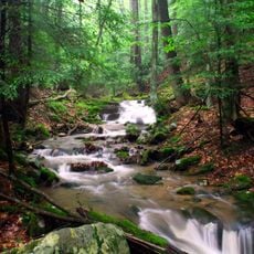
Webster County spans 556 square miles of land with forests, rivers, and hills in the Appalachian region of West Virginia.
The Virginia General Assembly established Webster County in 1860 by combining sections of Nicholas, Braxton, and Randolph counties.
The Webster County Woodchopping Festival brings together residents and visitors to celebrate the region's connection to forestry and timber industries.
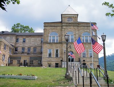
The county maintains three administrative districts - Central, Northern, and Southern - with Webster Springs serving as the county seat.
From 1864 through 2008, Webster County maintained consistent Democratic voting patterns in presidential elections, with only one exception in 1972.
Location: West Virginia
Inception: January 10, 1860
Capital city: Webster Springs
Shares border with: Lewis County, Greenbrier County, Upshur County, Randolph County, Pocahontas County, Nicholas County, Braxton County
Website: http://webstercounty.wv.gov
GPS coordinates: 38.49000,-80.43000
Latest update: March 4, 2025 22:38
Holly River State Park
21.6 km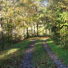
Greenbrier River Trail
41.8 km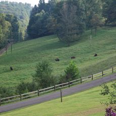
West Virginia State Wildlife Center
42 km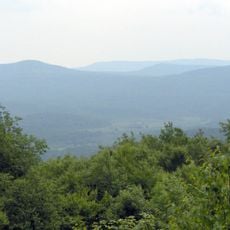
Cranberry Wilderness
25.2 km
Droop Mountain Battlefield State Park
44.5 km
Burnsville Lake
42.3 km
Pearl S. Buck Birthplace
43.5 km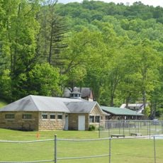
Camp Caesar
13.9 km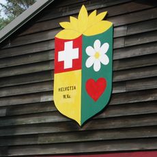
Helvetia Village Historic District
31 km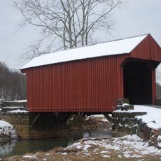
Walkersville Covered Bridge
41.1 km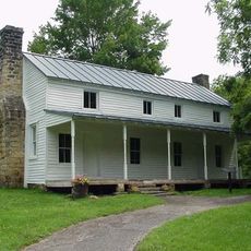
Cunningham House and Outbuildings
35.6 km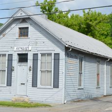
Pocahontas Times Print Shop
41.7 km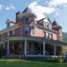
Morton House
2.4 km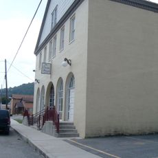
Pocahontas County Opera House
41.8 km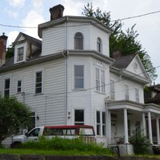
William Edgar Haymond House
31.1 km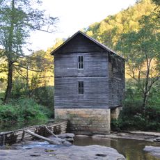
Mollohan Mill
21.7 km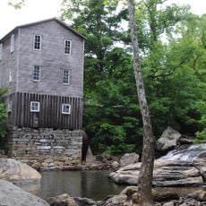
Fidler's Mill
38.5 km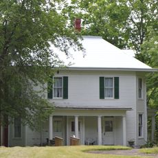
Frank and Anna Hunter House
41.5 km
Sutton Downtown Historic District
31 km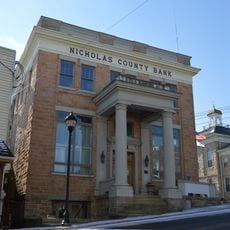
Nicholas County Bank
43.5 km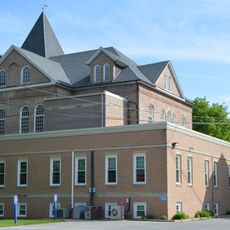
Pocahontas County Courthouse and Jail
42.5 km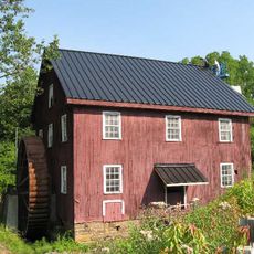
McNeel Mill
42.9 km
Pleasant Green Methodist Episcopal Church
44.1 km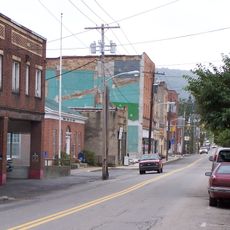
Downtown Richwood Historic District
30.9 km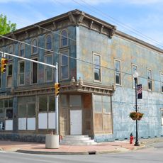
IOOF Lodge Building
41.7 km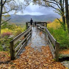
Droop Mountain Battlefield State Park
44.3 km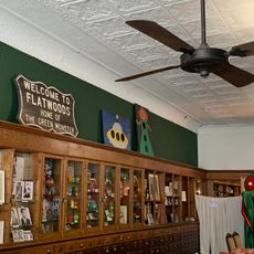
Flatwoods Monster Museum
31.1 km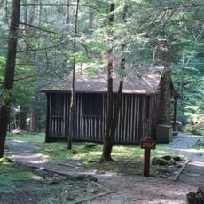
New Deal Resources in Holly River State Park Historic District
20.5 kmReviews
Visited this place? Tap the stars to rate it and share your experience / photos with the community! Try now! You can cancel it anytime.
Discover hidden gems everywhere you go!
From secret cafés to breathtaking viewpoints, skip the crowded tourist spots and find places that match your style. Our app makes it easy with voice search, smart filtering, route optimization, and insider tips from travelers worldwide. Download now for the complete mobile experience.

A unique approach to discovering new places❞
— Le Figaro
All the places worth exploring❞
— France Info
A tailor-made excursion in just a few clicks❞
— 20 Minutes