Greenbrier River Trail, Rail trail in Allegheny Highlands, West Virginia, United States.
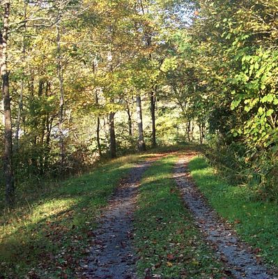
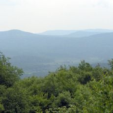
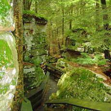
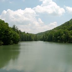
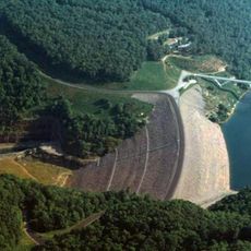
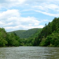
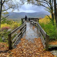
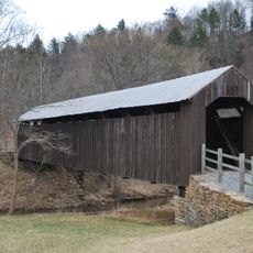
The Greenbrier River Trail is a 78-mile path through forests and small towns featuring 35 bridges and two tunnels along one of eastern America's longest undammed rivers. Its limestone surface allows for hiking, biking, and horseback riding throughout the entire route.
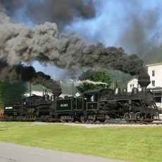
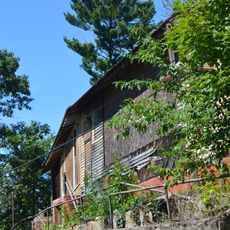
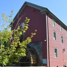
The path follows the former Chesapeake & Ohio Railway corridor, which transported coal, lumber, and hides until it was transformed into a recreational route in the 1970s. This conversion preserved the region's transport history while making it accessible for new purposes.
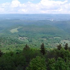
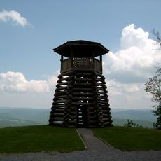
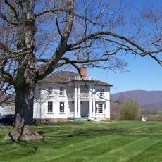
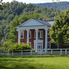
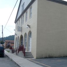
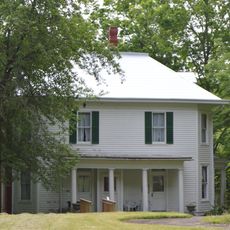
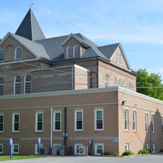
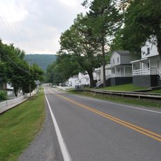
The path connects several communities where visitors can experience how local traditions are expressed through seasonal events and outdoor pursuits throughout the year. This way of life reflects the region's strong connection to its natural surroundings.
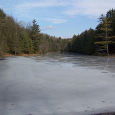
The route provides camping facilities, water sources, and rest areas distributed throughout the length. Bringing a map and wearing proper footwear is helpful, as surface conditions can vary depending on weather and recent maintenance.
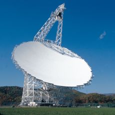
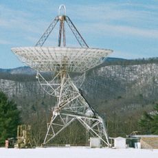
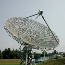
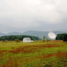
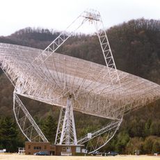
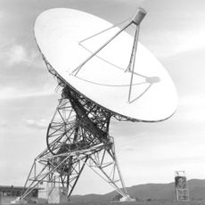
The path passes through a National Radio Quiet Zone where cell phone signals remain limited to protect nearby radio telescopes. This unusual feature creates a retreat from constant connectivity that many visitors find surprising.
The community of curious travelers
AroundUs brings together thousands of curated places, local tips, and hidden gems, enriched daily by 60,000 contributors worldwide.