
Parmer County, County in Texas Panhandle, United States.
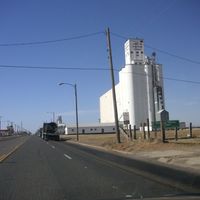
Parmer County spans 885 square miles of High Plains terrain at an elevation of 4,100 feet with agricultural lands and wide open spaces.
The county emerged from the XIT Ranch lands in 1876, receiving its name from Martin Parmer, who signed the Texas Declaration of Independence.
The communities of Friona, Farwell, Bovina, and Lazbuddie maintain strong educational systems with multiple independent school districts serving local families.
The county maintains a network of highways including U.S. 60, 70, and 84, connecting residents to neighboring regions and facilitating agricultural transportation.
The region experiences 250 days of annual sunshine and maintains a diversified economy with wind energy, meat packing, dairy production, and rail transport sectors.
Location: Texas
Inception: 1876
Capital city: Farwell
Shares border with: Deaf Smith County, Castro County, Lamb County, Bailey County, Curry County
Website: http://co.parmer.tx.us
GPS coordinates: 34.53000,-102.78000
Latest update: March 6, 2025 13:42
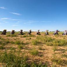
Cadillac Ranch
102.9 km
National Helium Reserve
105.3 km
Blue Swallow Motel
111.5 km
Don Harrington Discovery Center
108.8 km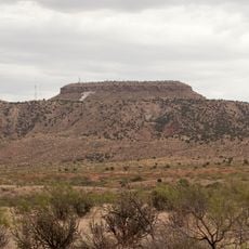
Tucumcari Mountain
107.6 km
Buffalo Lake National Wildlife Refuge
72.3 km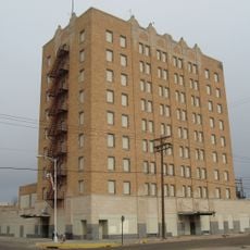
Hotel Clovis
41.6 km
Blackwater Draw archaeological site
57.3 km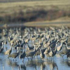
Muleshoe National Wildlife Refuge
64.2 km
Grulla National Wildlife Refuge
55.1 km
Panhandle–Plains Historical Museum
93.5 km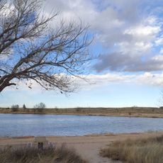
Oasis State Park
60.4 km
Cactus Motor Lodge
111 km
State Theater
41.5 km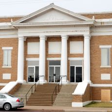
First Methodist Church of Clovis
38 km
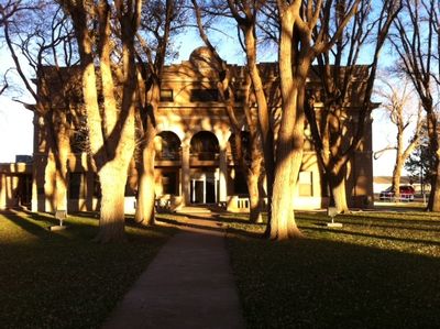
Roosevelt County Courthouse
63.9 km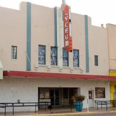
Lyceum Theatre
41.5 km
1908 Clovis City Hall and Fire Station
41.2 km
Curry County Courthouse
41.4 km
Bank of Portales
63.9 km
Clovis Central Fire Station
41.7 km
Administration Building
65.2 km
Deaf Smith County Historical Museum
47.4 km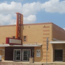
Carlile Theater
42.9 km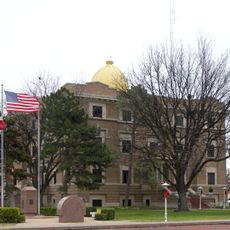
Hale County Courthouse
106.2 km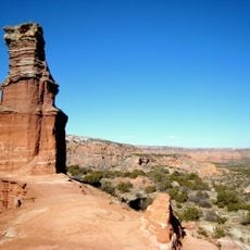
Lighthouse Peak
108.9 km
Randall County Courthouse
92.6 km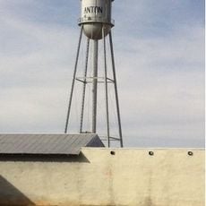
Anton Tin Man Water Tower
98.1 kmReviews
Visited this place? Tap the stars to rate it and share your experience / photos with the community! Try now! You can cancel it anytime.
Discover hidden gems everywhere you go!
From secret cafés to breathtaking viewpoints, skip the crowded tourist spots and find places that match your style. Our app makes it easy with voice search, smart filtering, route optimization, and insider tips from travelers worldwide. Download now for the complete mobile experience.

A unique approach to discovering new places❞
— Le Figaro
All the places worth exploring❞
— France Info
A tailor-made excursion in just a few clicks❞
— 20 Minutes