Parmer County, County in Texas Panhandle, United States.
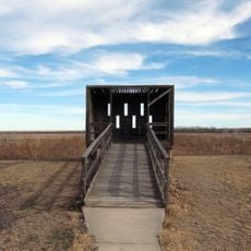
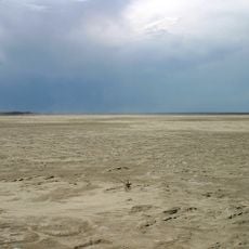
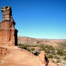
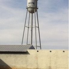
Parmer County is an administrative division in the Texas Panhandle region with flat High Plains terrain and agricultural lands. The area covers roughly 2,290 square kilometers (885 square miles) at an elevation of about 1,250 meters (4,100 feet) and is crossed by major roads connecting four main towns: Friona, Farwell, Bovina, and Lazbuddie.
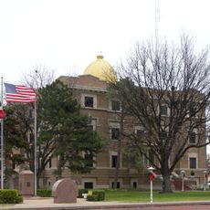
The county was formed in 1876 from lands that were part of the sprawling XIT Ranch, which once dominated the plains of this region. Its name honors Martin Parmer, who signed the Texas Declaration of Independence in 1836.
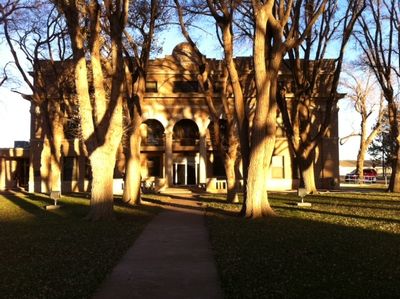
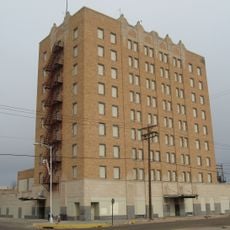
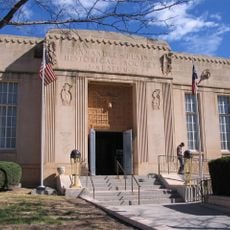
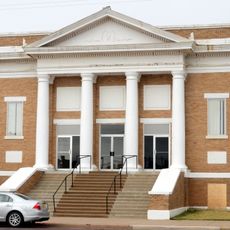
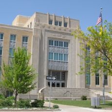
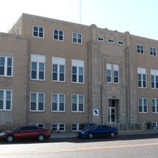
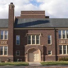
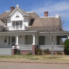
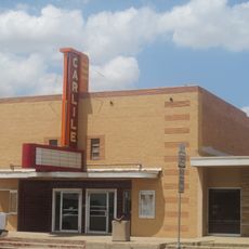
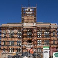
The towns here shape their identity through strong schools and family centers that anchor social life. These institutions form the core around which local communities gather and build connections.
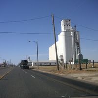
The county is easily reached via U.S. Routes 60, 70, and 84, which connect to neighboring regions. These main highways serve as good orientation points for navigating across the flat landscape.
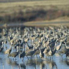
The region receives direct sunshine on approximately 250 days per year, shaping conditions for agriculture and increasingly for wind energy development. This frequency of clear skies makes the area particularly suited to diverse economic activities.
The community of curious travelers
AroundUs brings together thousands of curated places, local tips, and hidden gems, enriched daily by 60,000 contributors worldwide.