Enable Location

We need your location to show you interesting places around you

Discover nearby places

Find interesting locations and hidden gems around you

Precise directions

Get accurate directions and distances to places

Your location is never shared with other users. It's only used when you tap the location button.

Major County

Log in to your account

Start exploring — it's free

Trusted by 62,831 travelers worldwide

Continue with Google
Continue with Apple
or

We will send you a code to connect

By continuing, you accept our Terms and Conditions and our Privacy Policy

Check your inbox

We've sent a pincode in your inbox. Please enter the code below.

Major County, County in northwestern Oklahoma, United States.

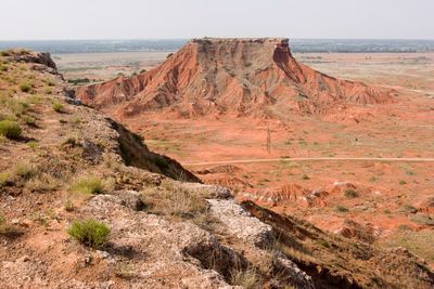
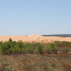
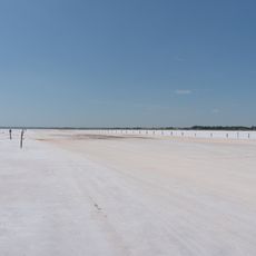
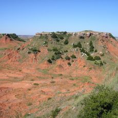
Major County is an administrative region in northwestern Oklahoma characterized by flat terrain and agricultural land. The area spans across the Great Plains with scattered rural communities and open vistas throughout.

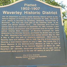
The region was established on July 16, 1907, and named after John Charles Major, a delegate to Oklahoma's 1906 Constitutional Convention. This founding marked the beginning of organized settlement and governance in the area.

Mennonite settlers from Kansas shaped the region's identity and way of life. The town of Meno takes its name from Menno Simons, a key figure in their religious tradition.

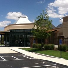
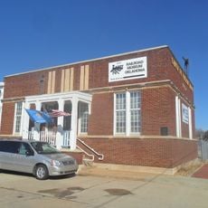
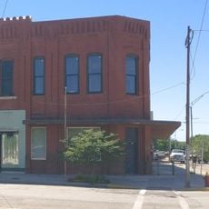
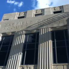
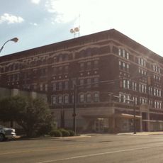
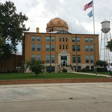
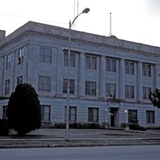
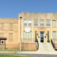
Fairview serves as the administrative center where you can find county services and local resources. Highways 60, 281, and 412 provide good road connections to neighboring areas across Oklahoma.

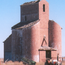
The Ames Structure and Ringwood oil field are major economic drivers in the area. Oil and gas extraction operations have shaped development here for many decades.

The community of curious travelers

AroundUs brings together thousands of curated places, local tips, and hidden gems, enriched daily by 60,000 contributors worldwide.

Start exploring
Location
Inception
July 16, 1907
Capital city
Fairview
Shares border with
Woods County, Alfalfa County, Garfield County, Kingfisher County, Blaine County, Dewey County, Woodward County
GPS coordinates
36.31000,-98.54000
Latest update
December 8, 2025 13:44
Around this place
Little Sahara State Park
United States of America

Little Sahara State Park

39.4 km
Great Salt Plains Lake
United States of America

Great Salt Plains Lake

57.5 km
Roman Nose State Park
United States of America

Roman Nose State Park

42.9 km
Alabaster Caverns State Park
United States of America

Alabaster Caverns State Park

69.4 km
Salt Plains National Wildlife Refuge
United States of America

Salt Plains National Wildlife Refuge

56.6 km
Gloss Mountain State Park
United States of America

Gloss Mountain State Park

7.2 km
Boiling Springs State Park
United States of America

Boiling Springs State Park

69.9 km
H. H. Champlin House
United States of America

H. H. Champlin House

58.7 km
United States of America

Sod House

20.8 km
Gaslight Theatre
United States of America

Gaslight Theatre

60 km
Cherokee Strip Regional Heritage Center
United States of America

Cherokee Strip Regional Heritage Center

60.5 km
Railroad Museum of Oklahoma
United States of America

Railroad Museum of Oklahoma

59.9 km
Midgley Museum
United States of America

Midgley Museum

58.9 km
Ingersoll Tile Elevator
United States of America

Ingersoll Tile Elevator

55.9 km
Waverley Historic District
United States of America

Waverley Historic District

58.6 km
Central National Bank
United States of America

Central National Bank

56.2 km
Garfield County Courthouse
United States of America

Garfield County Courthouse

60.1 km
Enid Armory
United States of America

Enid Armory

60.9 km
Jackson School
United States of America

Jackson School

64.4 km
Lamerton House
United States of America

Lamerton House

58.5 km
Clay Hall
United States of America

Clay Hall

62.8 km
Cherokee Friends Church
United States of America

Cherokee Friends Church

52.5 km
United States Post Office Watonga
United States of America

United States Post Office Watonga

53 km
Enid Masonic Temple
United States of America

Enid Masonic Temple

59.8 km
Blaine County Courthouse
United States of America

Blaine County Courthouse

52.9 km
Public Library of Enid and Garfield County
United States of America

Public Library of Enid and Garfield County

60 km
Alfalfa County Courthouse
United States of America

Alfalfa County Courthouse

52.2 km
Cherokee Strip Museum of Alva
United States of America

Cherokee Strip Museum of Alva

55.9 km
Show the full map
Administrative divisions
« Major County - County in northwestern Oklahoma, United States » is provided by Around Us (aroundus.com). Images and texts are derived from Wikimedia project under a Creative Commons license. You are allowed to copy, distribute, and modify copies of this page, under the conditions set by the license, as long as this note is clearly visible.

Discover hidden gems everywhere you go!

From secret cafés to breathtaking viewpoints, skip the crowded tourist spots and find places that match your style. Our app makes it easy with voice search, smart filtering, route optimization, and insider tips from travelers worldwide. Download now for the complete mobile experience.

Around Us App Screenshot

A unique approach to discovering new places

Le Figaro

All the places worth exploring

France Info

A tailor-made excursion in just a few clicks

20 Minutes

Around Us
Travel Guide & Maps
Download

Send to your phone

QR Code
1

Open the camera app on your mobile.

2

Point at the QR code with your camera. A notification will appear.

3

Tap the notification to open the link.