Enable Location

We need your location to show you interesting places around you

Discover nearby places

Find interesting locations and hidden gems around you

Precise directions

Get accurate directions and distances to places

Your location is never shared with other users. It's only used when you tap the location button.

Merrimack River

Log in to your account

Start exploring — it's free

Trusted by 68,285 travelers worldwide

Continue with Google
Continue with Apple
or

We will send you a code to connect

By continuing, you accept our Terms and Conditions and our Privacy Policy

Check your inbox

We've sent a pincode in your inbox. Please enter the code below.

Merrimack River
Discussion Reviews 7 Photos
46.5k Popularity

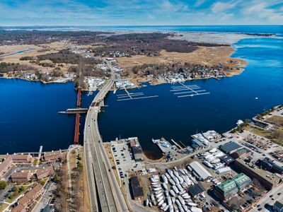
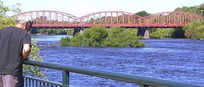
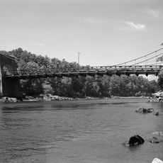
Merrimack River, River system in New Hampshire and Massachusetts, United States

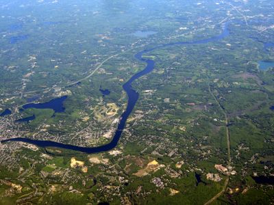
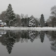
The Merrimack River is a waterway that flows through New Hampshire and Massachusetts, winding through forests and past rocky areas on its course. The river passes through several towns and communities before reaching the Atlantic Ocean at its mouth.

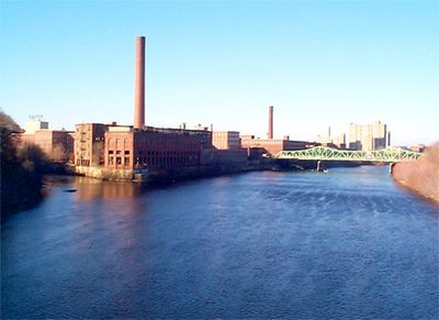
The river served as a trade route and home for indigenous peoples long before European settlement. In the 1800s it became central to industrial growth, with water power driving factories and mills throughout the region.

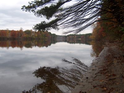
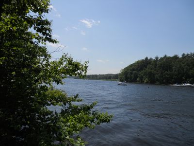
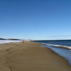
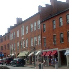
Today people fish, kayak, and walk along the banks to watch local wildlife and birds in their natural habitats. The river continues to shape daily life in surrounding towns and serves as a gathering place for communities.

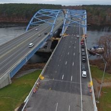
The river is accessible from several roads and parks that offer access to the banks and shorelines. Visitors should expect water conditions to vary by season and take precautions, especially during spring flooding.

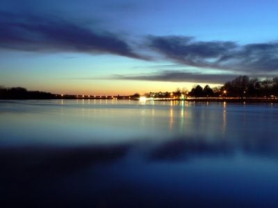
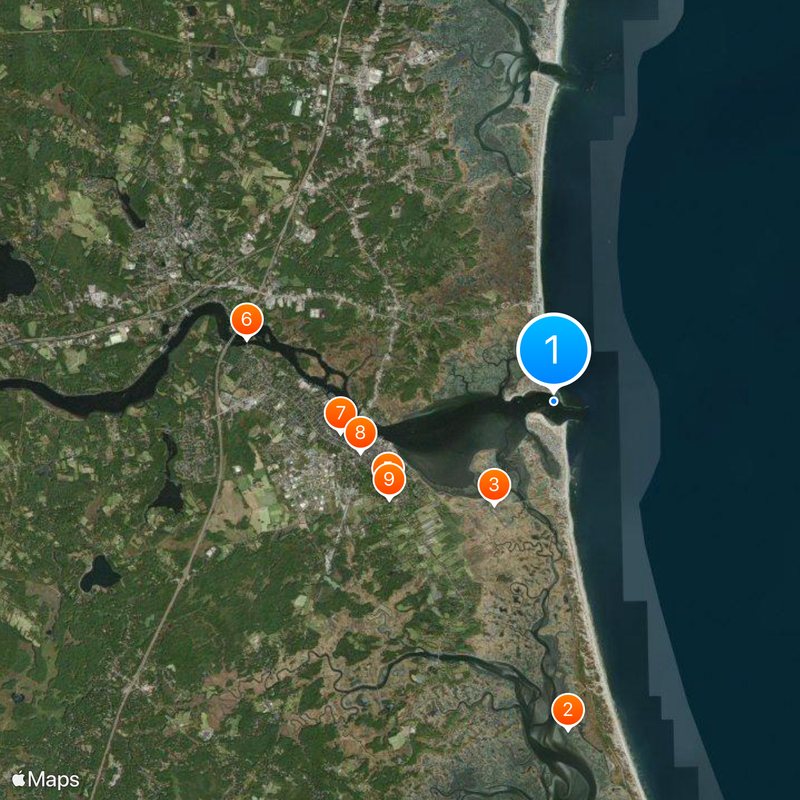
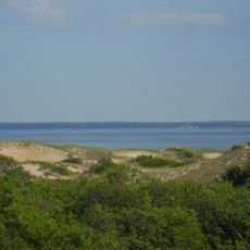
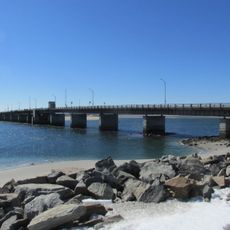
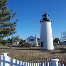
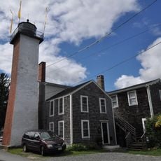
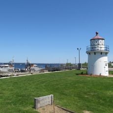
At the mouth near Newburyport, tidal flows create a mixing zone where fresh river water meets salt water, attracting migratory birds seeking food during their journeys. This transition habitat supports a variety of bird species found nowhere else in the area.

The community of curious travelers

AroundUs brings together thousands of curated places, local tips, and hidden gems, enriched daily by 60,000 contributors worldwide.

Start exploring
Location
Location
Location
Location
Location
GPS coordinates
42.81954,-70.81200
Latest update
December 14, 2025 19:50
Around this place
Parker River National Wildlife Refuge
United States of America

Parker River National Wildlife Refuge

8.3 km
Pink House
United States of America

Pink House

3 km
Salisbury Beach State Reservation
United States of America

Salisbury Beach State Reservation

892 m
Coffin House
United States of America

Coffin House

4.7 km
Chain Bridge
United States of America

Chain Bridge

7.9 km
United States of America

Newburyport Public Library

5.4 km
Dalton House
United States of America

Dalton House

5 km
James Noyes House
United States of America

James Noyes House

4.8 km
Hampton Bridge
United States of America

Hampton Bridge

8.5 km
Spencer-Peirce-Little Farm
United States of America

Spencer-Peirce-Little Farm

4.3 km
Cushing House Museum and Garden
United States of America

Cushing House Museum and Garden

5 km
Superior Courthouse and Bartlett Mall
United States of America

Superior Courthouse and Bartlett Mall

5.5 km
United States Customhouse
United States of America

United States Customhouse

4.7 km
Dole-Little House
United States of America

Dole-Little House

6.8 km
Newburyport Harbor Light
United States of America

Newburyport Harbor Light

760 m
Rocky Hill Meeting House
United States of America

Rocky Hill Meeting House

8.8 km
Newburyport Harbor Rear Range Light
United States of America

Newburyport Harbor Rear Range Light

4.5 km
Market Square Historic District
United States of America

Market Square Historic District

4.9 km
Newburyport Harbor Front Range Light
United States of America

Newburyport Harbor Front Range Light

4.4 km
Newburyport Historic District
United States of America

Newburyport Historic District

5.4 km
Swett-Ilsley House
United States of America

Swett-Ilsley House

4.7 km
Brown Square House
United States of America

Brown Square House

5.2 km
Newbury Historic District
United States of America

Newbury Historic District

4.8 km
Dodge Building
United States of America

Dodge Building

5.7 km
Benjamin Coker House
United States of America

Benjamin Coker House

5.5 km
Plum Island Beach
United States of America

Plum Island Beach

501 m
John Greenleaf Whittier Bridge
United States of America

John Greenleaf Whittier Bridge

8.3 km
Custom House Maritime Museum
United States of America

Custom House Maritime Museum

4.7 km
Show the full map
Reviews
Share your experience

No review yet

Discussions
Start a discussion...

No discussion yet

« Merrimack River - River system in New Hampshire and Massachusetts, United States » is provided by Around Us (aroundus.com). Images and texts are derived from Wikimedia project under a Creative Commons license. You are allowed to copy, distribute, and modify copies of this page, under the conditions set by the license, as long as this note is clearly visible.

Discover hidden gems everywhere you go!

From secret cafés to breathtaking viewpoints, skip the crowded tourist spots and find places that match your style. Our app makes it easy with voice search, smart filtering, route optimization, and insider tips from travelers worldwide. Download now for the complete mobile experience.

Around Us App Screenshot

A unique approach to discovering new places

Le Figaro

All the places worth exploring

France Info

A tailor-made excursion in just a few clicks

20 Minutes

Around Us
Travel Guide & Maps
Download

Send to your phone

QR Code
1

Open the camera app on your mobile.

2

Point at the QR code with your camera. A notification will appear.

3

Tap the notification to open the link.