Caledonia, village in Washington County, Missouri, United States of America
Location: Washington County
Elevation above the sea: 279 m
GPS coordinates: 37.76333,-90.77222
Latest update: March 18, 2025 16:58
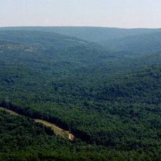
Taum Sauk Mountain
21.8 km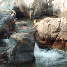
Johnson's Shut-Ins State Park
25.4 km
Elephant Rocks State Park
14.2 km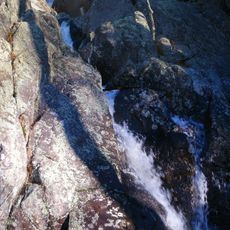
Taum Sauk Mountain State Park
21.8 km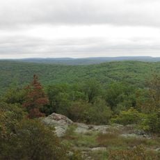
Bell Mountain Wilderness
17.3 km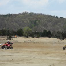
St. Joe State Park
23.2 km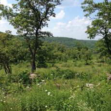
Washington State Park
36.6 km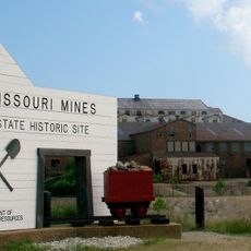
Missouri Mines State Historic Site
24.6 km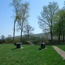
Fort Davidson
18.9 km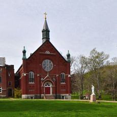
Arcadia College
23.7 km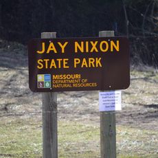
Jay Nixon State Park
19.2 km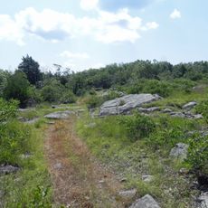
Buford Mountain Conservation Area
8.2 km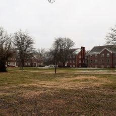
Presbyterian Orphanage of Missouri
30.4 km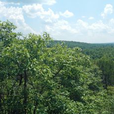
Bootleg Access
5.9 km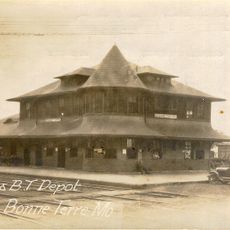
Bonne Terre Depot
26.2 km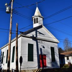
Immanuel Evangelical Lutheran Church
19.1 km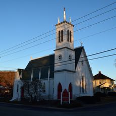
St. Paul's Episcopal Church
22.3 km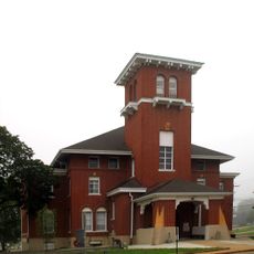
Washington County Courthouse
19.3 km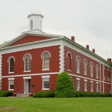
Iron County Courthouse
22.4 km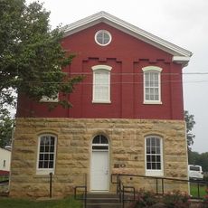
St. Francois County Jail and Sheriff's Residence
30.8 km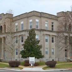
Courthouse Square Historic District
31.1 km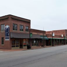
East Columbia Historic District
31.1 km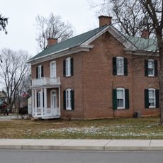
James Robinson McCormick House
30.5 km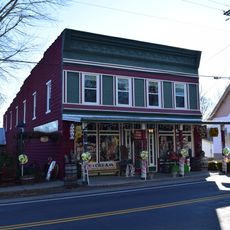
Caledonia Historic District
49 m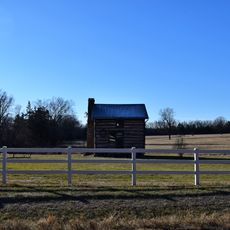
Harrison Queen House
3 km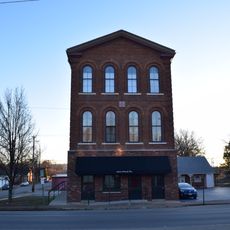
Ironton Lodge Hall
22.1 km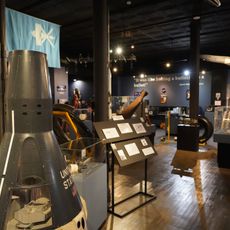
Space Museum
26.2 km
Washington State Park CCC Historic District
36.6 kmVisited this place? Tap the stars to rate it and share your experience / photos with the community! Try now! You can cancel it anytime.
Discover hidden gems everywhere you go!
From secret cafés to breathtaking viewpoints, skip the crowded tourist spots and find places that match your style. Our app makes it easy with voice search, smart filtering, route optimization, and insider tips from travelers worldwide. Download now for the complete mobile experience.

A unique approach to discovering new places❞
— Le Figaro
All the places worth exploring❞
— France Info
A tailor-made excursion in just a few clicks❞
— 20 Minutes