Washington County

Log in to your account

AroundUs is a community-driven map of interesting places, built by curious explorers like you. It grows with every review, story, and photo you share.
Connect to save your favorite spots, contribute locations, and create personalized routes.
By continuing, you accept our Terms and Conditions and our Privacy Policy
Add to collection
Map
Suggest a change
Share

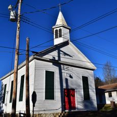
Washington County, Administrative county in southeastern Missouri, United States

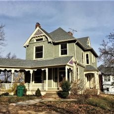
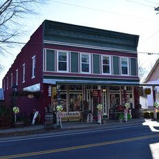
Washington County is an administrative division in southeastern Missouri that encompasses multiple municipalities, with Potosi serving as the county seat. The county includes several towns and unincorporated areas distributed across its territory.

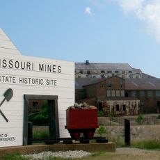
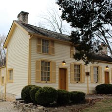
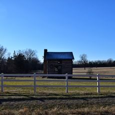
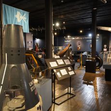
French explorers first entered the region in 1722, which eventually led to the development of mining operations in the area. Permanent settlement began in 1763 when French colonists established communities in the territory.

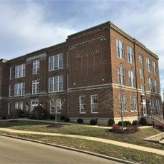
The county maintains multiple educational institutions, including Kingston K-XIV, Potosi R-III, and Richwoods R-VII school districts serving local communities throughout the region.

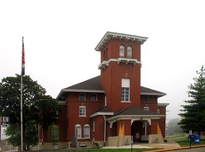
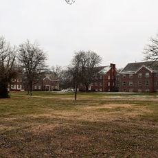
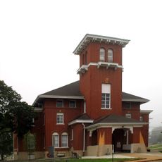
The County Courthouse in Potosi serves as the central location for government services and administrative matters. Visitors can find essential county offices and resources at this location.

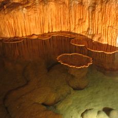
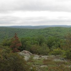
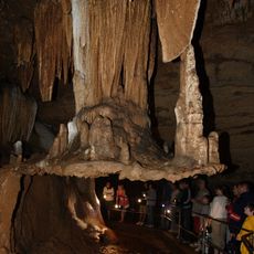
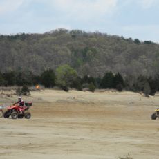
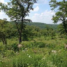
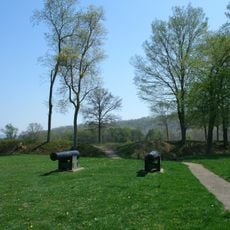
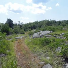
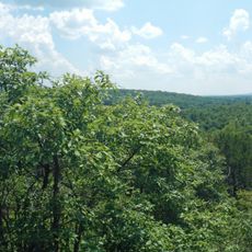
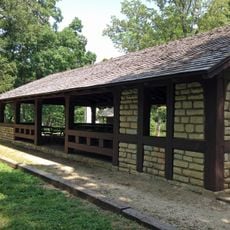
The area contains natural sites such as Big River Access and Council Bluff Lake where visitors can enjoy water-based recreation. Buford Mountain also provides additional opportunities for outdoor activities.

Location: Missouri

Inception: 1813

Capital city: Potosi

Shares border with: Franklin County, Jefferson County, St. Francois County, Iron County, Crawford County

Website: http://washingtoncountymo.us

GPS coordinates: 37.97000,-90.88000

Latest update: December 7, 2025 19:25

Around this place
Show the full map
Meramec Caverns
United States of America

Meramec Caverns

35.5 km
Elephant Rocks State Park
United States of America

Elephant Rocks State Park

39 km
Onondaga Cave State Park
United States of America

Onondaga Cave State Park

32.3 km
Bell Mountain Wilderness
United States of America

Bell Mountain Wilderness

37.7 km
Meramec State Park
United States of America

Meramec State Park

32.8 km
St. Joe State Park
United States of America

St. Joe State Park

36.7 km
Washington State Park
United States of America

Washington State Park

21.4 km
Missouri Mines State Historic Site
United States of America

Missouri Mines State Historic Site

35.7 km
Dillard Mill State Historic Site
United States of America

Dillard Mill State Historic Site

40.2 km
Fort Davidson
United States of America

Fort Davidson

43.4 km
Jay Nixon State Park
United States of America

Jay Nixon State Park

43.1 km
International Shoe Company Building
United States of America

International Shoe Company Building

43.1 km
Buford Mountain Conservation Area
United States of America

Buford Mountain Conservation Area

32.4 km
Meramec Conservation Area
United States of America

Meramec Conservation Area

33.5 km
Presbyterian Orphanage of Missouri
United States of America

Presbyterian Orphanage of Missouri

44.9 km
Bootleg Access
United States of America

Bootleg Access

19.9 km
Thomas C. Fletcher House
United States of America

Thomas C. Fletcher House

40 km
Bonne Terre Depot
United States of America

Bonne Terre Depot

29.6 km
Immanuel Evangelical Lutheran Church
United States of America

Immanuel Evangelical Lutheran Church

43.7 km
Washington County Courthouse
United States of America

Washington County Courthouse

8.9 km
Panhorst Feed Store
United States of America

Panhorst Feed Store

42.9 km
Central School Campus
United States of America

Central School Campus

34 km
Louis J. and Harriet Rozier House
United States of America

Louis J. and Harriet Rozier House

33.9 km
Caledonia Historic District
United States of America

Caledonia Historic District

24.9 km
Harrison Queen House
United States of America

Harrison Queen House

22.3 km
Jesse James Wax Museum
United States of America

Jesse James Wax Museum

39.1 km
Space Museum
United States of America

Space Museum

29.3 km
Washington State Park CCC Historic District
United States of America

Washington State Park CCC Historic District

21.8 km
Show the full map

Reviews

Visited this place? Tap the stars to rate it and share your experience / photos with the community! Try now! You can cancel it anytime.

« Washington County - Administrative county in southeastern Missouri, United States » is provided by Around Us (aroundus.com). Images and texts are derived from Wikimedia project under a Creative Commons license. You are allowed to copy, distribute, and modify copies of this page, under the conditions set by the license, as long as this note is clearly visible.

Discover hidden gems everywhere you go!

From secret cafés to breathtaking viewpoints, skip the crowded tourist spots and find places that match your style. Our app makes it easy with voice search, smart filtering, route optimization, and insider tips from travelers worldwide. Download now for the complete mobile experience.

Around Us App Screenshot

A unique approach to discovering new places

Le Figaro

All the places worth exploring

France Info

A tailor-made excursion in just a few clicks

20 Minutes