Chest opened
+${chestReward.xp} XP
Explorer
NOUVEAU ×${chestReward.collectible.quantity}
tapez pour fermer
Chest locked

Open chests in the app

Around Us is built for your phone — chests unlock when you walk, explore and capture nearby places.

Enable Location

We need your location to show you interesting places around you

Discover nearby places

Find interesting locations and hidden gems around you

Precise directions

Get accurate directions and distances to places

Your location is never shared with other users. It's only used when you tap the location button.

Ford City

Log in to your account

Start exploring — it's free

Trusted by 72,893 travelers worldwide

Continue with Google
Continue with Apple
or

We will send you a code to connect

By continuing, you accept our Terms and Conditions and our Privacy Policy

Check your inbox

We've sent a pincode in your inbox. Please enter the code below.

Discussion Reviews 1 Photos
10.9k Popularity

Ford City, Borough in Armstrong County, Pennsylvania, United States

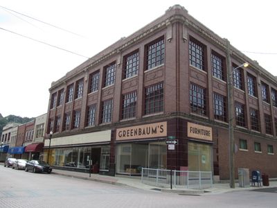
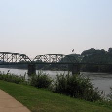
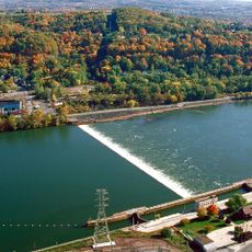
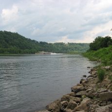
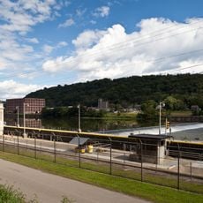
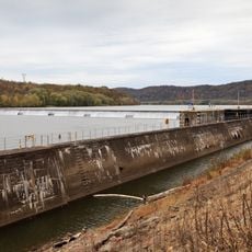
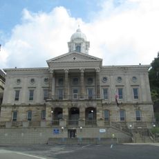
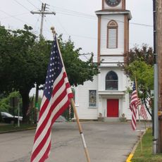
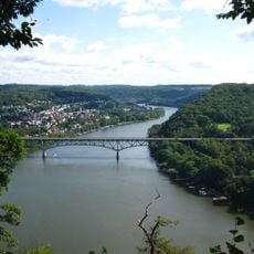
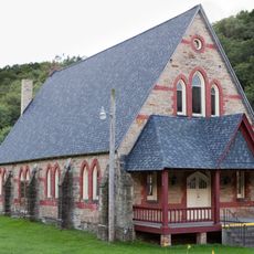
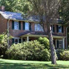
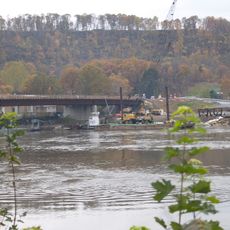
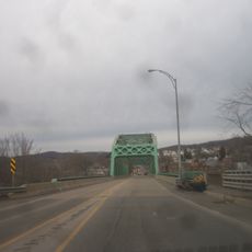
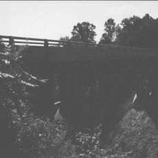
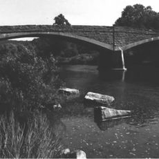
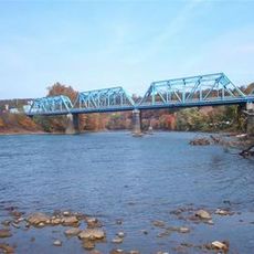
Ford City is a borough situated along the eastern bank of the Allegheny River in Pennsylvania, with neighborhoods and commercial areas spread throughout its layout. The community blends residential streets with local shops and public spaces that serve daily life.

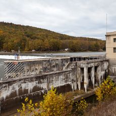
The settlement was founded in 1887 by Captain John B. Ford as a glass manufacturing hub, drawing on regional resources and water access. The industry became the economic foundation of the community for over a century.

The population of Ford City represents more than 35 European ethnic groups, who arrived to work in the glass manufacturing facilities during the early settlement period.

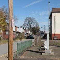
Visitors can explore the area on foot, with parks and community facilities easily accessible throughout the neighborhoods. The riverside location makes walking routes natural, with pathways along the water and through residential areas.

The Pittsburgh Plate Glass Company facility, which operated until 1992, manufactured glass products that were distributed worldwide from this Pennsylvania location.

The community of curious travelers

AroundUs brings together thousands of curated places, local tips, and hidden gems, enriched daily by 60,000 contributors worldwide.

Start exploring
GPS coordinates
40.76944,-79.53177
Latest update
December 8, 2025 13:44
Around this place
Rachel Carson Trail
United States of America

Rachel Carson Trail

18.5 km
Kittanning Citizens Bridge
United States of America

Kittanning Citizens Bridge

4.9 km
Burtner House
United States of America

Burtner House

22.8 km
Allegheny River Lock and Dam No. 9
United States of America

Allegheny River Lock and Dam No. 9

20.7 km
Allegheny River Lock and Dam No. 4
United States of America

Allegheny River Lock and Dam No. 4

23.3 km
Harrison Hills Park
United States of America

Harrison Hills Park

19.4 km
Allegheny River Lock and Dam No. 7
United States of America

Allegheny River Lock and Dam No. 7

5.8 km
Drake Log Cabin
United States of America

Drake Log Cabin

21.5 km
St. Gertrude Roman Catholic Church
United States of America

St. Gertrude Roman Catholic Church

18.8 km
Allegheny River Lock and Dam No. 6
United States of America

Allegheny River Lock and Dam No. 6

7.2 km
Allegheny River Lock and Dam No. 5
United States of America

Allegheny River Lock and Dam No. 5

14.7 km
Allegheny River Lock and Dam No. 8
United States of America

Allegheny River Lock and Dam No. 8

14.7 km
Armstrong County Courthouse and Jail
United States of America

Armstrong County Courthouse and Jail

5.4 km
Saxonburg Historic District
United States of America

Saxonburg Historic District

24.3 km
Donald R. Lobaugh Bridge
United States of America

Donald R. Lobaugh Bridge

17.6 km
Pennsalt Historic District
United States of America

Pennsalt Historic District

23.5 km
Judge J. Frank Graff Bridge
United States of America

Judge J. Frank Graff Bridge

3.2 km
Freeport Rail Bridge
United States of America

Freeport Rail Bridge

15.6 km
St. Stephen's Church
United States of America

St. Stephen's Church

26.4 km
Vandergrift Historic District
United States of America

Vandergrift Historic District

18.8 km
John Walter Farmstead
United States of America

John Walter Farmstead

25.1 km
Sergeant Carl F. Curran II Bridge
United States of America

Sergeant Carl F. Curran II Bridge

25.5 km
Leechburg Bridge
United States of America

Leechburg Bridge

17.3 km
Colwell Cut Viaduct
United States of America

Colwell Cut Viaduct

23.4 km
Bridge between Madison and Mahoning Townships
United States of America

Bridge between Madison and Mahoning Townships

21.7 km
Mill Bridge
United States of America

Mill Bridge

16.9 km
John Roebling House
United States of America

John Roebling House

23.6 km
East Brady Bridge
United States of America

East Brady Bridge

25.6 km
Show the full map
Reviews
Share your experience

No review yet

Discussions
Start a discussion...

No discussion yet

« Ford City - Borough in Armstrong County, Pennsylvania, United States » is provided by Around Us (aroundus.com). Images and texts are derived from Wikimedia project under a Creative Commons license. You are allowed to copy, distribute, and modify copies of this page, under the conditions set by the license, as long as this note is clearly visible.

Discover hidden gems everywhere you go!

From secret cafés to breathtaking viewpoints, skip the crowded tourist spots and find places that match your style. Our app makes it easy with voice search, smart filtering, route optimization, and insider tips from travelers worldwide. Download now for the complete mobile experience.

Around Us App Screenshot

A unique approach to discovering new places

Le Figaro

All the places worth exploring

France Info

A tailor-made excursion in just a few clicks

20 Minutes

Around Us
Travel Guide & Maps
Download

Send to your phone

QR Code
1

Open the camera app on your mobile.

2

Point at the QR code with your camera. A notification will appear.

3

Tap the notification to open the link.