Blairsville

Log in to your account

AroundUs is a community-driven map of interesting places, built by curious explorers like you. It grows with every review, story, and photo you share.
Connect to save your favorite spots, contribute locations, and create personalized routes.
Continue with Google
Continue with Apple
Continue with X
Continue with Facebook
Continue with email
By continuing, you accept our Terms and Conditions and our Privacy Policy
Create an account
Add to collection
Map
Suggest a change
Share

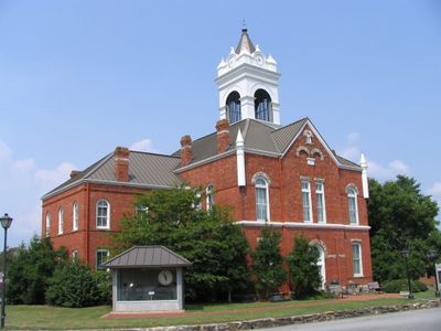
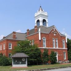
Blairsville, County seat in northern Georgia, United States.

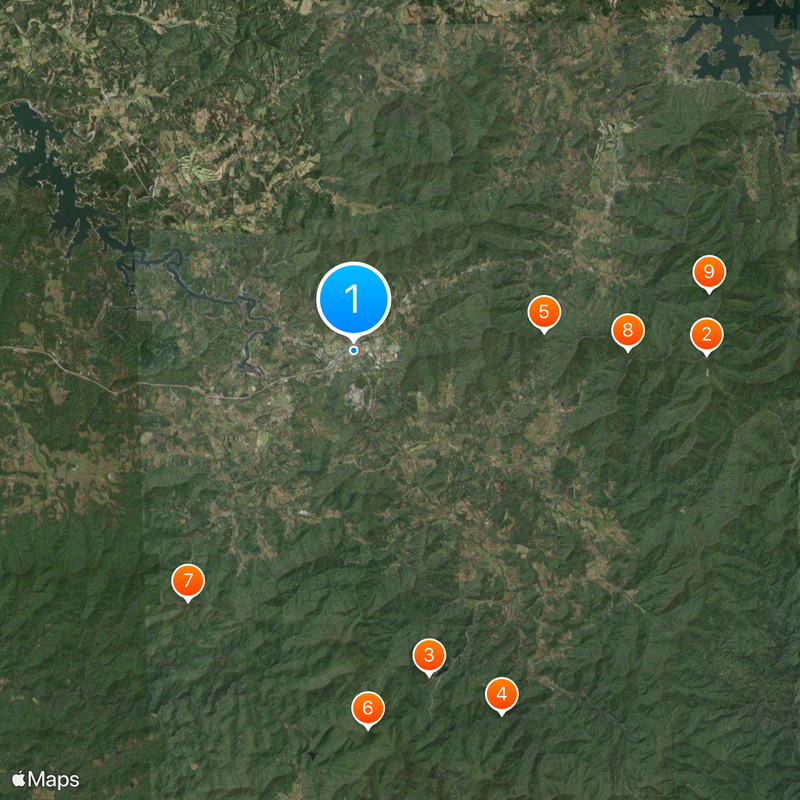
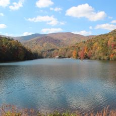
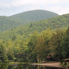
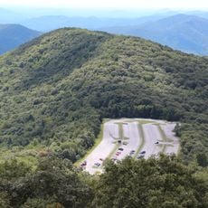
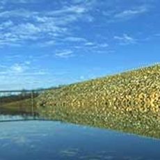
Blairsville sits in a valley at about 1,900 feet elevation near the Nottely River, which was dammed by the Tennessee Valley Authority to create Lake Nottely. The town serves as the administrative center of Union County and is connected to surrounding communities by U.S. Routes 19 and 76, along with Georgia State Route 515.

Georgia's General Assembly established Blairsville as the county seat in 1835 and named it after James Blair, a veteran of the American Revolutionary War. The creation of the town as the county's administrative hub marked the formal development of this northern mountain region.

The Sorghum Festival in October and Green Bean Festival in July bring residents together for competitions, pageants, and harvest celebrations. These seasonal events shape community life and show how much the region values its farming heritage.

The town is easy to reach via the main highways connecting to the lake and surrounding attractions. Local facilities are set up for day visitors, with downtown parking and shops that cater to travelers' needs.

The North Georgia News newspaper has covered events in Blairsville since 1909, documenting the town's evolution for over a century. The paper remains a key part of how locals remember and understand their community's story.

Location: Union County

Elevation above the sea: 574 m

Website: http://blairsville-ga.gov

GPS coordinates: 34.87556,-83.95667

Latest update: December 17, 2025 08:12

Photos
Around this place
Brasstown Bald
United States of America

Brasstown Bald

13.3 km
Vogel State Park
United States of America

Vogel State Park

12.5 km
Helton Creek Falls
United States of America

Helton Creek Falls

14.8 km
United States of America

Track Rock

7.2 km
Slaughter Mountain
United States of America

Slaughter Mountain

14.2 km
United States of America

Duncan Ridge Trail

11.3 km
Arkaquah Trail
United States of America

Arkaquah Trail

10.4 km
United States of America

Brasstown Wilderness

13.6 km
Wolfpen Ridge
United States of America

Wolfpen Ridge

13.6 km
Jacks Knob Trail
United States of America

Jacks Knob Trail

14.6 km
Lake Trahlyta Spillway
United States of America

Lake Trahlyta Spillway

12.3 km
United States of America

Coosa Bald National Scenic Area

12.2 km
Old Union County Jail
United States of America

Old Union County Jail

306 m
Young Harris College Historic District
United States of America

Young Harris College Historic District

11.9 km
Old Union County Courthouse
United States of America

Old Union County Courthouse

178 m
Raburn-Casteel House
United States of America

Raburn-Casteel House

6.1 km
United States of America

Sheep Nose

13.8 km
United States of America

Blue Bluff

10.4 km
United States of America

Brasstown Bald Visitor Information Center

13.3 km
United States of America

Byron Herbert Reece Farm and Heritage Center

11.3 km
Lake Nottely
United States of America

Lake Nottely

12.3 km
United States of America

Miniature Golf

12.6 km
United States of America

Butternut Creek Golf Course

842 m
United States of America

World's Largest Amish Chair

4 km
United States of America

Byron Herbert Reece Farm and Heritage Center

11.6 km
United States of America

Brasstown Bald Visitors Center

13.3 km
United States of America

Scenic viewpoint

13.1 km
United States of America

M551 Sheridan

1 km
Show the full map
Reviews

Visited this place? Tap the stars to rate it and share your experience / photos with the community! Try now! You can cancel it anytime.

« Blairsville - County seat in northern Georgia, United States » is provided by Around Us (aroundus.com). Images and texts are derived from Wikimedia project under a Creative Commons license. You are allowed to copy, distribute, and modify copies of this page, under the conditions set by the license, as long as this note is clearly visible.

Discover hidden gems everywhere you go!

From secret cafés to breathtaking viewpoints, skip the crowded tourist spots and find places that match your style. Our app makes it easy with voice search, smart filtering, route optimization, and insider tips from travelers worldwide. Download now for the complete mobile experience.

Around Us App Screenshot

A unique approach to discovering new places

Le Figaro

All the places worth exploring

France Info

A tailor-made excursion in just a few clicks

20 Minutes