Union County, Administrative division in Georgia, United States
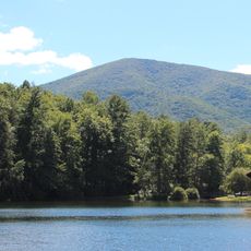
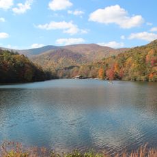
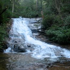
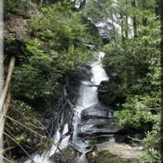
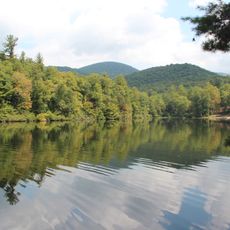
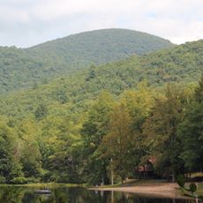
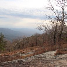
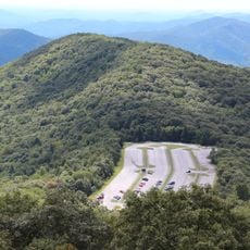
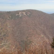
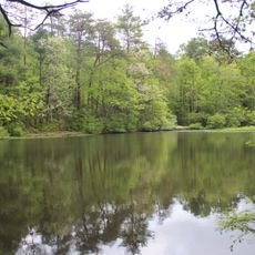
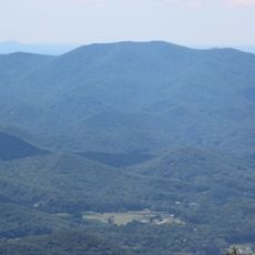
Union County is an administrative division in northern Georgia characterized by mountainous terrain, forests, and river valleys. The area includes several small towns and rural communities spread across rolling hills and valleys.
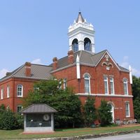
Union County was established in 1832 to organize local governance in this mountainous section of northern Georgia. The creation brought systematic administration to the region's residents and land management.
Regular county commission meetings attract residents who participate in discussions about local development, infrastructure improvements, and community initiatives.
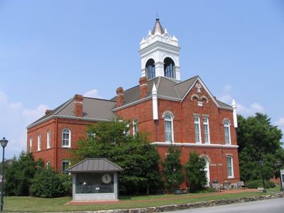
The county administration office and courthouse provide services for property management, marriages, and permits. Visitors should check in advance for office hours and what documents may be needed for any county services.
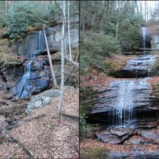
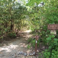
The region is home to specialized emergency response teams trained for mountain rescues in the southern Appalachian area. These responders are prepared for the particular challenges of high-altitude terrain and weather conditions.
Location: Georgia
Inception: December 3, 1832
Capital city: Blairsville
Shares border with: Cherokee County, Lumpkin County, Clay County, Towns County, White County, Fannin County
Website: http://unioncountyga.gov
GPS coordinates: 34.83000,-83.99000
Latest update: December 22, 2025 17:13
Brasstown Bald
17.1 km
Blood Mountain
11.2 km
Vogel State Park
9.3 kmRaven Cliff Falls
20.7 km
DeSoto Falls
14.1 km
Helton Creek Falls
12.2 kmTrack Rock
11.8 km
Dukes Creek
23.1 km
Jacks Knob
17.8 km
Lake Winfield Scott
10 km
Walasi-Yi Interpretive Center
12.4 km
Blood Mountain Wilderness
10.7 km
Slaughter Mountain
9.8 km
Raven Cliffs Wilderness
19.1 kmMark Trail Wilderness
18.5 kmDuncan Ridge Trail
5.4 km
Arkaquah Trail
14.3 kmBrasstown Wilderness
18 km
Wolfpen Ridge
17 km
Jacks Knob Trail
17.5 km
Horsetrough Falls
19 km
Wildcat Mountain
18.5 km
Dockery Lake Recreation Area
17.3 km
Lake Trahlyta Spillway
9.5 kmHorsetrough Mountain
16.6 km
Levelland Mountain
13.8 kmBlue Ridge Wildlife Management Area
24 kmCoosa Bald National Scenic Area
7.4 kmVisited this place? Tap the stars to rate it and share your experience / photos with the community! Try now! You can cancel it anytime.
Discover hidden gems everywhere you go!
From secret cafés to breathtaking viewpoints, skip the crowded tourist spots and find places that match your style. Our app makes it easy with voice search, smart filtering, route optimization, and insider tips from travelers worldwide. Download now for the complete mobile experience.
A unique approach to discovering new places❞
— Le Figaro
All the places worth exploring❞
— France Info
A tailor-made excursion in just a few clicks❞
— 20 Minutes