
Huntington, town in Chittenden County, Vermont, United States
Location: Chittenden County
Elevation above the sea: 235 m
GPS coordinates: 44.30050,-72.95383
Latest update: March 3, 2025 09:14
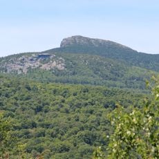
Camel's Hump
5.8 km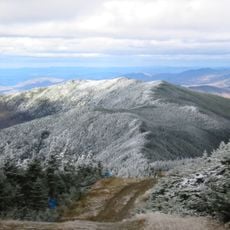
Mount Ellen
15.8 km
Buels Gore
10.3 km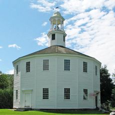
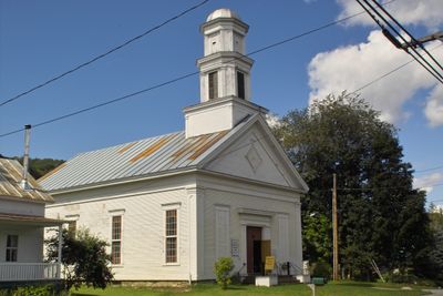
Old Round Church
11.6 km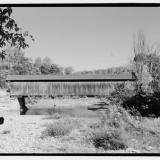
Great Eddy Covered Bridge
16.2 km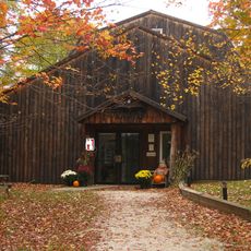
Birds of Vermont Museum
7.1 km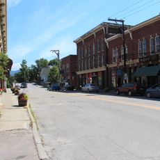
Waterbury Village Historic District
16.3 km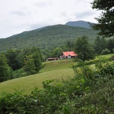
Honey Hollow Camp
6.3 km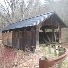
Sequin Covered Bridge
15.7 km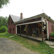
Knoll Farm
14.7 km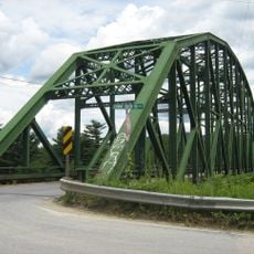
Winooski River Bridge
14.6 km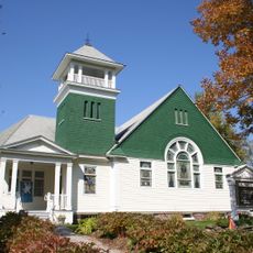
Richmond Congregational Church
12 km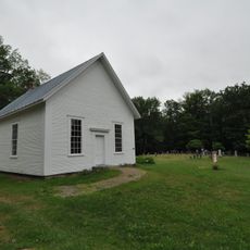
South Starksboro Friends Meeting House and Cemetery
15.6 km
Cicero Goddard Peck House
12.9 km
Jonesville Academy
9.1 km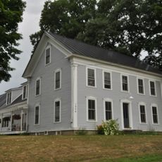
Mad River Valley Rural Historic District
15.7 km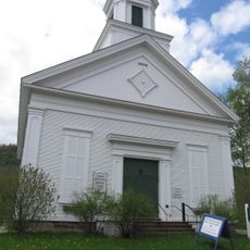
Huntington Lower Village Church
4 km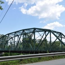
Winooski Street Bridge
15.7 km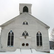
Starksboro Village Meeting House
11.8 km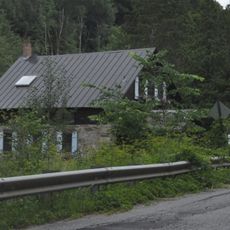
Hoag Gristmill and Knight House Complex
11.1 km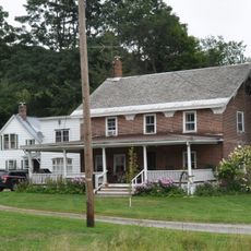
Gray Rocks
11.4 km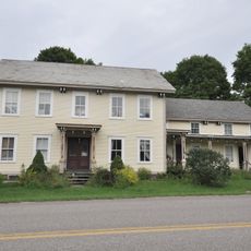
Martin M. Bates Farmstead
8 km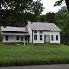
Preston-Lafreniere Farm
9 km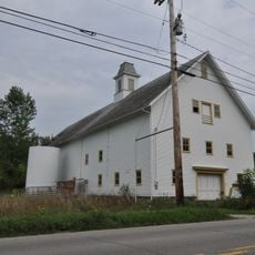
Remington-Williamson Farm
1.3 km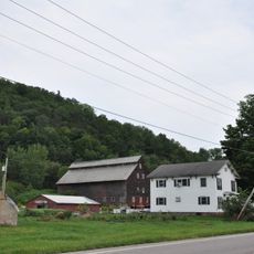
M. S. Whitcomb Farm
10.6 km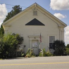
Monkton Town Hall
14.6 km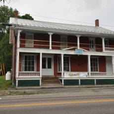
Waitsfield Village Historic District
16.1 km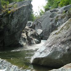
Huntington Gorge
7.5 kmVisited this place? Tap the stars to rate it and share your experience / photos with the community! Try now! You can cancel it anytime.
Discover hidden gems everywhere you go!
From secret cafés to breathtaking viewpoints, skip the crowded tourist spots and find places that match your style. Our app makes it easy with voice search, smart filtering, route optimization, and insider tips from travelers worldwide. Download now for the complete mobile experience.

A unique approach to discovering new places❞
— Le Figaro
All the places worth exploring❞
— France Info
A tailor-made excursion in just a few clicks❞
— 20 Minutes