Enable Location

We need your location to show you interesting places around you

Discover nearby places

Find interesting locations and hidden gems around you

Precise directions

Get accurate directions and distances to places

Your location is never shared with other users. It's only used when you tap the location button.

Negaunee

Log in to your account

Start exploring — it's free

Trusted by 63,287 travelers worldwide

Continue with Google
Continue with Apple
or

We will send you a code to connect

By continuing, you accept our Terms and Conditions and our Privacy Policy

Check your inbox

We've sent a pincode in your inbox. Please enter the code below.

Discussion Reviews 1 Photos
16.6k Popularity

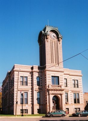
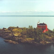
Negaunee, city in Marquette County, Michigan, United States

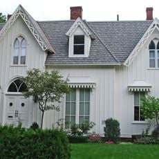
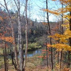
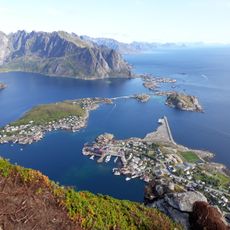
Negaunee is a small city in Marquette County, Michigan, located in a region shaped by iron mining history. The town features modestly designed homes built close together and is surrounded by forests and extensive trail networks that wind through the Upper Peninsula landscape.

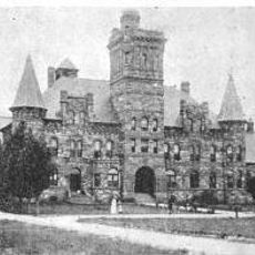
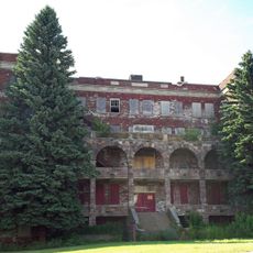
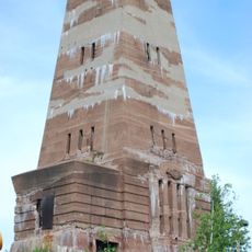
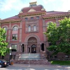
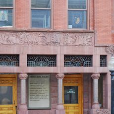
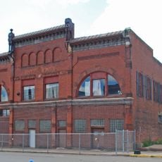
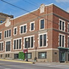
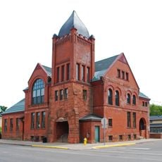
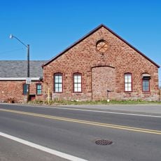
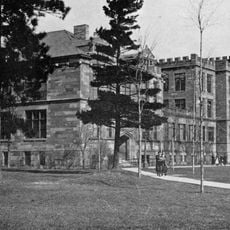
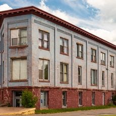
The city was founded around 1845 when the Jackson Mine opened and iron ore extraction drove its growth. The mining industry shaped the town's development and left behind old buildings and relics that tell the story of its working-class past.

The town carries its mining heritage through local traditions and pride in the outdoors that residents actively share. Visitors can browse vintage shops for items with historical character and taste traditional pasties that reflect the area's working-class roots.

The town is best explored on foot or by bike using well-maintained trails that pass through forests and open areas. Visitors should be prepared for sections with steep terrain and rocky ground, particularly at higher elevations where the landscape becomes more exposed.

The Iron Ore Heritage Trail connects Negaunee to nearby towns and traces the historical path of iron ore transport with old mines and bridges still visible along the route. This path lets visitors follow the actual routes miners used and understand how communities depended on each other during the mining era.

The community of curious travelers

AroundUs brings together thousands of curated places, local tips, and hidden gems, enriched daily by 60,000 contributors worldwide.

Start exploring
Location
Inception
1858
Elevation above the sea
418 m
GPS coordinates
46.49910,-87.61180
Latest update
February 17, 2026 02:01
Around this place
Superior Dome
United States of America

Superior Dome

18 km
Marquette Branch Prison
United States of America

Marquette Branch Prison

17.6 km
National Ski Hall of Fame
United States of America

National Ski Hall of Fame

4.2 km
Holy Family Orphanage
United States of America

Holy Family Orphanage

16.6 km
Cliffs Shaft Mine Museum
United States of America

Cliffs Shaft Mine Museum

4.9 km
Marquette Harbor Light
United States of America

Marquette Harbor Light

18.8 km
Peter White Public Library
United States of America

Peter White Public Library

17.5 km
Mather Inn
United States of America

Mather Inn

4.4 km
Marquette County Courthouse
United States of America

Marquette County Courthouse

17.2 km
Palestra, The Marquette
United States of America

Palestra, The Marquette

17.8 km
Vista Theater
United States of America

Vista Theater

17.9 km
Marquette City Hall
United States of America

Marquette City Hall

17.3 km
Coaster II
United States of America

Coaster II

17.5 km
Savings Bank Building
United States of America

Savings Bank Building

17.5 km
Call House
United States of America

Call House

18.2 km
Arch and Ridge Streets Historic District
United States of America

Arch and Ridge Streets Historic District

18.1 km
Carp River Forge
United States of America

Carp River Forge

4.3 km
Sundberg Block
United States of America

Sundberg Block

99 m
Longyear Building
United States of America

Longyear Building

17.6 km
Ishpeming Municipal Building
United States of America

Ishpeming Municipal Building

4.5 km
Cleveland Mine Engine House Number 3
United States of America

Cleveland Mine Engine House Number 3

3.8 km
Longyear Hall of Pedagogy
United States of America

Longyear Hall of Pedagogy

17.6 km
Ishpeming Main Street Historic District
United States of America

Ishpeming Main Street Historic District

4.5 km
Marquette Maritime Museum
United States of America

Marquette Maritime Museum

18.5 km
Reine utsiktspunkt
Norway

Reine utsiktspunkt

19 km
Dead River Beach
United States of America

Dead River Beach

18.9 km
Marquette Regional History Center
United States of America

Marquette Regional History Center

17.2 km
Negaunee State Bank Building
United States of America

Negaunee State Bank Building

129 m
Show the full map
Reviews
Share your experience

No review yet

Discussions
Start a discussion...

No discussion yet

« Negaunee - city in Marquette County, Michigan, United States » is provided by Around Us (aroundus.com). Images and texts are derived from Wikimedia project under a Creative Commons license. You are allowed to copy, distribute, and modify copies of this page, under the conditions set by the license, as long as this note is clearly visible.

Discover hidden gems everywhere you go!

From secret cafés to breathtaking viewpoints, skip the crowded tourist spots and find places that match your style. Our app makes it easy with voice search, smart filtering, route optimization, and insider tips from travelers worldwide. Download now for the complete mobile experience.

Around Us App Screenshot

A unique approach to discovering new places

Le Figaro

All the places worth exploring

France Info

A tailor-made excursion in just a few clicks

20 Minutes

Around Us
Travel Guide & Maps
Download

Send to your phone

QR Code
1

Open the camera app on your mobile.

2

Point at the QR code with your camera. A notification will appear.

3

Tap the notification to open the link.