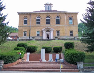
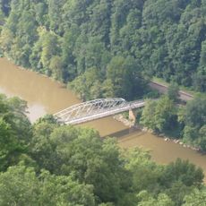
Clay County, Administrative division in West Virginia, United States
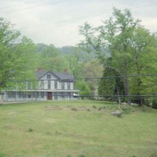
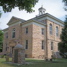
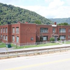
Clay County is an administrative division in West Virginia that encompasses multiple municipalities and serves as the local governance unit for its residents. The county government operates various departments that handle property records, planning matters, and public services across the region.
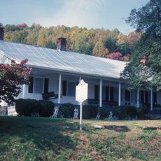
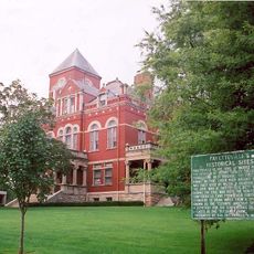
The county was established to organize local governance and coordinate public services across this region of West Virginia. Its creation reflected the need to support a growing population with structured administration and community infrastructure.
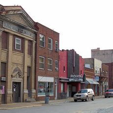
Clay County maintains strong community bonds through local events, public gatherings, and activities that connect residents throughout the region.
Visitors and residents can access the county government center during regular business hours to obtain services and information. Staff there can help with administrative matters and provide direction to local resources and opportunities throughout the area.
The county utilizes advanced geographic information systems for mapping and spatial analysis, supporting various local projects and planning initiatives.
Location: West Virginia
Inception: March 29, 1858
Capital city: Clay
Shares border with: Calhoun County, Nicholas County, Kanawha County, Roane County, Braxton County
Website: http://claycounty.wv.gov
GPS coordinates: 38.46000,-81.07000
Latest update: December 7, 2025 10:07
New River Gorge Bridge
43.6 km
Summersville Lake
30.7 km
Hawks Nest State Park
37.9 km
Carnifex Ferry Battlefield State Park
30.2 km
Tunney Hunsaker Bridge
44 km
Glen Ferris Inn
36.7 km
Robey Theatre, Spencer
38.8 km
Page-Vawter House
36.1 km
Old Main
27.2 km
Altamont Hotel
45.4 km
Cedar Grove
41 km
Nicholas County Courthouse
29.1 km
Contentment
36.3 km
Booker T. Washington High School
39 km
Old Clay County Courthouse
1.2 km
William Edgar Haymond House
38.8 km
Clendenin Historic District
24.4 km
Fayette County Courthouse
45.3 km
Sutton Downtown Historic District
38.9 km
Nicholas County Bank
27.6 km
Windy Run Grade School
33.9 km
Pratt Historic District
39 km
Earl M. Vickers Bridge
37.7 km
Flatwoods Monster Museum
38.8 km
Fayette Station Road
43.7 km
Main Building
38.4 km
Nuttall Coal Mine Conveyor
45.5 km
Old Sutton High School
39.1 kmVisited this place? Tap the stars to rate it and share your experience / photos with the community! Try now! You can cancel it anytime.
Discover hidden gems everywhere you go!
From secret cafés to breathtaking viewpoints, skip the crowded tourist spots and find places that match your style. Our app makes it easy with voice search, smart filtering, route optimization, and insider tips from travelers worldwide. Download now for the complete mobile experience.
A unique approach to discovering new places❞
— Le Figaro
All the places worth exploring❞
— France Info
A tailor-made excursion in just a few clicks❞
— 20 Minutes