Chest opened
+${chestReward.xp} XP
Explorer
NOUVEAU ×${chestReward.collectible.quantity}
tapez pour fermer
Chest locked

Open chests in the app

Around Us is built for your phone — chests unlock when you walk, explore and capture nearby places.

Enable Location

We need your location to show you interesting places around you

Discover nearby places

Find interesting locations and hidden gems around you

Precise directions

Get accurate directions and distances to places

Your location is never shared with other users. It's only used when you tap the location button.

Bonner Springs

Log in to your account

Start exploring — it's free

Trusted by 72,897 travelers worldwide

Continue with Google
Continue with Apple
or

We will send you a code to connect

By continuing, you accept our Terms and Conditions and our Privacy Policy

Check your inbox

We've sent a pincode in your inbox. Please enter the code below.

Discussion Reviews 1 Photos
22.2k Popularity

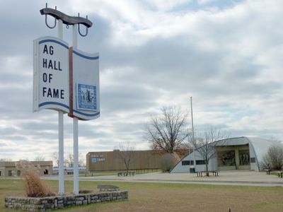
Bonner Springs, city in Wyandotte, Leavenworth, and Johnson counties in Kansas, United States

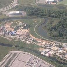
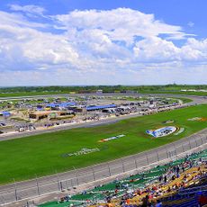
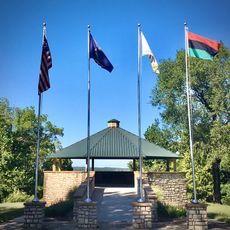
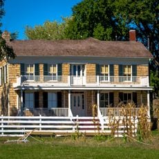
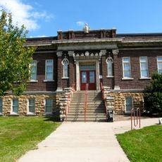
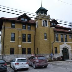
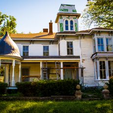
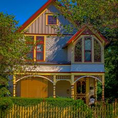
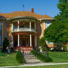
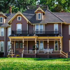
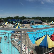
Bonner Springs is a city in Kansas that spans three counties and features a mix of residential areas, commercial zones, and green spaces. The city combines rural and urban characteristics with streets that pass through different neighborhoods and connect to parks and local business districts.

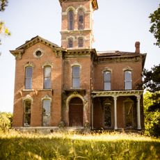
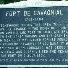
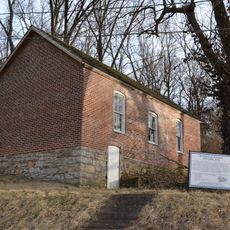
The city emerged in the 19th century as a result of railroad development and industrial expansion in the Kansas region. Its growth was tied to settlement patterns and economic activities that shaped the place over decades.

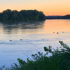
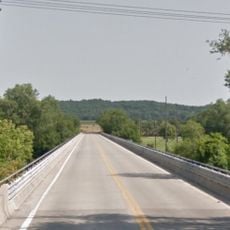
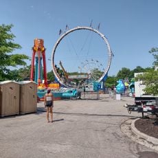
Visitors can explore the city best on foot or by car, as streets connect various areas and parking is available throughout. The best time to visit is during warmer months when parks and outdoor areas have the most to offer.

The city spans three separate counties, making it a geographically unusual administrative arrangement. Visitors often overlook this division, which contributes to its varied local structure.

The community of curious travelers

AroundUs brings together thousands of curated places, local tips, and hidden gems, enriched daily by 60,000 contributors worldwide.

Start exploring
Location
Location
Inception
1812
Elevation above the sea
265 m
GPS coordinates
39.06670,-94.87920
Latest update
December 14, 2025 17:20
Around this place
Children's Mercy Park
United States of America

Children's Mercy Park

7.8 km
Schlitterbahn Kansas City
United States of America

Schlitterbahn Kansas City

8.8 km
Kansas Speedway
United States of America

Kansas Speedway

6.9 km
Sauer Castle
United States of America

Sauer Castle

21.2 km
Wyandotte High School
United States of America

Wyandotte High School

19.9 km
Quindaro Townsite
United States of America

Quindaro Townsite

21.1 km
Verrückt
United States of America

Verrückt

8.7 km
Grinter Place
United States of America

Grinter Place

10.4 km
Waddell "A" Truss Bridge
United States of America

Waddell "A" Truss Bridge

21.6 km
Mahaffie House
United States of America

Mahaffie House

20.6 km
English Landing Park
United States of America

English Landing Park

21.8 km
Fort de Cavagnal
United States of America

Fort de Cavagnal

18.1 km
Vox Theatre
United States of America

Vox Theatre

21.6 km
Argentine Carnegie Library
United States of America

Argentine Carnegie Library

18.9 km
Fire Station No. 9
United States of America

Fire Station No. 9

20.7 km
Highway 2 Bridge
United States of America

Highway 2 Bridge

12 km
Benjamin Banneker School
United States of America

Benjamin Banneker School

21.9 km
Park Lanes Family Fun Center
United States of America

Park Lanes Family Fun Center

12.2 km
I. O. Pickering House
United States of America

I. O. Pickering House

20.9 km
Albert Ott House
United States of America

Albert Ott House

21.7 km
Rio Theatre
United States of America

Rio Theatre

20.3 km
Franklin R. Lanter House
United States of America

Franklin R. Lanter House

21 km
Turner Bridge
United States of America

Turner Bridge

14.9 km
Martin Van Buren Parker House
United States of America

Martin Van Buren Parker House

20.9 km
Mahaffie Stagecoach Stop-Farm
United States of America

Mahaffie Stagecoach Stop-Farm

20.6 km
Thomas A. Soetaert Aquatic Center
United States of America

Thomas A. Soetaert Aquatic Center

12.7 km
National Agricultural Center and Hall of Fame
United States of America

National Agricultural Center and Hall of Fame

4.6 km
Shawnee Town 1929 Museum
United States of America

Shawnee Town 1929 Museum

14.5 km
Show the full map
Reviews
Share your experience

No review yet

Discussions
Start a discussion...

No discussion yet

« Bonner Springs - city in Wyandotte, Leavenworth, and Johnson counties in Kansas, United States » is provided by Around Us (aroundus.com). Images and texts are derived from Wikimedia project under a Creative Commons license. You are allowed to copy, distribute, and modify copies of this page, under the conditions set by the license, as long as this note is clearly visible.

Discover hidden gems everywhere you go!

From secret cafés to breathtaking viewpoints, skip the crowded tourist spots and find places that match your style. Our app makes it easy with voice search, smart filtering, route optimization, and insider tips from travelers worldwide. Download now for the complete mobile experience.

Around Us App Screenshot

A unique approach to discovering new places

Le Figaro

All the places worth exploring

France Info

A tailor-made excursion in just a few clicks

20 Minutes

Around Us
Travel Guide & Maps
Download

Send to your phone

QR Code
1

Open the camera app on your mobile.

2

Point at the QR code with your camera. A notification will appear.

3

Tap the notification to open the link.