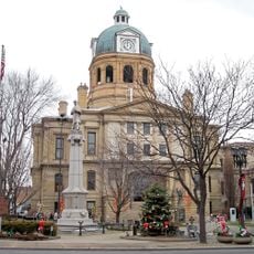
Uhrichsville, city in Tuscarawas County, Ohio, United States
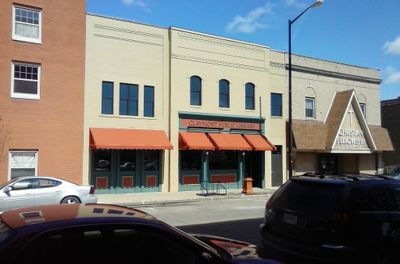
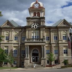
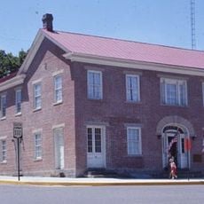
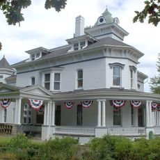
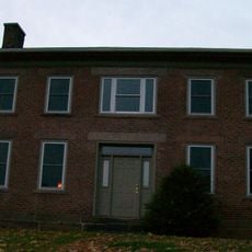
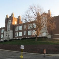
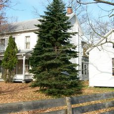
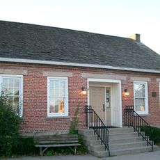
Uhrichsville is a small city in Tuscarawas County, Ohio, with a history spanning over a century. Its streets feature traditional brick buildings, homes, and small businesses where families shop and children play in parks.
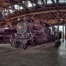
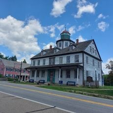
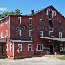
The city grew around the coal mining industry, which shaped many of its buildings and neighborhoods. Historical markers today still tell stories of the workers and mining traditions of that era.
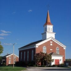
The name Uhrichsville comes from the city's early settlers. Today you see brick buildings with traditional designs and people gathering in local shops and parks. Community life shapes daily routines, with local churches and clubs bringing neighbors together.
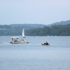
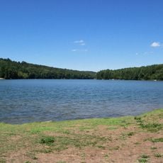
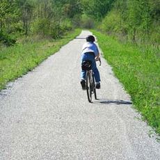
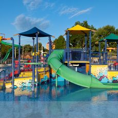
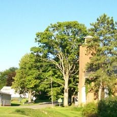
The city is easy to reach by road and is located close to larger towns and highways. You will find parks and open spaces where you can walk, bike, or simply enjoy the day outdoors.
The local library hosts regular story hours and reading programs for children. These programs foster a love of reading and make the library an important gathering place for families in the community.
The community of curious travelers
AroundUs brings together thousands of curated places, local tips, and hidden gems, enriched daily by 60,000 contributors worldwide.