Chest opened
+${chestReward.xp} XP
Explorer
NOUVEAU ×${chestReward.collectible.quantity}
tapez pour fermer
Chest locked

Open chests in the app

Around Us is built for your phone — chests unlock when you walk, explore and capture nearby places.

Enable Location

We need your location to show you interesting places around you

Discover nearby places

Find interesting locations and hidden gems around you

Precise directions

Get accurate directions and distances to places

Your location is never shared with other users. It's only used when you tap the location button.

Fort George

Log in to your account

Start exploring — it's free

Trusted by 72,876 travelers worldwide

Continue with Google
Continue with Apple
or

We will send you a code to connect

By continuing, you accept our Terms and Conditions and our Privacy Policy

Check your inbox

We've sent a pincode in your inbox. Please enter the code below.

Fort George
Discussion Reviews 1 Photos
10.6k Popularity

Fort George, Residential neighborhood in northern Manhattan, United States.

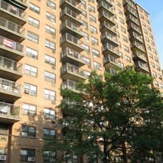
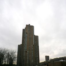
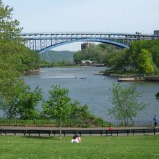
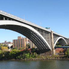
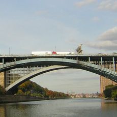
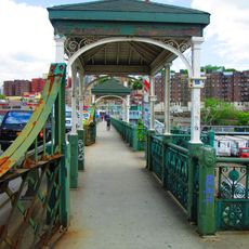
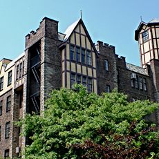
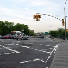
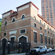
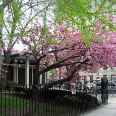
Fort George extends from West 181st Street to Dyckman Street between Broadway and the Harlem River in northern Manhattan. The neighborhood features steep streets, rolling hills, and a mix of older and newer residential buildings.

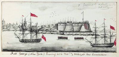
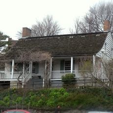
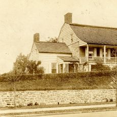
The name comes from a British fort built in 1776 during the American Revolutionary War as a defensive position. The area developed into a residential neighborhood in the 1800s as affordable housing and transportation connections attracted residents.

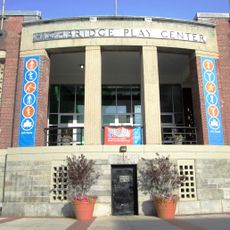
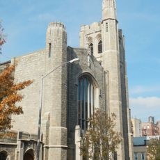
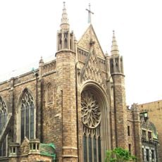
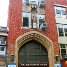
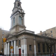
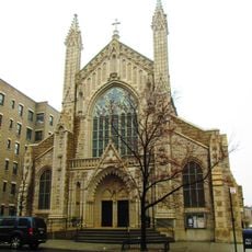
The neighborhood was historically a center of Jewish life and retains this character in many blocks. Kosher shops, synagogues, and religious schools remain visible markers of this heritage.

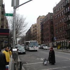
The neighborhood is served by multiple subway lines and bus routes providing good public transportation access. Walking is the best way to explore the area, though the steep hills require some effort to navigate comfortably.

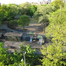
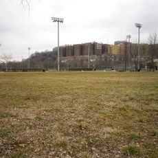
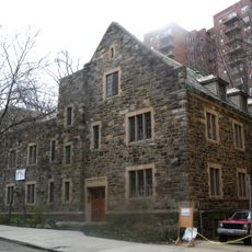
An amusement park operated on Fort George Hill from 1895 to 1914, featuring rides and attractions that drew crowds from across the city. The site is now part of an educational campus, its carnival past largely forgotten by most visitors today.

The community of curious travelers

AroundUs brings together thousands of curated places, local tips, and hidden gems, enriched daily by 60,000 contributors worldwide.

Start exploring
Location
GPS coordinates
40.85995,-73.92823
Latest update
March 5, 2026 21:06
Around this place
1520 Sedgwick Avenue
United States of America

1520 Sedgwick Avenue

1.5 km
Fort Tryon Park
United States of America

Fort Tryon Park

373 m
River Park Towers
United States of America

River Park Towers

1 km
Dyckman House
United States of America

Dyckman House

942 m
Inwood Hill Park
United States of America

Inwood Hill Park

1.4 km
Washington Bridge
United States of America

Washington Bridge

1.5 km
Alexander Hamilton Bridge
United States of America

Alexander Hamilton Bridge

1.6 km
Highbridge Park
United States of America

Highbridge Park

1.5 km
The Cloisters
United States of America

The Cloisters

630 m
Bennett Park
United States of America

Bennett Park

1.2 km
University Heights Bridge
United States of America

University Heights Bridge

1.2 km
Hudson View Gardens
United States of America

Hudson View Gardens

1.1 km
St. Elizabeth's Church
United States of America

St. Elizabeth's Church

811 m
Roberto Clemente State Park
United States of America

Roberto Clemente State Park

885 m
Fort Washington Avenue
United States of America

Fort Washington Avenue

1.6 km
Church of the Incarnation, Roman Catholic
United States of America

Church of the Incarnation, Roman Catholic

1.8 km
United States of America

Gorman Park

585 m
181st Street
United States of America

181st Street

1.4 km
Evangelical Lutheran Church of St. Matthew
United States of America

Evangelical Lutheran Church of St. Matthew

681 m
Our Lady Queen of Martyrs Church
United States of America

Our Lady Queen of Martyrs Church

440 m
Substation 17
United States of America

Substation 17

108 m
Mount Sinai Jewish Center
United States of America

Mount Sinai Jewish Center

783 m
Fort Washington Presbyterian Church
United States of America

Fort Washington Presbyterian Church

1.8 km
Our Saviour's Atonement Lutheran Church
United States of America

Our Saviour's Atonement Lutheran Church

840 m
Holyrood Episcopal Church
United States of America

Holyrood Episcopal Church

1.5 km
Hall of Fame for Great Americans
United States of America

Hall of Fame for Great Americans

1.2 km
Dyckman Farmhouse Museum
United States of America

Dyckman Farmhouse Museum

940 m
Coliseum Theatre
United States of America

Coliseum Theatre

1.2 km
Show the full map
Reviews
Share your experience

No review yet

Discussions
Start a discussion...

No discussion yet

« Fort George - Residential neighborhood in northern Manhattan, United States » is provided by Around Us (aroundus.com). Images and texts are derived from Wikimedia project under a Creative Commons license. You are allowed to copy, distribute, and modify copies of this page, under the conditions set by the license, as long as this note is clearly visible.

Discover hidden gems everywhere you go!

From secret cafés to breathtaking viewpoints, skip the crowded tourist spots and find places that match your style. Our app makes it easy with voice search, smart filtering, route optimization, and insider tips from travelers worldwide. Download now for the complete mobile experience.

Around Us App Screenshot

A unique approach to discovering new places

Le Figaro

All the places worth exploring

France Info

A tailor-made excursion in just a few clicks

20 Minutes

Around Us
Travel Guide & Maps
Download

Send to your phone

QR Code
1

Open the camera app on your mobile.

2

Point at the QR code with your camera. A notification will appear.

3

Tap the notification to open the link.