Chest opened
+${chestReward.xp} XP
Explorer
NOUVEAU ×${chestReward.collectible.quantity}
tapez pour fermer

See the monuments around you in AR Open chests in the app

Around Us is built for your phone — point your camera at the streets and discover the monuments and places around you in augmented reality. Around Us is built for your phone — chests unlock when you walk, explore and capture nearby places.

Enable Location

We need your location to show you interesting places around you

Discover nearby places

Find interesting locations and hidden gems around you

Precise directions

Get accurate directions and distances to places

Your location is never shared with other users. It's only used when you tap the location button.

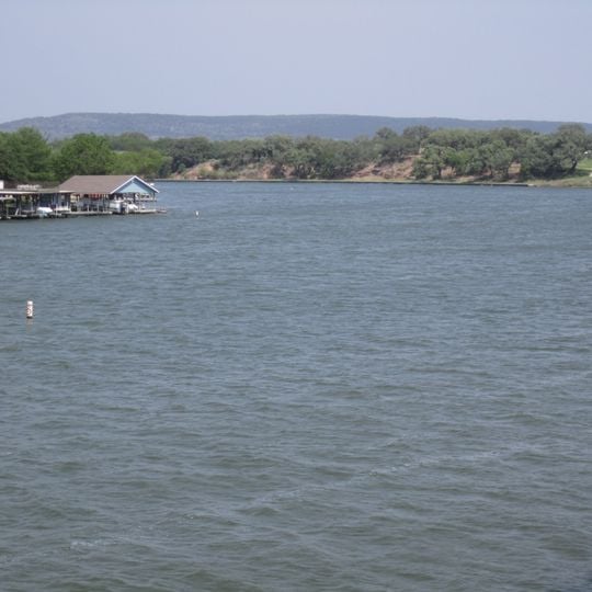
Lake Lyndon B. Johnson

Log in to your account

Start exploring — it's free

Trusted by 86,746 travelers worldwide

Continue with Google
Continue with Apple
or

We will send you a code to connect

By continuing, you accept our Terms and Conditions and our Privacy Policy

Check your inbox

We've sent a pincode in your inbox. Please enter the code below.

Lake Lyndon B. Johnson
Discussion Reviews 1 Photos
15.2k Popularity

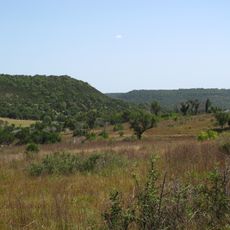
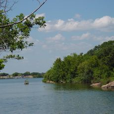
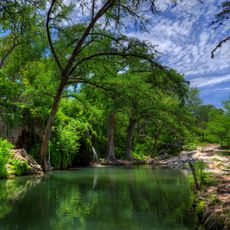
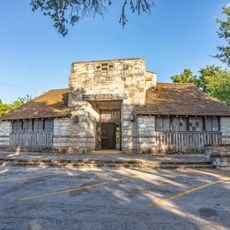
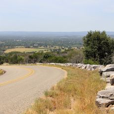
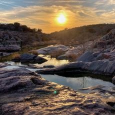
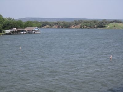
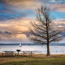
Lake Lyndon B. Johnson, Constant-level reservoir in Texas Hill Country, United States.

Lake Lyndon B. Johnson is a reservoir in the Texas Hill Country that spans roughly 6,449 acres with water depths reaching about 90 feet. It sits on the Colorado River and connects with the Llano River near the town of Kingsland.

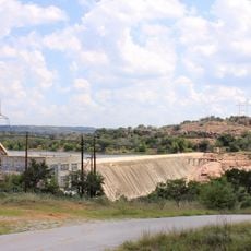
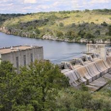
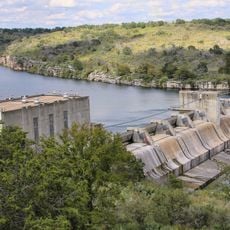
Granite Shoals Dam was built in 1950 by the Lower Colorado River Authority to create this reservoir. The waterway received its current name in 1965 as a tribute to President Lyndon B. Johnson.

The lake forms part of the Texas Highland Lakes fishing region, where anglers pursue freshwater species like largemouth and white bass throughout the year. Fishing traditions remain woven into local recreational life, with people gathering along shorelines for both sport and relaxation.

Visitors can reach the shoreline through private properties, marinas, and rental facilities that provide boats and water equipment. It is best to check ahead about available access points and public landing areas, as many waterfront sections remain privately owned.

This reservoir operates as a pass-through system where all incoming water must flow out through Wirtz Dam and cannot accumulate. This design makes it one of the few reservoirs in Texas that maintains constant water levels without building up reserves.

The community of curious travelers

AroundUs brings together thousands of curated places, local tips, and hidden gems, enriched daily by 60,000 contributors worldwide.
Start exploring
Location
Inception
1950
Part of
Texas Highland Lakes
GPS coordinates
30.55720,-98.34806
Latest update
September 13, 2026 14:28
Around this place
Lake Buchanan
United States of America

Lake Buchanan

14.1 mi
Longhorn Cavern State Park
United States of America

Longhorn Cavern State Park

8.8 mi
Balcones Canyonlands National Wildlife Refuge
United States of America

Balcones Canyonlands National Wildlife Refuge

17.3 mi
Inks Lake State Park
United States of America

Inks Lake State Park

12.1 mi
Inks Lake
United States of America

Inks Lake

12.2 mi
Krause Springs
United States of America

Krause Springs

13.2 mi
Inks Dam
United States of America

Inks Dam

12.2 mi
Max Starcke Dam
United States of America

Max Starcke Dam

5.4 mi
Wirtz Dam
United States of America

Wirtz Dam

0.6 mi
Fort Croghan
United States of America

Fort Croghan

15.3 mi
Badu Building
United States of America

Badu Building

23.9 mi
Burnet County Courthouse
United States of America

Burnet County Courthouse

15.6 mi
Austin and Northwestern Railroad Historic District-Fairland to Llano
United States of America

Austin and Northwestern Railroad Historic District-Fairland to Llano

8.9 mi
Longhorn Cavern Administration Building
United States of America

Longhorn Cavern Administration Building

8.8 mi
Park Road 4 Historic District
United States of America

Park Road 4 Historic District

10.1 mi
Devils Waterhole
United States of America

Devils Waterhole

13.2 mi
Uptown Marble Theater
United States of America

Uptown Marble Theater

4.3 mi
United States of America

Llano Visitor Center

23.7 mi
Acme Dry Goods Building
United States of America

Acme Dry Goods Building

23.7 mi
Lake Marble Falls
United States of America

Lake Marble Falls

5.5 mi
United States of America

Dead Man's Hole

5.3 mi
United States of America

Dino Falls Roller Coaster of Fun & Picnic Area

13.2 mi
United States of America

Scenic viewpoint

7.4 mi
United States of America

1000ft overlook of Inks Lake

12 mi
United States of America

A-7 Corsair II, 72-0188

14.3 mi
United States of America

F-100F Super Sabre, 56-3990

14.3 mi
United States of America

T-37B "Tweety Bird", 59-0303

14.3 mi
United States of America

T-38B Talon, 60-5094

14.3 mi
Show the full map
Reviews
Share your experience

No review yet

Discussions
Start a discussion...

No discussion yet

« Lake Lyndon B. Johnson - Constant-level reservoir in Texas Hill Country, United States » is provided by Around Us (aroundus.com). Images and texts are derived from Wikimedia project under a Creative Commons license. You are allowed to copy, distribute, and modify copies of this page, under the conditions set by the license, as long as this note is clearly visible.

Discover hidden gems everywhere you go!

From secret cafés to breathtaking viewpoints, skip the crowded tourist spots and find places that match your style. Our app makes it easy with voice search, smart filtering, route optimization, and insider tips from travelers worldwide. Download now for the complete mobile experience.

Around Us App Screenshot

A unique approach to discovering new places

Le Figaro

All the places worth exploring

France Info

A tailor-made excursion in just a few clicks

20 Minutes

Around Us
Travel Guide & Maps
Download

Send to your phone

QR Code
1

Open the camera app on your mobile.

2

Point at the QR code with your camera. A notification will appear.

3

Tap the notification to open the link.