Chest opened
+${chestReward.xp} XP
Explorer
NOUVEAU ×${chestReward.collectible.quantity}
tapez pour fermer
Chest locked

Open chests in the app

Around Us is built for your phone — chests unlock when you walk, explore and capture nearby places.

Enable Location

We need your location to show you interesting places around you

Discover nearby places

Find interesting locations and hidden gems around you

Precise directions

Get accurate directions and distances to places

Your location is never shared with other users. It's only used when you tap the location button.

Cullowhee

Log in to your account

Start exploring — it's free

Trusted by 72,890 travelers worldwide

Continue with Google
Continue with Apple
or

We will send you a code to connect

By continuing, you accept our Terms and Conditions and our Privacy Policy

Check your inbox

We've sent a pincode in your inbox. Please enter the code below.

Discussion Reviews 1 Photos
38.8k Popularity

Cullowhee, Census-designated place in Jackson County, North Carolina, United States.

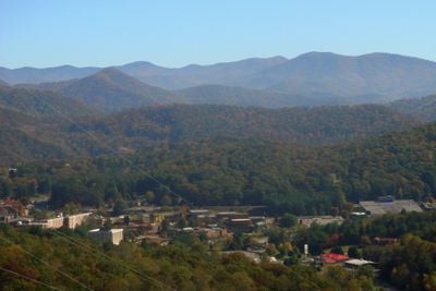
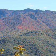
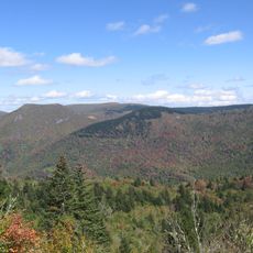
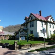
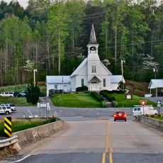
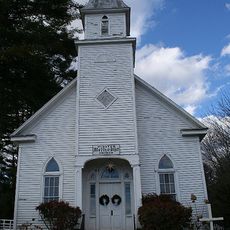
Cullowhee is a community in the western mountains of North Carolina, situated along the Tuckasegee River at roughly 645 meters elevation. The valley sits surrounded by forests and serves as home to a major university campus.

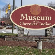
The name comes from the Cherokee language and references a legendary figure from local tradition. The region has deep roots in Cherokee settlement history long before European colonization arrived.

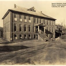
Western Carolina University brings students to the area, shaping local social life and the kinds of events that happen in and around the community.

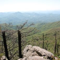
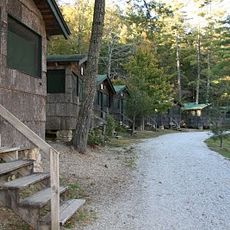
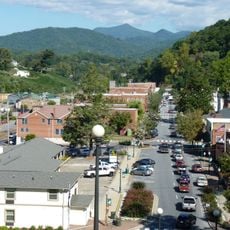
Highway 107 connects the area to nearby towns and provides access to regional services and facilities. The surroundings offer typical mountain conditions with forest trails and riverside paths for exploring.

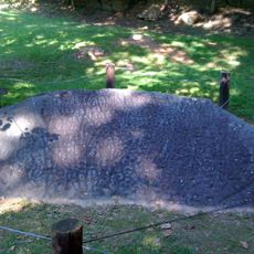
A large painted stone with Cherokee patterns sits nearby and displays ancient artistic work from the region. This rock art site is among the significant archaeological finds in this mountain landscape.

The community of curious travelers

AroundUs brings together thousands of curated places, local tips, and hidden gems, enriched daily by 60,000 contributors worldwide.

Start exploring
Location
Elevation above the sea
645 m
GPS coordinates
35.30970,-83.18360
Latest update
December 17, 2025 09:27
Around this place
Waterrock Knob
United States of America

Waterrock Knob

17.7 km
Cullasaja Falls
United States of America

Cullasaja Falls

22.9 km
Richland Balsam
United States of America

Richland Balsam

18.7 km
Nikwasi
United States of America

Nikwasi

21.8 km
Museum of the Cherokee Indian
United States of America

Museum of the Cherokee Indian

22.9 km
Camp Merrie-Woode
United States of America

Camp Merrie-Woode

23.4 km
Ramsey Center
United States of America

Ramsey Center

667 m
Balsam Mountain Inn
United States of America

Balsam Mountain Inn

15.6 km
The Jarrett House
United States of America

The Jarrett House

9.1 km
Middle Prong Wilderness
United States of America

Middle Prong Wilderness

22.6 km
Jackson County Courthouse
United States of America

Jackson County Courthouse

8.2 km
E. M. Backus Lodge
United States of America

E. M. Backus Lodge

23.7 km
Dr. D. D. Hooper House
United States of America

Dr. D. D. Hooper House

8.1 km
Joyner Building
United States of America

Joyner Building

552 m
Downtown Sylva Historic District
United States of America

Downtown Sylva Historic District

8 km
Abel Hyatt House
United States of America

Abel Hyatt House

24 km
Webster Baptist Church
United States of America

Webster Baptist Church

5.1 km
Webster United Methodist Church
United States of America

Webster United Methodist Church

5.2 km
Elias Brendle Monteith House and Outbuildings
United States of America

Elias Brendle Monteith House and Outbuildings

9 km
Saint Agnes Episcopal Church
United States of America

Saint Agnes Episcopal Church

22.9 km
Webster Rock School
United States of America

Webster Rock School

5.3 km
Franklin Presbyterian Church
United States of America

Franklin Presbyterian Church

23.1 km
Lucius Coleman Hall House
United States of America

Lucius Coleman Hall House

5.6 km
Albert Swain Bryson House
United States of America

Albert Swain Bryson House

22.4 km
Jesse R. Siler House
United States of America

Jesse R. Siler House

23.4 km
Elisha Calor Hedden House
United States of America

Elisha Calor Hedden House

5.2 km
Oconaluftee Indian Village
United States of America

Oconaluftee Indian Village

23.4 km
Judaculla Rock
United States of America

Judaculla Rock

6.8 km
Show the full map
Reviews
Share your experience

No review yet

Discussions
Start a discussion...

No discussion yet

« Cullowhee - Census-designated place in Jackson County, North Carolina, United States » is provided by Around Us (aroundus.com). Images and texts are derived from Wikimedia project under a Creative Commons license. You are allowed to copy, distribute, and modify copies of this page, under the conditions set by the license, as long as this note is clearly visible.

Discover hidden gems everywhere you go!

From secret cafés to breathtaking viewpoints, skip the crowded tourist spots and find places that match your style. Our app makes it easy with voice search, smart filtering, route optimization, and insider tips from travelers worldwide. Download now for the complete mobile experience.

Around Us App Screenshot

A unique approach to discovering new places

Le Figaro

All the places worth exploring

France Info

A tailor-made excursion in just a few clicks

20 Minutes

Around Us
Travel Guide & Maps
Download

Send to your phone

QR Code
1

Open the camera app on your mobile.

2

Point at the QR code with your camera. A notification will appear.

3

Tap the notification to open the link.