
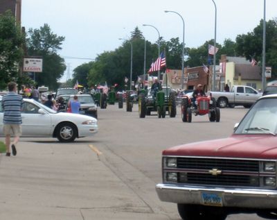
Washburn, city in North Dakota
Location: McLean County
Inception: 1882
Elevation above the sea: 535 m
Website: http://www.washburnnd.com
Website: http://washburnnd.com
GPS coordinates: 47.29139,-101.02778
Latest update: May 12, 2025 01:22

Hell Creek Formation
56.4 km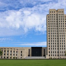
North Dakota State Capitol
55.6 km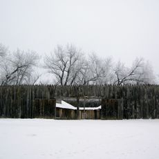
Fort Mandan
19.5 km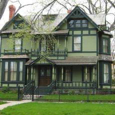
North Dakota Governor's Residence
55.9 km
North Dakota Heritage Center
55.8 km
Bismarck North Dakota Temple
52.9 km
Audubon National Wildlife Refuge
35.1 km
Fort Clark Trading Post State Historic Site
19.2 km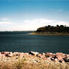
Lake Sakakawea State Park
41.1 km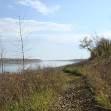
Cross Ranch State Park
8.9 km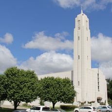
Cathedral of the Holy Spirit
56.4 km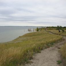
Fort Stevenson State Park
44.5 km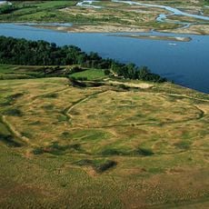
Double Ditch
40.7 km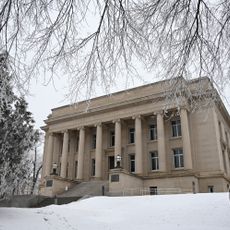
Liberty Memorial Building
55.8 km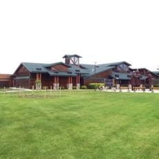
North Dakota Lewis and Clark Interpretive Center
1.5 km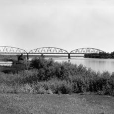
Liberty Memorial Bridge
54.7 km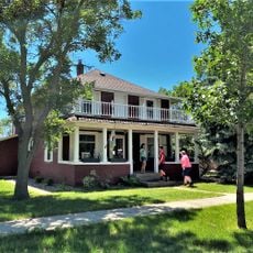
Fred Krause House
45.4 km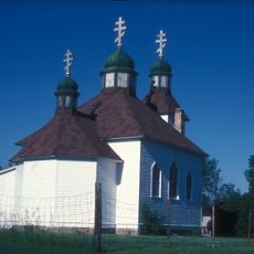
Holy Trinity Ukrainian Greek Orthodox Church
23.2 km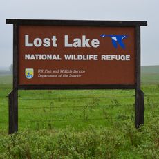
Lost Lake National Wildlife Refuge
10.2 km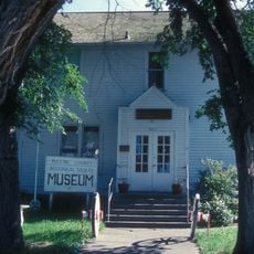
Former McLean County Courthouse
204 m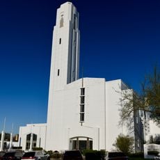
Bismarck Cathedral Area Historic District
56.3 km
Chief Looking's Village site
53.5 km
Sheridan County Courthouse
49.2 km
Ingersoll School
18.2 km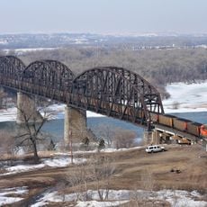
Missouri River High Bridge
54.8 km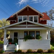
Fred and Gladys Grady House
56.1 km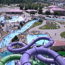
Raging Rivers
56.5 km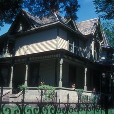
Towne–Williams House
56.5 kmReviews
Visited this place? Tap the stars to rate it and share your experience / photos with the community! Try now! You can cancel it anytime.
Discover hidden gems everywhere you go!
From secret cafés to breathtaking viewpoints, skip the crowded tourist spots and find places that match your style. Our app makes it easy with voice search, smart filtering, route optimization, and insider tips from travelers worldwide. Download now for the complete mobile experience.

A unique approach to discovering new places❞
— Le Figaro
All the places worth exploring❞
— France Info
A tailor-made excursion in just a few clicks❞
— 20 Minutes