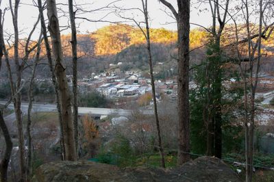
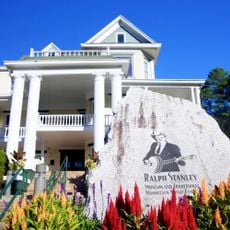
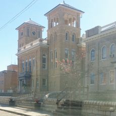
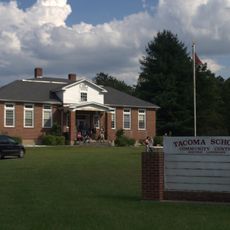
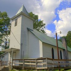
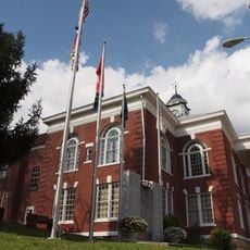
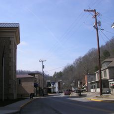
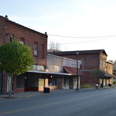
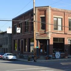
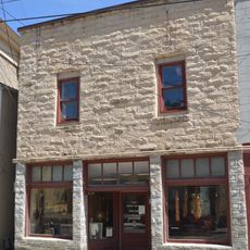
Whitesburg, city in Letcher County, Kentucky, United States of America
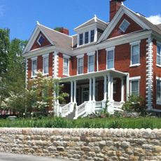
Whitesburg is a small city in the Appalachian Mountains of Kentucky featuring a mix of historic architecture and contemporary art projects. The place has local shops, cafes, and restaurants that sell handmade Appalachian crafts and serve regional dishes like stacked sandwiches and barbecue.
The place has deep roots in coal mining, which shaped community life for generations. Economic changes in recent decades led to new directions focused on art, music, and environmental protection.
The town is known for its vibrant arts and music scene. Appalshop, a cultural hub since 1969, hosts radio broadcasts, theater performances, and live music events ranging from country to punk, bringing together local artists and regional voices.
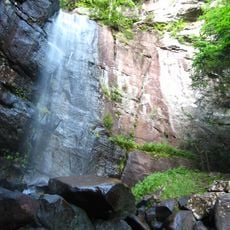
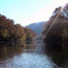
The place is surrounded by hiking trails, fishing spots, and ATV routes that attract outdoor enthusiasts. Visitors should expect variable mountain weather and bring sturdy shoes if planning to enjoy the numerous outdoor activities in the area.
The town has a family-owned business called Kentucky Mist Distillery that makes moonshine using traditional recipes and methods, offering visitors insight into this longstanding craft tradition. Another distinctive spot is Summit City Lounge, which hosts drag shows and live performances at night, reflecting the open and creative nature of the community.
The community of curious travelers
AroundUs brings together thousands of curated places, local tips, and hidden gems, enriched daily by 60,000 contributors worldwide.