Chest opened
+${chestReward.xp} XP
Explorer
NOUVEAU ×${chestReward.collectible.quantity}
tapez pour fermer
Chest locked

Open chests in the app

Around Us is built for your phone — chests unlock when you walk, explore and capture nearby places.

Enable Location

We need your location to show you interesting places around you

Discover nearby places

Find interesting locations and hidden gems around you

Precise directions

Get accurate directions and distances to places

Your location is never shared with other users. It's only used when you tap the location button.

Log in to your account

Start exploring — it's free

Trusted by 72,887 travelers worldwide

Continue with Google
Continue with Apple
or

We will send you a code to connect

By continuing, you accept our Terms and Conditions and our Privacy Policy

Check your inbox

We've sent a pincode in your inbox. Please enter the code below.

Discussion Reviews Photo
12.4k Popularity

Kyle, Census-designated place in Oglala Lakota County, South Dakota

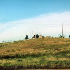
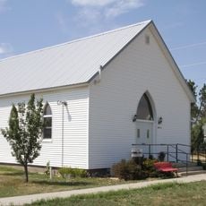
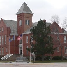
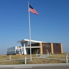
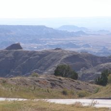
Kyle is a settlement within Oglala Lakota County on the Pine Ridge Indian Reservation in southwestern South Dakota. The community sits at about 887 meters in elevation and functions as a service center with schools, shops, and administrative facilities.

Kyle was established as a census-designated place through federal efforts to document population data across Indian territory. These administrative structures developed as part of long-standing U.S. policies for managing and monitoring reservation lands.

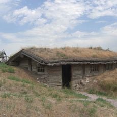
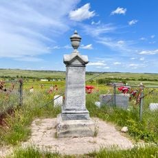
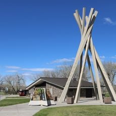
The settlement serves as a gathering point for the Oglala Lakota Nation, where traditional ways remain woven into everyday community life. Visitors can observe how indigenous practices shape the rhythm of daily activities and interactions.

The location is accessible by local roads and offers basic services needed by residents and visitors alike. It helps to prepare for distances between facilities, as the infrastructure is designed for a small community's needs.

The settlement operates without formal municipal boundaries despite being officially recognized as an administrative point serving a predominantly Native population. This structure shows how communities on reservation lands are organized in ways that differ from typical towns.

The community of curious travelers

AroundUs brings together thousands of curated places, local tips, and hidden gems, enriched daily by 60,000 contributors worldwide.

Start exploring
Elevation above the sea
887 m
GPS coordinates
43.42667,-102.17556
Latest update
December 7, 2025 20:45
Around this place
Wall Drug
United States of America

Wall Drug

63.3 km
Minuteman Missile National Historic Site
United States of America

Minuteman Missile National Historic Site

56.2 km
Wounded Knee National Historic Landmark
United States of America

Wounded Knee National Historic Landmark

35.2 km
Bordeaux Trading Post
United States of America

Bordeaux Trading Post

90.6 km
Camp Sheridan
United States of America

Camp Sheridan

78.9 km
Lacreek National Wildlife Refuge
United States of America

Lacreek National Wildlife Refuge

60.1 km
Badlands Observatory
United States of America

Badlands Observatory

62.9 km
Prairie Homestead
United States of America

Prairie Homestead

47 km
Wasta Rest Stop Tipis
United States of America

Wasta Rest Stop Tipis

74 km
Hermosa Masonic Lodge
United States of America

Hermosa Masonic Lodge

94 km
Plains Theatre
United States of America

Plains Theatre

82.2 km
Inland Theater
United States of America

Inland Theater

45.3 km
Mt. Moriah Masonic Lodge No. 155
United States of America

Mt. Moriah Masonic Lodge No. 155

70.4 km
Quinn Methodist Church
United States of America

Quinn Methodist Church

62.7 km
Sheridan County Courthouse
United States of America

Sheridan County Courthouse

82.2 km
Miller Hall
United States of America

Miller Hall

91.7 km
Lee and Gottliebe Fritz House
United States of America

Lee and Gottliebe Fritz House

69.3 km
Wounded Knee cemetery
United States of America

Wounded Knee cemetery

35.1 km
Museum of the Fur Trade
United States of America

Museum of the Fur Trade

90.8 km
Ben Reifel Visitor Center
United States of America

Ben Reifel Visitor Center

40.5 km
Wasta Rest Stop Tip–Eastbound
United States of America

Wasta Rest Stop Tip–Eastbound

74 km
Minuteman Missile National Historic Site Visitor Center
United States of America

Minuteman Missile National Historic Site Visitor Center

51.5 km
Wasta Rest Stop Tipi–Westbound
United States of America

Wasta Rest Stop Tipi–Westbound

74 km
Cedar Pass Campground
United States of America

Cedar Pass Campground

39.7 km
Sage Creek Campground
United States of America

Sage Creek Campground

55.5 km
Ancient Hunters Overlook
United States of America

Ancient Hunters Overlook

49.1 km
Yellow Mounds Overlook
United States of America

Yellow Mounds Overlook

46.4 km
Saddle Pass Trailhead
United States of America

Saddle Pass Trailhead

40.3 km
Show the full map
Reviews
Share your experience

No review yet

Discussions
Start a discussion...

No discussion yet

« Kyle - Census-designated place in Oglala Lakota County, South Dakota » is provided by Around Us (aroundus.com). Images and texts are derived from Wikimedia project under a Creative Commons license. You are allowed to copy, distribute, and modify copies of this page, under the conditions set by the license, as long as this note is clearly visible.

Discover hidden gems everywhere you go!

From secret cafés to breathtaking viewpoints, skip the crowded tourist spots and find places that match your style. Our app makes it easy with voice search, smart filtering, route optimization, and insider tips from travelers worldwide. Download now for the complete mobile experience.

Around Us App Screenshot

A unique approach to discovering new places

Le Figaro

All the places worth exploring

France Info

A tailor-made excursion in just a few clicks

20 Minutes

Around Us
Travel Guide & Maps
Download

Send to your phone

QR Code
1

Open the camera app on your mobile.

2

Point at the QR code with your camera. A notification will appear.

3

Tap the notification to open the link.