
Campton, county seat in Kentucky
Location: Wolfe County
Inception: 1870
Elevation above the sea: 293 m
GPS coordinates: 37.73470,-83.54830
Latest update: March 2, 2025 20:07

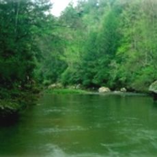
Red River Gorge
12.2 kmEastern Kentucky Coal Field region
41 km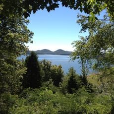
Cave Run Lake
38.9 kmPilot Knob State Nature Preserve
39.3 km
Furnace Mountain
26.1 km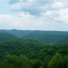
Robinson Forest
46.1 km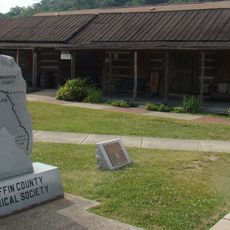
Magoffin County Pioneer Village and Museum
42.3 km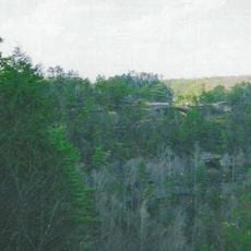
Clifty Wilderness
10.6 km
Confederate Monument of Mt. Sterling
49.2 km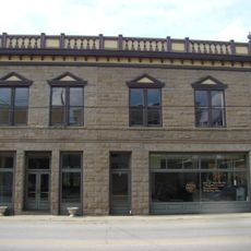
Salyersville National Bank
42.2 km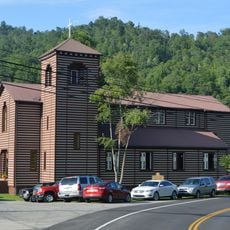
Buckhorn Presbyterian Church and the Greer Gymnasium
43.5 km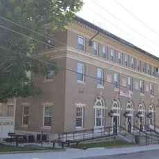
Jackson Post Office
24.7 km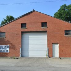
Ravenna Motor Vehicle Service Building
36 km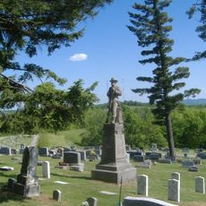
Confederate Monument in Owingsville
49 km
St. Thomas Episcopal Church
22.8 km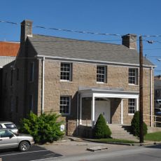
Breathitt County Jail
24.9 km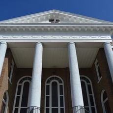
M.E. Church, South
24.9 km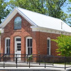
William L. Hurst Law Office
46 m
St. Therese Catholic Church
25.7 km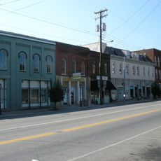
Irvine Historic Business District
37.8 km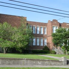
Irvine Grade School
37.2 km
Judge John E. Cooper House
33 km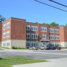
Beattyville Grade School
22.7 km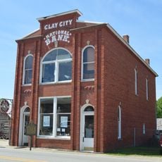
Clay City National Bank Building
35.7 km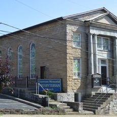
Jackson Commercial District
24.8 km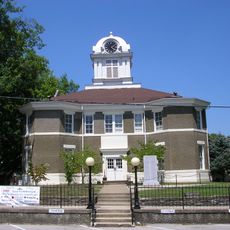
Morgan County Courthouse
33 km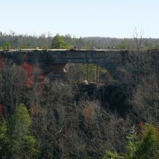
Natural Bridge State Resort Park
13.6 km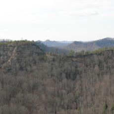
Double Arch
16.5 kmVisited this place? Tap the stars to rate it and share your experience / photos with the community! Try now! You can cancel it anytime.
Discover hidden gems everywhere you go!
From secret cafés to breathtaking viewpoints, skip the crowded tourist spots and find places that match your style. Our app makes it easy with voice search, smart filtering, route optimization, and insider tips from travelers worldwide. Download now for the complete mobile experience.

A unique approach to discovering new places❞
— Le Figaro
All the places worth exploring❞
— France Info
A tailor-made excursion in just a few clicks❞
— 20 Minutes