Enable Location

We need your location to show you interesting places around you

Discover nearby places

Find interesting locations and hidden gems around you

Precise directions

Get accurate directions and distances to places

Your location is never shared with other users. It's only used when you tap the location button.

Elmhurst

Log in to your account

Start exploring — it's free

Trusted by 61,865 travelers worldwide

Continue with Google
Continue with Apple
or

We will send you a code to connect

By continuing, you accept our Terms and Conditions and our Privacy Policy

Check your inbox

We've sent a pincode in your inbox. Please enter the code below.

Elmhurst

Elmhurst, Residential district in Queens, United States

Description

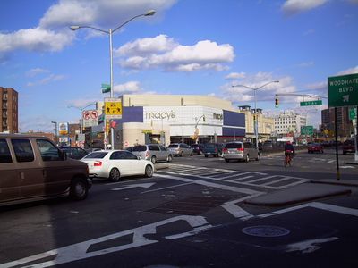
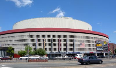
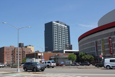
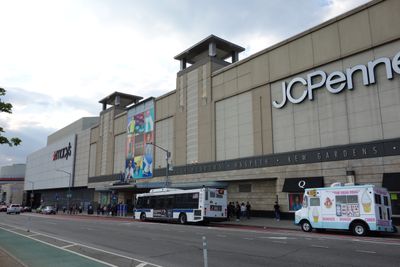
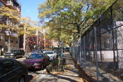
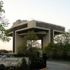
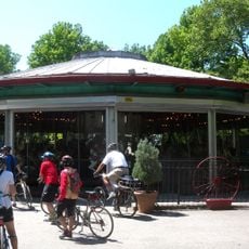
Elmhurst is a residential district in Queens, New York, that stretches over a large rectangle bounded by Grand Avenue, the Long Island Expressway, Woodhaven Boulevard, and the Long Island Rail Road tracks. The main artery is Queens Boulevard, which runs east to west and is surrounded by numerous cross streets lined with small retail outlets, restaurants, and mid-rise apartment blocks.

History

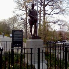
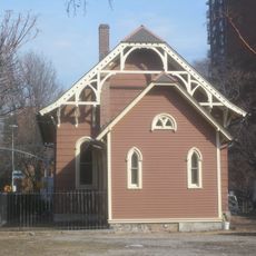
Puritan settlers from Massachusetts founded this place in 1652 under the name Middleburgh, making it one of the earliest permanent settlements in Queens. In the years after World War II, the population structure changed fundamentally as many earlier residents moved away and immigrants from Latin America, Asia, and Europe arrived.

Culture

The area divides into several smaller quarters, including Broadway-Flushing near the rail lines and Elmhurst East, where Asian restaurants and shops concentrate. In the streets north of Queens Boulevard, bilingual signs and small shops serving different immigrant groups stand out.

Practical

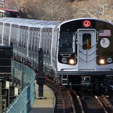
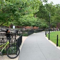
Several subway lines stop at different points and offer direct connections to downtown Manhattan in less than half an hour. Most restaurants and shops open daily, with many establishments staying accessible into the evening and seeing heavier crowds on weekends.

Did you know?

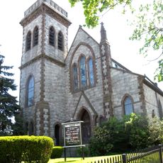
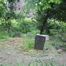
Archaeologists found burial sites near St. Mark's Church that point to a free African American community in the early 19th century. This discovery from 2011 expands the understanding of the early social history of the district beyond the founders of European origin.

Location
Inception
1652
Shares border with
Woodside, Corona
GPS coordinates
40.74291,-73.87998
Latest update
December 13, 2025 19:29

AroundUs brings together thousands of curated places, local tips, and hidden gems, enriched daily by 60,000 contributors worldwide. Discover all places nearby (Queens).

Around this place
Arthur Ashe Stadium
United States of America

Arthur Ashe Stadium

2.9 km
Flushing Meadows–Corona Park
United States of America

Flushing Meadows–Corona Park

3 km
Unisphere
United States of America

Unisphere

3 km
Westinghouse Time Capsules
United States of America

Westinghouse Time Capsules

2.9 km
Trylon and Perisphere
United States of America

Trylon and Perisphere

3 km
Queens Museum
United States of America

Queens Museum

2.8 km
Queens Zoo
United States of America

Queens Zoo

2.7 km
Newtown High School
United States of America

Newtown High School

514 m
Louis Armstrong House
United States of America

Louis Armstrong House

2 km
Terrace on the Park
United States of America

Terrace on the Park

2.5 km
Archer Avenue Lines
United States of America

Archer Avenue Lines

1.1 km
United States of America

Elmhurst Park

1.5 km
Queens Night Market
United States of America

Queens Night Market

2.5 km
Benevolent and Protective Order of Elks, Lodge Number 878
United States of America

Benevolent and Protective Order of Elks, Lodge Number 878

671 m
Flushing Meadows Carousel
United States of America

Flushing Meadows Carousel

2.6 km
Travers Park
United States of America

Travers Park

1.4 km
Doughboy Park
United States of America

Doughboy Park

2.5 km
St. James Church
United States of America

St. James Church

542 m
Congregation of Georgian Jews
United States of America

Congregation of Georgian Jews

2.5 km
St. Louis Jain temple
United States of America

St. Louis Jain temple

303 m
Congregation Tifereth Israel
United States of America

Congregation Tifereth Israel

2.3 km
Reformed Church of Newtown
United States of America

Reformed Church of Newtown

381 m
First Presbyterian Church of Newtown
United States of America

First Presbyterian Church of Newtown

841 m
Rego Park Jewish Center
United States of America

Rego Park Jewish Center

2.2 km
Moore-Jackson Cemetery
United States of America

Moore-Jackson Cemetery

2.8 km
Queens Vietnam Veterans Memorial
United States of America

Queens Vietnam Veterans Memorial

1.4 km
Louis Armstrong Middle School
United States of America

Louis Armstrong Middle School

1.8 km
Jain Center of America
United States of America

Jain Center of America

303 m
Show the full map
« Elmhurst - Residential district in Queens, United States » is provided by Around Us (aroundus.com). Images and texts are derived from Wikimedia project under a Creative Commons license. You are allowed to copy, distribute, and modify copies of this page, under the conditions set by the license, as long as this note is clearly visible.

Discover hidden gems everywhere you go!

From secret cafés to breathtaking viewpoints, skip the crowded tourist spots and find places that match your style. Our app makes it easy with voice search, smart filtering, route optimization, and insider tips from travelers worldwide. Download now for the complete mobile experience.

Around Us App Screenshot

A unique approach to discovering new places

Le Figaro

All the places worth exploring

France Info

A tailor-made excursion in just a few clicks

20 Minutes

Around Us
Travel Guide & Maps
Download

Send to your phone

QR Code
1

Open the camera app on your mobile.

2

Point at the QR code with your camera. A notification will appear.

3

Tap the notification to open the link.