Abington Township

Log in to your account

AroundUs is a community-driven map of interesting places, built by curious explorers like you. It grows with every review, story, and photo you share.
Connect to save your favorite spots, contribute locations, and create personalized routes.
By continuing, you accept our Terms and Conditions and our Privacy Policy
Add to collection
Map
Suggest a change
Share

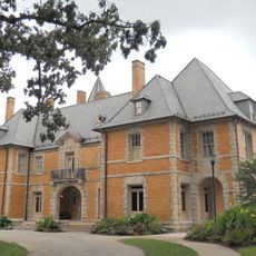
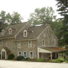
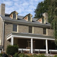
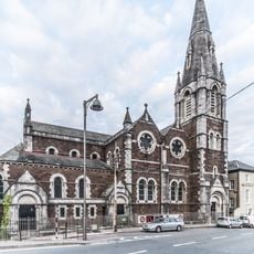
Abington Township, Suburban township in Montgomery County, Pennsylvania, United States

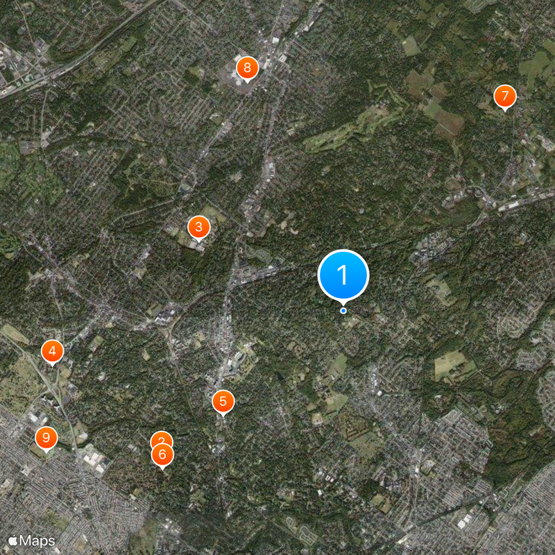
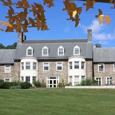
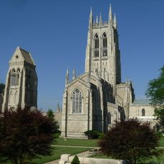
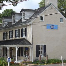
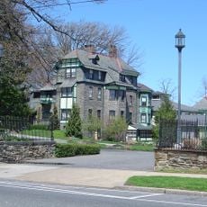
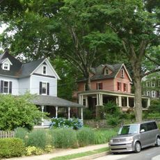
Abington Township is an administrative unit in Montgomery County in southeastern Pennsylvania, covering a mix of residential streets, shopping areas, and open spaces. The township sits just northeast of Philadelphia and is made up of several named communities with their own post offices, including Roslyn and Glenside.

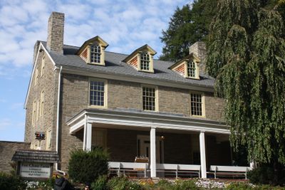
The area was acquired from the Lenape people through agreements negotiated by William Penn in the 1680s and developed into a farming settlement in the early 18th century. The township grew rapidly after World War II as commuters from Philadelphia moved into the surrounding suburbs.

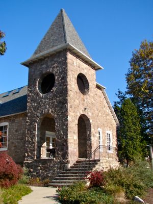
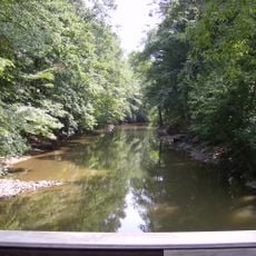
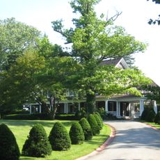
The township maintains multiple public parks, including Alverthorpe Park, where residents participate in recreational activities and community gatherings throughout the year.

Visitors can reach the township via several major roads running north from Philadelphia and explore tree-lined neighborhoods and local shops. Public green spaces are scattered throughout the area and are generally open during daylight hours.

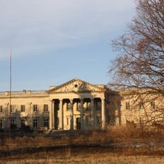
A 1963 legal case that began at the local school led to a nationwide change in the rules about religious readings in public classrooms. The Supreme Court ruling ended the practice of daily Bible readings that had been common in many American schools until then.

Location: Montgomery County

Elevation above the sea: 86 m

Shares border with: Philadelphia, Lower Moreland Township, Upper Moreland Township, Upper Dublin Township, Springfield Township, Cheltenham Township, Jenkintown, Rockledge

Website: http://abington.org

GPS coordinates: 40.10000,-75.09972

Latest update: December 13, 2025 18:23

Photos
Around this place
Lynnewood Hall
United States of America

Lynnewood Hall

4.4 km
Abington Senior High School
United States of America

Abington Senior High School

3.1 km
Grey Towers Castle
United States of America

Grey Towers Castle

5.6 km
Beth Sholom Congregation
United States of America

Beth Sholom Congregation

3 km
Elkins Estate
United States of America

Elkins Estate

4.6 km
Bryn Athyn Cathedral
United States of America

Bryn Athyn Cathedral

4.9 km
Willow Grove Park
United States of America

Willow Grove Park

4.7 km
Temple Stadium
United States of America

Temple Stadium

6.3 km
Glencairn Museum
United States of America

Glencairn Museum

5.1 km
Keswick Theater
United States of America

Keswick Theater

4.1 km
Cairnwood
United States of America

Cairnwood

5.4 km
Richard Wall House
United States of America

Richard Wall House

3.5 km
Henry West Breyer Sr. House
United States of America

Henry West Breyer Sr. House

3.2 km
Fox Chase Farm
United States of America

Fox Chase Farm

2.3 km
Strawbridge and Clothier Store
United States of America

Strawbridge and Clothier Store

2.2 km
Abington Art Center
United States of America

Abington Art Center

1.7 km
Lorimer Park
United States of America

Lorimer Park

2.3 km
Glenside Memorial Hall
United States of America

Glenside Memorial Hall

4.5 km
Bryn Athyn Historic District
United States of America

Bryn Athyn Historic District

4.9 km
St Luke's Church, Summerhill North
Ireland

St Luke's Church, Summerhill North

4.5 km
Milmoral
United States of America

Milmoral

4.4 km
Fetter's Mill
United States of America

Fetter's Mill

4.1 km
Fetter's Mill Village Historic District
United States of America

Fetter's Mill Village Historic District

4.3 km
Lady Washington Inn
United States of America

Lady Washington Inn

4.1 km
Knowlton Mansion
United States of America

Knowlton Mansion

3.7 km
Rockledge Model Railroad Museum presented by Gatsme Model RR Club
United States of America

Rockledge Model Railroad Museum presented by Gatsme Model RR Club

2.1 km
Wyncote Historic District
United States of America

Wyncote Historic District

3.8 km
Jenkins' Town Lyceum Building
United States of America

Jenkins' Town Lyceum Building

2.2 km
Show the full map
Reviews

Visited this place? Tap the stars to rate it and share your experience / photos with the community! Try now! You can cancel it anytime.

« Abington Township - Suburban township in Montgomery County, Pennsylvania, United States » is provided by Around Us (aroundus.com). Images and texts are derived from Wikimedia project under a Creative Commons license. You are allowed to copy, distribute, and modify copies of this page, under the conditions set by the license, as long as this note is clearly visible.

Discover hidden gems everywhere you go!

From secret cafés to breathtaking viewpoints, skip the crowded tourist spots and find places that match your style. Our app makes it easy with voice search, smart filtering, route optimization, and insider tips from travelers worldwide. Download now for the complete mobile experience.

Around Us App Screenshot

A unique approach to discovering new places

Le Figaro

All the places worth exploring

France Info

A tailor-made excursion in just a few clicks

20 Minutes