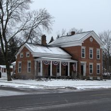
Milford, village in Michigan
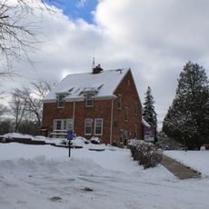
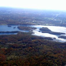
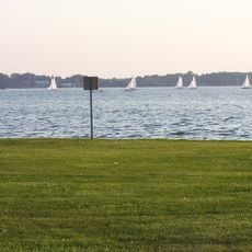
Milford is a small village in Oakland County, Michigan, located along the Huron River. The downtown area features local shops, restaurants, and parks, with Central Park serving as a focal point near Mill Pond where visitors can walk, sit outdoors, and observe the community.
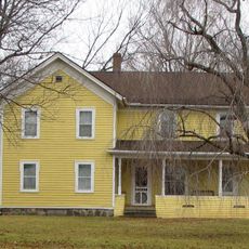
Elizur and Stanley Ruggles built the first sawmill in 1831, using the river's water power to process wood for the growing settlement. The village was officially incorporated in 1869 after becoming a township in 1832, establishing itself as a commercial center for the surrounding agricultural area.
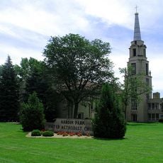
The village takes its name from the mill that once operated along the river and shaped early settlement. Today residents and visitors gather in the downtown area to shop, dine, and attend community events, keeping the town functioning as a social hub for the surrounding area.
The village is easily accessible by car with convenient parking and walkable streets for exploring on foot. Downtown is concentrated in a compact area, making it straightforward to visit shops, parks, and restaurants in a single outing.
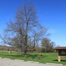
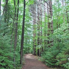
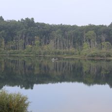
The village features six parks and green spaces, including a trail that runs from Hubbell Pond Park all the way to Kensington Park. These outdoor areas allow visitors to connect with nature while walking, biking, or watching waterfowl along the water.
The community of curious travelers
AroundUs brings together thousands of curated places, local tips, and hidden gems, enriched daily by 60,000 contributors worldwide.