
Sunderland, town in Franklin County, Massachusetts, United States
Location: Franklin County
Inception: 1713
Elevation above the sea: 152 m
Website: http://www.townofsunderland.us/
Website: http://townofsunderland.us
GPS coordinates: 42.46667,-72.57917
Latest update: March 17, 2025 02:24

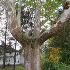
Buttonball Tree
246 m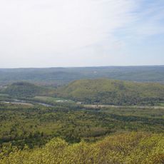
Sugarloaf Mountain
1.1 km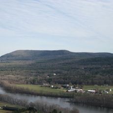
Mount Toby
4.2 km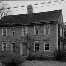
Historic Deerfield
9.2 km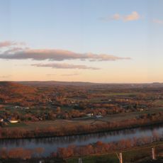
Mount Sugarloaf State Reservation
1.1 km
New England Peace Pagoda
8.1 km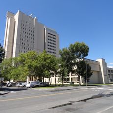
John W. Lederle Graduate Research Center
9.1 km
Sunderland Bridge
488 m
Rattlesnake Gutter
6.8 km
Ellis Drive Historical Area
9.2 km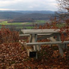
Pocumtuck Ridge Trail
6.5 km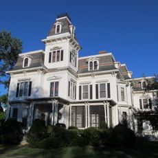
Upper Main Street Historic District
8.9 km
North Hadley Historic District
8.6 km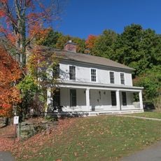
Cushman Village Historic District
8.1 km
Marston Hall
9.1 km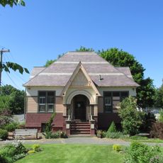
North Amherst Center Historic District
7.5 km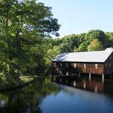
North Leverett, Massachusetts
8.5 km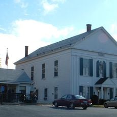
Whately Center Historic District
5.6 km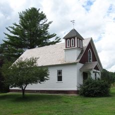
West Whately Historic District
9 km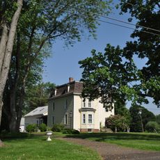
Bradstreet Historic District
6.9 km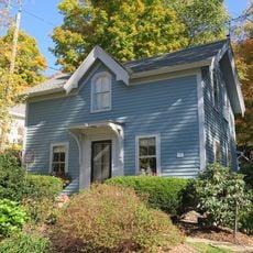
East Leverett Historic District
8.5 km
Robert Frost Trail
4.2 km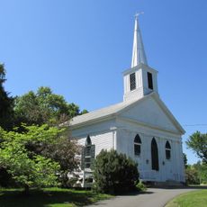
Leverett Center Historic District
6 km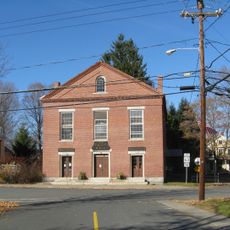
Montague Center Historic District
8.4 km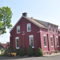
North Hatfield Historic District
7.4 km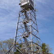
Mount Toby Fire Tower
4.2 km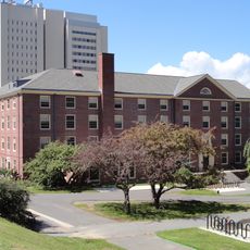
Charlotte M. Crabtree House
9.2 km
Elizabeth McNamara House
9 kmReviews
Visited this place? Tap the stars to rate it and share your experience / photos with the community! Try now! You can cancel it anytime.
Discover hidden gems everywhere you go!
From secret cafés to breathtaking viewpoints, skip the crowded tourist spots and find places that match your style. Our app makes it easy with voice search, smart filtering, route optimization, and insider tips from travelers worldwide. Download now for the complete mobile experience.

A unique approach to discovering new places❞
— Le Figaro
All the places worth exploring❞
— France Info
A tailor-made excursion in just a few clicks❞
— 20 Minutes