Woodsville

Log in to your account

AroundUs is a community-driven map of interesting places, built by curious explorers like you. It grows with every review, story, and photo you share.
Connect to save your favorite spots, contribute locations, and create personalized routes.
By continuing, you accept our Terms and Conditions and our Privacy Policy
Add to collection
Map
Suggest a change
Share

Woodsville, Census-designated place in Grafton County, New Hampshire.

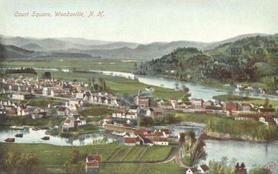
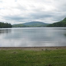
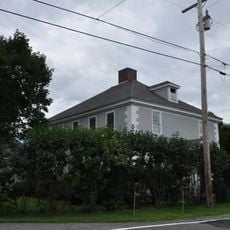
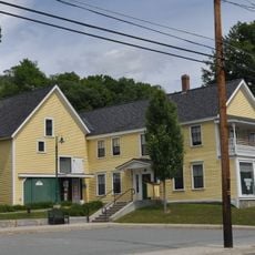
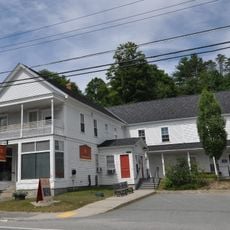
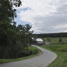
Woodsville is a small census-designated place in Grafton County, located in the Upper Valley region of northeastern New Hampshire. The community sits along the Connecticut River valley and functions as a local hub for the surrounding towns.

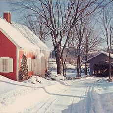
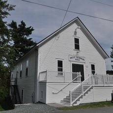
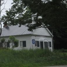
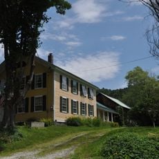
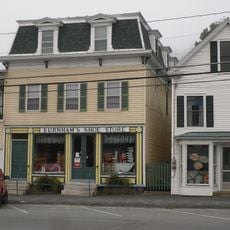
The community developed as a settlement in the Connecticut River Valley during the 1800s. It gradually became an established postal and service center for the surrounding region.

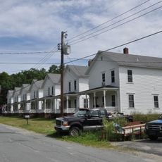
The population consists primarily of family households, with 70.1 percent of residents living in traditional family units across 472 established households.

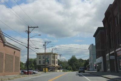
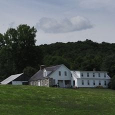
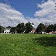
The area is best reached by car, as it lies in a rural setting with limited public transit options. The main commercial district is compact and easy to navigate on foot once you arrive.

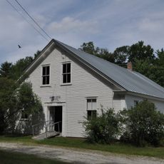
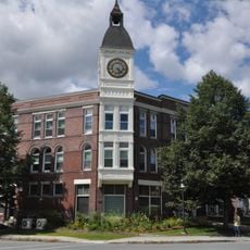
The village operates as a postal distribution hub that serves several neighboring communities beyond its own borders. This quiet logistical role keeps the place functioning as a regional connector that most visitors never notice.

Location: Grafton County

Elevation above the sea: 139 m

GPS coordinates: 44.15222,-72.03694

Latest update: December 7, 2025 09:28

Photos
Around this place
Bath Covered Bridge
United States of America

Bath Covered Bridge

5.8 km
Harvey's Lake
United States of America

Harvey's Lake

17.7 km
Wells River Bridge
United States of America

Wells River Bridge

385 m
Haverhill-Bath Covered Bridge
United States of America

Haverhill-Bath Covered Bridge

243 m
Bedell Covered Bridge
United States of America

Bedell Covered Bridge

12.3 km
Ranger Bridge
United States of America

Ranger Bridge

360 m
Swiftwater Covered Bridge
United States of America

Swiftwater Covered Bridge

7.1 km
Bedell Bridge State Park
United States of America

Bedell Bridge State Park

12.3 km
Whitehill House
United States of America

Whitehill House

16.7 km
Oxbow Historic District
United States of America

Oxbow Historic District

6.4 km
Daniel Carr House
United States of America

Daniel Carr House

5.5 km
Jeremiah Hutchins Tavern
United States of America

Jeremiah Hutchins Tavern

7.9 km
Haverhill Corner Historic District
United States of America

Haverhill Corner Historic District

13.6 km
Wildwood Hall
United States of America

Wildwood Hall

10.1 km
McIndoes Academy
United States of America

McIndoes Academy

12.7 km
Newbury Town House
United States of America

Newbury Town House

8.8 km
Alice Lord Goodine House
United States of America

Alice Lord Goodine House

14.1 km
West Newbury Village Historic District
United States of America

West Newbury Village Historic District

12.2 km
Goodall-Woods Law Office
United States of America

Goodall-Woods Law Office

7.9 km
Lind Houses
United States of America

Lind Houses

8.9 km
Woodsville Opera House
United States of America

Woodsville Opera House

131 m
J. R. Darling Store
United States of America

J. R. Darling Store

14.3 km
Bayley Historic District
United States of America

Bayley Historic District

7.4 km
South Newbury Village Historic District
United States of America

South Newbury Village Historic District

12.5 km
Barnet Center Historic District
United States of America

Barnet Center Historic District

18.2 km
Elwin Chase House
United States of America

Elwin Chase House

16.5 km
Wells River Village Historic District
United States of America

Wells River Village Historic District

888 m
Newbury Village Historic District
United States of America

Newbury Village Historic District

8.5 km
Show the full map
Reviews

Visited this place? Tap the stars to rate it and share your experience / photos with the community! Try now! You can cancel it anytime.

« Woodsville - Census-designated place in Grafton County, New Hampshire » is provided by Around Us (aroundus.com). Images and texts are derived from Wikimedia project under a Creative Commons license. You are allowed to copy, distribute, and modify copies of this page, under the conditions set by the license, as long as this note is clearly visible.

Discover hidden gems everywhere you go!

From secret cafés to breathtaking viewpoints, skip the crowded tourist spots and find places that match your style. Our app makes it easy with voice search, smart filtering, route optimization, and insider tips from travelers worldwide. Download now for the complete mobile experience.

Around Us App Screenshot

A unique approach to discovering new places

Le Figaro

All the places worth exploring

France Info

A tailor-made excursion in just a few clicks

20 Minutes