Enable Location

We need your location to show you interesting places around you

Discover nearby places

Find interesting locations and hidden gems around you

Precise directions

Get accurate directions and distances to places

Your location is never shared with other users. It's only used when you tap the location button.

Sacking of Lawrence

Log in to your account

Start exploring — it's free

Trusted by 64,586 travelers worldwide

Continue with Google
Continue with Apple
or

We will send you a code to connect

By continuing, you accept our Terms and Conditions and our Privacy Policy

Check your inbox

We've sent a pincode in your inbox. Please enter the code below.

Sacking of Lawrence
Discussion Reviews 1 Photos
42.6k Popularity

Sacking of Lawrence, Historical conflict site in Lawrence, Kansas, United States

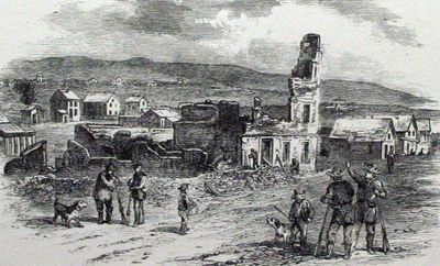
The May 21, 1856 attack on Lawrence targeted buildings and establishments connected to the Free-State movement, with about 800 pro-slavery settlers participating in the destruction. The violence focused on dismantling the infrastructure that supported those opposed to slavery in the territory.

The attack resulted from mounting tensions between pro-slavery and Free-State forces in Kansas Territory and marked a turning point in the Bleeding Kansas phase. The violence prompted an escalation of armed conflicts that shaped the territory in the years that followed.

Local newspapers served as the voice of residents opposed to slavery until their destruction during the violence. These publications shaped how people in the territory communicated their political beliefs.

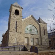
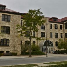
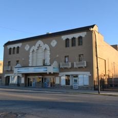
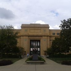
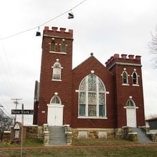
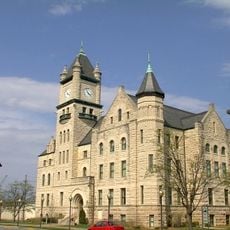
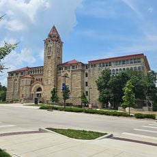
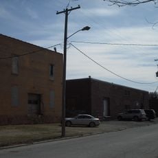
The site is accessible today through memorials and museums in Lawrence that document this event and its impact. Visitors should allow time to explore different locations and read the markers that identify where buildings were destroyed.

Despite the extensive destruction across the town, only one person died during the entire attack when falling masonry struck someone from the pro-slavery side. This unusual detail shows that the violence was targeted at property and infrastructure rather than people.

The community of curious travelers

AroundUs brings together thousands of curated places, local tips, and hidden gems, enriched daily by 60,000 contributors worldwide.

Start exploring
Location
Part of
Bleeding Kansas
GPS coordinates
38.96000,-95.25333
Latest update
December 18, 2025 11:41
Around this place
Haskell Indian Nations University
United States of America

Haskell Indian Nations University

2.9 km
David Booth Kansas Memorial Stadium
United States of America

David Booth Kansas Memorial Stadium

691 m
The Eldridge Hotel
United States of America

The Eldridge Hotel

1.9 km
University of Kansas Natural History Museum
United States of America

University of Kansas Natural History Museum

832 m
Spencer Museum of Art
United States of America

Spencer Museum of Art

760 m
Plymouth Congregational Church
United States of America

Plymouth Congregational Church

1.6 km
Clinton State Park
United States of America

Clinton State Park

10.3 km
Lawrence Public Library
United States of America

Lawrence Public Library

1.8 km
Lied Center of Kansas
United States of America

Lied Center of Kansas

1 km
Haskell-Baker Wetlands
United States of America

Haskell-Baker Wetlands

5.1 km
Bailey Hall
United States of America

Bailey Hall

672 m
U.S. 40 and 59 Bridges
United States of America

U.S. 40 and 59 Bridges

2.4 km
Granada Theater
United States of America

Granada Theater

1.6 km
Haskell Memorial Stadium
United States of America

Haskell Memorial Stadium

2.9 km
United States of America

Mount Oread Civil War posts

481 m
Spooner Hall
United States of America

Spooner Hall

605 m
Strong Hall
United States of America

Strong Hall

578 m
St. Luke African Methodist Episcopal Church
United States of America

St. Luke African Methodist Episcopal Church

2.1 km
George and Annie Bell House
United States of America

George and Annie Bell House

1.3 km
S.T. Zimmerman House
United States of America

S.T. Zimmerman House

2.9 km
Lawrence's Downtown Historic District
United States of America

Lawrence's Downtown Historic District

1.7 km
Douglas County Courthouse
United States of America

Douglas County Courthouse

1.6 km
United Presbyterian Center
United States of America

United Presbyterian Center

982 m
Natural History Museum
United States of America

Natural History Museum

843 m
Bloomington Beach
United States of America

Bloomington Beach

11.5 km
Watkins Community Museum of History
United States of America

Watkins Community Museum of History

1.5 km
Oread Historic District
United States of America

Oread Historic District

1.3 km
East Lawrence Industrial Historic District
United States of America

East Lawrence Industrial Historic District

2.3 km
Show the full map
Reviews
Share your experience

No review yet

Discussions
Start a discussion...

No discussion yet

« Sacking of Lawrence - Historical conflict site in Lawrence, Kansas, United States » is provided by Around Us (aroundus.com). Images and texts are derived from Wikimedia project under a Creative Commons license. You are allowed to copy, distribute, and modify copies of this page, under the conditions set by the license, as long as this note is clearly visible.

Discover hidden gems everywhere you go!

From secret cafés to breathtaking viewpoints, skip the crowded tourist spots and find places that match your style. Our app makes it easy with voice search, smart filtering, route optimization, and insider tips from travelers worldwide. Download now for the complete mobile experience.

Around Us App Screenshot

A unique approach to discovering new places

Le Figaro

All the places worth exploring

France Info

A tailor-made excursion in just a few clicks

20 Minutes

Around Us
Travel Guide & Maps
Download

Send to your phone

QR Code
1

Open the camera app on your mobile.

2

Point at the QR code with your camera. A notification will appear.

3

Tap the notification to open the link.