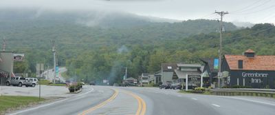
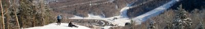
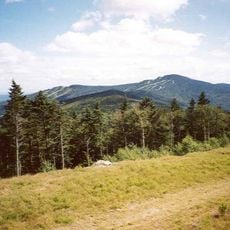
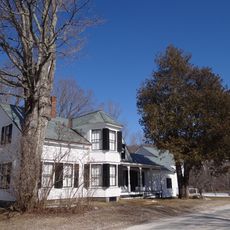
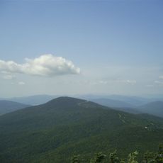
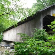
Killington, town in Rutland County, Vermont, USA
Location: Rutland County
Elevation above the sea: 561 m
Website: http://www.killingtontown.com/
Website: http://killingtontown.com
GPS coordinates: 43.66472,-72.79333
Latest update: May 27, 2025 11:33
Killington Peak
7 km
Coolidge Homestead
15.5 km
Pico Peak
4.5 km
Brown Covered Bridge
15 km
Gifford Woods State Park
1.9 km
Coolidge State Park
14.5 km
Daniel Gay House
14.8 km
Paramount Theatre
16.3 km
Silver Lake State Park
16.1 km
St. Peter's Church and Mount St. Joseph Convent Complex
17 km
Thomas H. Palmer House
17.7 km
Shrewsbury Peak
9.7 km
Linden Terrace
16.3 km
Rutland Jewish Center
16.2 km
Chaffee-Moloney Houses
17.1 km
Proctor-Clement House
16.1 km
Longfellow School
16.2 km
Watkins School
17.5 km
Cold River Bridge
17.5 km
Woodstock Warren Through Truss Bridge
17.9 km
Stockbridge Common Historic District
13.9 km
Plymouth Historic District
15.1 km
Rutland Courthouse Historic District
16 km
Saddlebow Farm
15.2 km
Arthur Perkins House
16.3 km
Bridgewater Corners Bridge
14 km
Stockbridge Four Corners Bridge
13.4 km
Wonderfeet Kid's Museum
16.4 kmReviews
Visited this place? Tap the stars to rate it and share your experience / photos with the community! Try now! You can cancel it anytime.
Discover hidden gems everywhere you go!
From secret cafés to breathtaking viewpoints, skip the crowded tourist spots and find places that match your style. Our app makes it easy with voice search, smart filtering, route optimization, and insider tips from travelers worldwide. Download now for the complete mobile experience.
A unique approach to discovering new places❞
— Le Figaro
All the places worth exploring❞
— France Info
A tailor-made excursion in just a few clicks❞
— 20 Minutes