Old Point Comfort, human settlement in United States of America
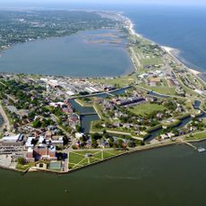
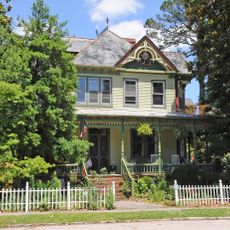
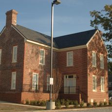
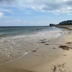
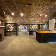
Old Point Comfort is a coastal area at the southern tip of the Virginia Peninsula where the James River meets the Chesapeake Bay. It is surrounded by water and features a flat shoreline with the remains of military installations and historic structures built over many centuries.
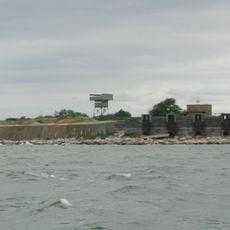
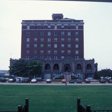
The area was first mapped by settlers in 1608 and recognized as a safe harbor for ships. Small forts including Fort Algernon were built in the early 1600s for protection and trade, while Fort Monroe was constructed starting in 1819 to become a major military stronghold for the next century and beyond.
The name came from early English settlers who discovered safe waters here in the early 1600s and called it Cape Comfort. Over centuries, the place served as a meeting point for sailors, soldiers, and travelers from many backgrounds who passed through the busy harbor.
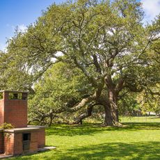
The best way to explore this area is on foot along the waterfront and through the historic grounds. Visitors should come prepared for open sun exposure and changing weather conditions, as the landscape offers limited shade in many areas.
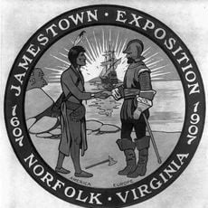
The Powhatan people lived here for generations as part of the Powhatan Paramount Chiefdom called Senacomoco long before Europeans arrived. This original connection is often overlooked despite the well-documented arrival of Africans in 1619 that marked the start of the transatlantic slave trade.
The community of curious travelers
AroundUs brings together thousands of curated places, local tips, and hidden gems, enriched daily by 60,000 contributors worldwide.