Enable Location

We need your location to show you interesting places around you

Discover nearby places

Find interesting locations and hidden gems around you

Precise directions

Get accurate directions and distances to places

Your location is never shared with other users. It's only used when you tap the location button.

Annandale-on-Hudson

Log in to your account

Start exploring — it's free

Trusted by 61,686 travelers worldwide

Continue with Google
Continue with Apple
or

We will send you a code to connect

By continuing, you accept our Terms and Conditions and our Privacy Policy

Check your inbox

We've sent a pincode in your inbox. Please enter the code below.

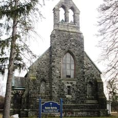
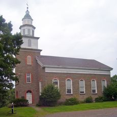
Annandale-on-Hudson, College town in Hudson Valley, United States.

Description

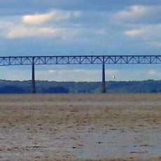
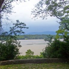
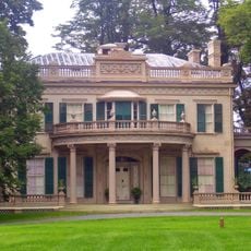
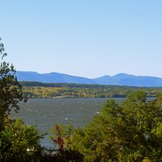
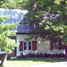
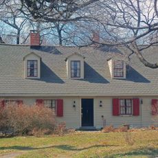
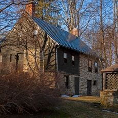
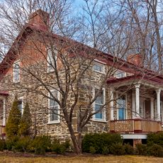
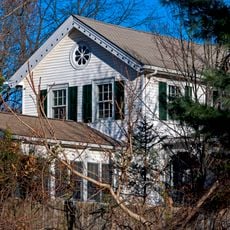
Annandale-on-Hudson sits on the eastern bank of the Hudson River in Dutchess County, where the sprawling grounds of Bard College spread across rolling terrain. The village itself remains small and contained, while the campus with its buildings, lawns, and waterfront areas shapes the entire region.

History

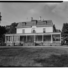
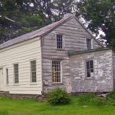
The area was taken over by Peter Schuyler in 1660 from its original inhabitants, marking the start of European settlement. Over centuries, the zone developed as an agricultural and craft area until Bard College's founding in the 1800s transformed the place's future.

Culture

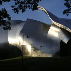
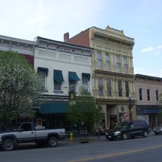
The place has grown around Bard College, which has attracted artists and thinkers here for decades and shapes life in the community. The rhythm of the academic year guides the local rhythm, and creative activity flows through the streets and meeting spaces.

Practical

The place is best reached on foot or by car, since it covers a wide area with scattered neighborhoods and spaces. Visitors should allow plenty of time to walk through different parts of the campus and village, as locations are spread out rather than concentrated.

Did you know?

The village served as the home location for Marvel Comics character Jean Grey of the X-Men, bringing it into popular culture lore. This entertainment connection has drawn the attention of fans and added an unexpected layer to local recognition.

Location
GPS coordinates
42.01280,-73.90820
Latest update
December 14, 2025 11:23

AroundUs brings together thousands of curated places, local tips, and hidden gems, enriched daily by 60,000 contributors worldwide. Discover all places nearby (Dutchess County).

Around this place
Old Rhinebeck Aerodrome
United States of America

Old Rhinebeck Aerodrome

6 km
Rokeby
United States of America

Rokeby

3.1 km
Kingston–Rhinecliff Bridge
United States of America

Kingston–Rhinecliff Bridge

5 km
Richard B. Fisher Center for the Performing Arts
United States of America

Richard B. Fisher Center for the Performing Arts

2.1 km
Clermont State Historic Site
United States of America

Clermont State Historic Site

8.2 km
Montgomery Place
United States of America

Montgomery Place

903 m
United States of America

Bard College Campus

1.1 km
Edgewater
United States of America

Edgewater

2.6 km
Saugerties Light
United States of America

Saugerties Light

6.8 km
Maizefield
United States of America

Maizefield

2.7 km
St. Christopher's Church
United States of America

St. Christopher's Church

3.3 km
Evangelical Lutheran Church of St. Peter
United States of America

Evangelical Lutheran Church of St. Peter

5.9 km
Kiersted house
United States of America

Kiersted house

8.1 km
Loerzel Beer Hall
United States of America

Loerzel Beer Hall

7.8 km
Parker Training Academy Dutch Barn
United States of America

Parker Training Academy Dutch Barn

7.5 km
Watts De Peyster Fireman's Hall
United States of America

Watts De Peyster Fireman's Hall

5.1 km
St. Margaret's Home
United States of America

St. Margaret's Home

4.1 km
Trinity Episcopal Church Complex
United States of America

Trinity Episcopal Church Complex

7 km
Benjamin Ten Broeck House
United States of America

Benjamin Ten Broeck House

6.6 km
Sixteen Mile District
United States of America

Sixteen Mile District

6.8 km
Hendrick Martin House
United States of America

Hendrick Martin House

3.2 km
Heermance Farmhouse
United States of America

Heermance Farmhouse

5.2 km
Neher–Elseffer House
United States of America

Neher–Elseffer House

6.2 km
Main–Partition Streets Historic District
United States of America

Main–Partition Streets Historic District

8 km
Traver House
United States of America

Traver House

8 km
Van Vredenburg Farm
United States of America

Van Vredenburg Farm

8.2 km
Cox Farmhouse
United States of America

Cox Farmhouse

7.2 km
Sipperly-Lown Farmhouse
United States of America

Sipperly-Lown Farmhouse

5.6 km
Show the full map
« Annandale-on-Hudson - College town in Hudson Valley, United States » is provided by Around Us (aroundus.com). Images and texts are derived from Wikimedia project under a Creative Commons license. You are allowed to copy, distribute, and modify copies of this page, under the conditions set by the license, as long as this note is clearly visible.

Discover hidden gems everywhere you go!

From secret cafés to breathtaking viewpoints, skip the crowded tourist spots and find places that match your style. Our app makes it easy with voice search, smart filtering, route optimization, and insider tips from travelers worldwide. Download now for the complete mobile experience.

Around Us App Screenshot

A unique approach to discovering new places

Le Figaro

All the places worth exploring

France Info

A tailor-made excursion in just a few clicks

20 Minutes

Around Us
Travel Guide & Maps
Download

Send to your phone

QR Code
1

Open the camera app on your mobile.

2

Point at the QR code with your camera. A notification will appear.

3

Tap the notification to open the link.