Chest opened
+${chestReward.xp} XP
Explorer
NOUVEAU ×${chestReward.collectible.quantity}
tapez pour fermer
Chest locked

Open chests in the app

Around Us is built for your phone — chests unlock when you walk, explore and capture nearby places.

Enable Location

We need your location to show you interesting places around you

Discover nearby places

Find interesting locations and hidden gems around you

Precise directions

Get accurate directions and distances to places

Your location is never shared with other users. It's only used when you tap the location button.

Log in to your account

Start exploring — it's free

Trusted by 73,020 travelers worldwide

Continue with Google
Continue with Apple
or

We will send you a code to connect

By continuing, you accept our Terms and Conditions and our Privacy Policy

Check your inbox

We've sent a pincode in your inbox. Please enter the code below.

Big Island Lake Wilderness
Discussion Reviews Photo
1.7k Popularity

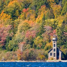
Big Island Lake Wilderness, Wilderness area in Hiawatha National Forest, Michigan.

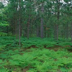
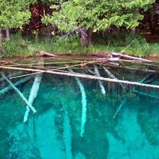
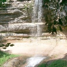
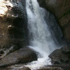
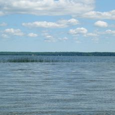
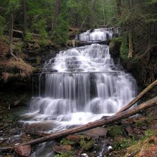
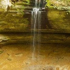
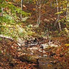
Big Island Lake Wilderness is a protected forest area within Hiawatha National Forest that contains a network of interconnected lakes surrounded by dense woods. The land features varied terrain with multiple water bodies suitable for paddling and exploration by visitors prepared for remote conditions.

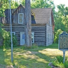
The area experienced heavy logging between 1890 and 1930, leaving behind old railroad grades and abandoned camp sites scattered throughout the forest. Official protection status came in 1987, securing the land against development and preserving its wild character for the future.

The wilderness designation in 1987 established protected grounds for outdoor recreation while maintaining the natural environment without modern infrastructure.

Visitors travel between lakes using marked portage trails, which support paddling and remote camping throughout the area. Proper preparation with navigation skills and suitable gear is essential because modern facilities and services do not exist here.

The lakes sit within a special fisheries district created because of their unique water conditions, which means different fishing rules apply here. This unusual designation makes them distinct from typical wilderness lakes and adds an interesting dimension to any fishing visit.

The community of curious travelers

AroundUs brings together thousands of curated places, local tips, and hidden gems, enriched daily by 60,000 contributors worldwide.

Start exploring
Location
GPS coordinates
46.22030,-86.50970
Latest update
December 14, 2025 13:07
Around this place
Grand Island National Recreation Area
United States of America

Grand Island National Recreation Area

34 km
Seney National Wildlife Refuge
United States of America

Seney National Wildlife Refuge

31.7 km
Palms Book State Park
United States of America

Palms Book State Park

25.7 km
Grand Island East Channel Light
United States of America

Grand Island East Channel Light

27.7 km
Munising Falls
United States of America

Munising Falls

24.1 km
Miners Falls
United States of America

Miners Falls

28.4 km
Indian Lake State Park
United States of America

Indian Lake State Park

33.7 km
Wagner Falls Scenic Site
United States of America

Wagner Falls Scenic Site

21.4 km
Wagner Falls
United States of America

Wagner Falls

21.5 km
Manistique East Breakwater Light
United States of America

Manistique East Breakwater Light

36.7 km
Scott Falls
United States of America

Scott Falls

32.3 km
Bridalveil Falls
United States of America

Bridalveil Falls

32.1 km
Tannery Falls
United States of America

Tannery Falls

23.5 km
Onota, Au Train Township, Michigan
United States of America

Onota, Au Train Township, Michigan

28.8 km
Munising Front Range Light
United States of America

Munising Front Range Light

24.6 km
Grand Island Harbor Rear Range Light
United States of America

Grand Island Harbor Rear Range Light

27.9 km
Munising Rear Range Light
United States of America

Munising Rear Range Light

24.5 km
Alger Falls
United States of America

Alger Falls

22 km
Manistique Pumping Station
United States of America

Manistique Pumping Station

34.9 km
Memorial Falls
United States of America

Memorial Falls

23.8 km
Old M-94–Au Train River Bridge
United States of America

Old M-94–Au Train River Bridge

33.9 km
Schoolcraft Furnace Site
United States of America

Schoolcraft Furnace Site

24.3 km
Paulson House
United States of America

Paulson House

33.4 km
Lobb House
United States of America

Lobb House

24 km
Sand Point Beach
United States of America

Sand Point Beach

26.5 km
Grand Island Harbor Front Range Light
United States of America

Grand Island Harbor Front Range Light

28.1 km
Chapel Beach
United States of America

Chapel Beach

36.8 km
Munising School Public Library
United States of America

Munising School Public Library

24.9 km
Show the full map
Reviews
Share your experience

No review yet

Discussions
Start a discussion...

No discussion yet

« Big Island Lake Wilderness - Wilderness area in Hiawatha National Forest, Michigan » is provided by Around Us (aroundus.com). Images and texts are derived from Wikimedia project under a Creative Commons license. You are allowed to copy, distribute, and modify copies of this page, under the conditions set by the license, as long as this note is clearly visible.

Discover hidden gems everywhere you go!

From secret cafés to breathtaking viewpoints, skip the crowded tourist spots and find places that match your style. Our app makes it easy with voice search, smart filtering, route optimization, and insider tips from travelers worldwide. Download now for the complete mobile experience.

Around Us App Screenshot

A unique approach to discovering new places

Le Figaro

All the places worth exploring

France Info

A tailor-made excursion in just a few clicks

20 Minutes

Around Us
Travel Guide & Maps
Download

Send to your phone

QR Code
1

Open the camera app on your mobile.

2

Point at the QR code with your camera. A notification will appear.

3

Tap the notification to open the link.