Enable Location

We need your location to show you interesting places around you

Discover nearby places

Find interesting locations and hidden gems around you

Precise directions

Get accurate directions and distances to places

Your location is never shared with other users. It's only used when you tap the location button.

Boulevards in Omaha, Nebraska

Log in to your account

Start exploring — it's free

Trusted by 62,443 travelers worldwide

Continue with Google
Continue with Apple
or

We will send you a code to connect

By continuing, you accept our Terms and Conditions and our Privacy Policy

Check your inbox

We've sent a pincode in your inbox. Please enter the code below.

Boulevards in Omaha, Nebraska, Historic boulevard network in Omaha, United States.

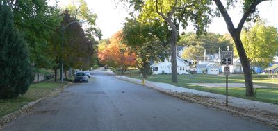
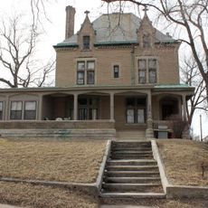
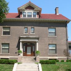
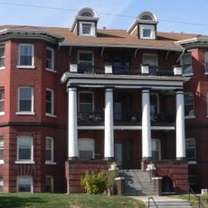
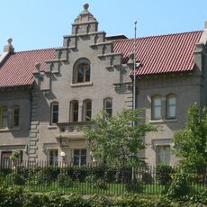
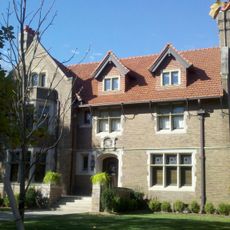
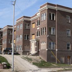
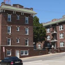
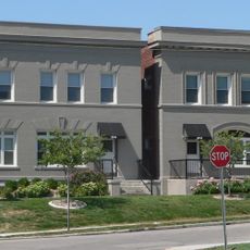
The Boulevards in Omaha form an interconnected network of wide, tree-lined avenues stretching over 100 miles through residential and commercial neighborhoods. The system features multiple main routes that link different districts and help shape how the city is laid out.

Landscape architect Horace Cleveland designed the system in 1889, with Florence Boulevard completed as the first segment in 1892. Expansion during the 1930s through federal programs added roughly 30 miles to the network.

These avenues link different neighborhoods and parks, creating shared spaces where residents gather for celebrations, festivals, and outdoor activities. The network remains central to how communities interact and move through the city.

The avenues are easily accessible by foot or bicycle, with many sections modernized for safe passage. Spring through fall offers the best conditions for exploring, when foliage provides shade and community activities take place.

A notable Depression-era addition is the Saddle Creek Underpass, a traffic solution built during the 1930s with federal funds. This underground passage shows how the city used innovative engineering to improve the growing transportation network.

The community of curious travelers

AroundUs brings together thousands of curated places, local tips, and hidden gems, enriched daily by 60,000 contributors worldwide.

Start exploring
Location
GPS coordinates
41.24222,-95.95806
Latest update
December 13, 2025 12:41
Around this place
Gerald R. Ford Birthsite and Gardens
United States of America

Gerald R. Ford Birthsite and Gardens

379 m
Midtown Crossing at Turner Park
United States of America

Midtown Crossing at Turner Park

1.9 km
Mutual of Omaha Building
United States of America

Mutual of Omaha Building

1.9 km
Omaha Quartermaster Depot Historic District
United States of America

Omaha Quartermaster Depot Historic District

1.3 km
Georgia Row House
United States of America

Georgia Row House

855 m
Field Club
United States of America

Field Club

597 m
Immaculate Conception Church and School
United States of America

Immaculate Conception Church and School

1.3 km
Wattles House
United States of America

Wattles House

1.9 km
St. Joseph Parish Complex
United States of America

St. Joseph Parish Complex

1.7 km
Vinton Street Commercial Historic District
United States of America

Vinton Street Commercial Historic District

1.8 km
Drake Court Historic District
United States of America

Drake Court Historic District

1.7 km
Charles D. McLaughlin House
United States of America

Charles D. McLaughlin House

1.7 km
Mason School
United States of America

Mason School

1.2 km
Normandie Apartments
United States of America

Normandie Apartments

735 m
Mary Rogers Kimball House
United States of America

Mary Rogers Kimball House

1.7 km
Howard Street Apartment District
United States of America

Howard Street Apartment District

1.8 km
Brandeis–Millard House
United States of America

Brandeis–Millard House

1.8 km
Leone, Florentine and Carpathia Apartment Buildings
United States of America

Leone, Florentine and Carpathia Apartment Buildings

1.3 km
Park School
United States of America

Park School

501 m
Ansonia Apartments
United States of America

Ansonia Apartments

1.7 km
West Farnam Apartments
United States of America

West Farnam Apartments

1.8 km
Havens-Page House
United States of America

Havens-Page House

1.6 km
Selby Apartments
United States of America

Selby Apartments

1.3 km
United States of America

Berkeley Apartments

1.9 km
Selma Terrace
United States of America

Selma Terrace

1.2 km
Undine Apartments
United States of America

Undine Apartments

1.6 km
Moyer Row Houses
United States of America

Moyer Row Houses

1.6 km
Blackstone Plaza
United States of America

Blackstone Plaza

1.8 km
Show the full map
« Boulevards in Omaha, Nebraska - Historic boulevard network in Omaha, United States » is provided by Around Us (aroundus.com). Images and texts are derived from Wikimedia project under a Creative Commons license. You are allowed to copy, distribute, and modify copies of this page, under the conditions set by the license, as long as this note is clearly visible.

Discover hidden gems everywhere you go!

From secret cafés to breathtaking viewpoints, skip the crowded tourist spots and find places that match your style. Our app makes it easy with voice search, smart filtering, route optimization, and insider tips from travelers worldwide. Download now for the complete mobile experience.

Around Us App Screenshot

A unique approach to discovering new places

Le Figaro

All the places worth exploring

France Info

A tailor-made excursion in just a few clicks

20 Minutes

Around Us
Travel Guide & Maps
Download

Send to your phone

QR Code
1

Open the camera app on your mobile.

2

Point at the QR code with your camera. A notification will appear.

3

Tap the notification to open the link.