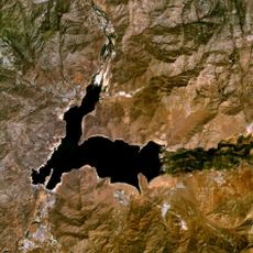
Chimney Peak Wilderness, Nature reserve in Tulare County, California, US.
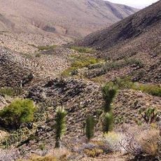
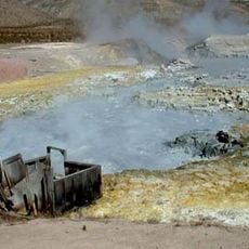
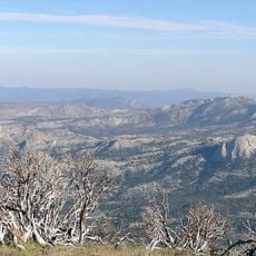
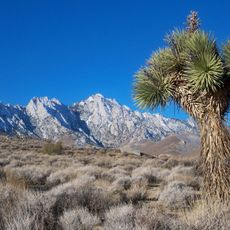
Chimney Peak Wilderness is a nature reserve in Tulare County, California, spanning mountainous terrain where elevations rise from desert valleys to more than 7,800 feet. The landscape transitions through different plant communities, creating zones with distinct vegetation patterns across the terrain.
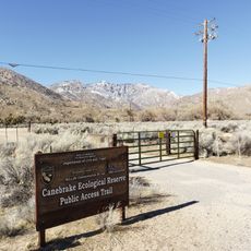
The wilderness area was established in 1994 through the California Desert Protection Act under the management of the Bureau of Land Management. This designation recognized the ecological importance of the terrain and its role in preserving fragile desert and mountain ecosystems.
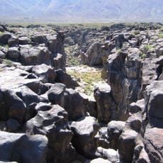
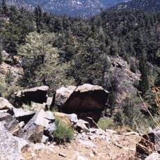
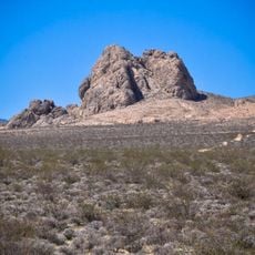
The name comes from the distinctive rock formations that rise like chimneys across the landscape. Visitors walking through today can see how this striking feature shapes how locals understand and describe the terrain.
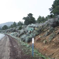
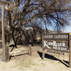
The area is accessible only on foot, with multiple hiking routes including sections of the Pacific Crest Trail suitable for different experience levels. Visitors should prepare for changing weather conditions, especially at higher elevations where conditions can shift quickly.
The area takes its name from the Sacatar Trail, a historic route used by soldiers and ranchers traveling to Owens Valley. Parts of this passage remain visible today and tell the story of human movement through what is now protected wilderness.
The community of curious travelers
AroundUs brings together thousands of curated places, local tips, and hidden gems, enriched daily by 60,000 contributors worldwide.