Cherrytree Township

Log in to your account

AroundUs is a community-driven map of interesting places, built by curious explorers like you. It grows with every review, story, and photo you share.
Connect to save your favorite spots, contribute locations, and create personalized routes.
By continuing, you accept our Terms and Conditions and our Privacy Policy
Add to collection
Map
Suggest a change
Share

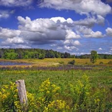
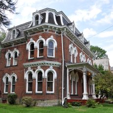
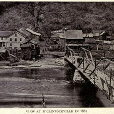
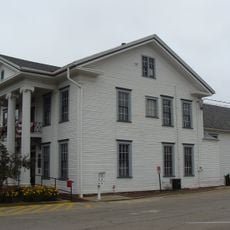
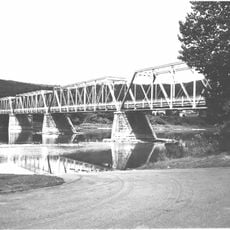
Cherrytree Township, township in Pennsylvania

GPS coordinates: 41.57159,-79.70507

Latest update: March 11, 2025 23:00

Around this place
Show the full map
Drake Well
United States of America

Drake Well

5.9 km
Drake Well Museum
United States of America

Drake Well Museum

5.9 km
Oil Creek State Park
United States of America

Oil Creek State Park

6.6 km
Fort Machault
United States of America

Fort Machault

22.8 km
Indian God Rock
United States of America

Indian God Rock

28.7 km
John Brown Tannery Site
United States of America

John Brown Tannery Site

26.2 km
Fort Venango
United States of America

Fort Venango

22.5 km
Erie National Wildlife Refuge
United States of America

Erie National Wildlife Refuge

22.4 km
Hickory Creek Wilderness
United States of America

Hickory Creek Wilderness

36.3 km
Samuel F. Dale House
United States of America

Samuel F. Dale House

22.1 km
McClintocksville, Pennsylvania
United States of America

McClintocksville, Pennsylvania

9.7 km
Pithole Stone Arch Bridge
United States of America

Pithole Stone Arch Bridge

13.1 km
Titusville City Hall
United States of America

Titusville City Hall

6.7 km
West Hickory Bridge
United States of America

West Hickory Bridge

24.9 km
Allegheny Baptist Church
United States of America

Allegheny Baptist Church

10.7 km
Jersey Bridge
United States of America

Jersey Bridge

6.3 km
Tidioute Bridge
United States of America

Tidioute Bridge

27.2 km
Bridge in Oil Creek Township
United States of America

Bridge in Oil Creek Township

6.4 km
Connely-Holeman House
United States of America

Connely-Holeman House

9.4 km
Titusville Historic District
United States of America

Titusville Historic District

7 km
Franklin Historic District
United States of America

Franklin Historic District

22.5 km
Bridge in French Creek Township
United States of America

Bridge in French Creek Township

28.4 km
Bridge in Rockdale Township
United States of America

Bridge in Rockdale Township

35.3 km
Oil City Pennsylvania Railroad Bridge
United States of America

Oil City Pennsylvania Railroad Bridge

16.6 km
Barrow Civic Theater
United States of America

Barrow Civic Theater

22 km
Oil City Downtown Commercial Historic District
United States of America

Oil City Downtown Commercial Historic District

15.1 km
Oil City North Side Historic District
United States of America

Oil City North Side Historic District

15.2 km
Oil City South Side Historic District
United States of America

Oil City South Side Historic District

16.7 km
Show the full map

Reviews

Visited this place? Tap the stars to rate it and share your experience / photos with the community! Try now! You can cancel it anytime.

« Cherrytree Township - township in Pennsylvania » is provided by Around Us (aroundus.com). Images and texts are derived from Wikimedia project under a Creative Commons license. You are allowed to copy, distribute, and modify copies of this page, under the conditions set by the license, as long as this note is clearly visible.

Discover hidden gems everywhere you go!

From secret cafés to breathtaking viewpoints, skip the crowded tourist spots and find places that match your style. Our app makes it easy with voice search, smart filtering, route optimization, and insider tips from travelers worldwide. Download now for the complete mobile experience.

Around Us App Screenshot

A unique approach to discovering new places

Le Figaro

All the places worth exploring

France Info

A tailor-made excursion in just a few clicks

20 Minutes