Chest opened
+${chestReward.xp} XP
Explorer
NOUVEAU ×${chestReward.collectible.quantity}
tapez pour fermer
Chest locked

Open chests in the app

Around Us is built for your phone — chests unlock when you walk, explore and capture nearby places.

Enable Location

We need your location to show you interesting places around you

Discover nearby places

Find interesting locations and hidden gems around you

Precise directions

Get accurate directions and distances to places

Your location is never shared with other users. It's only used when you tap the location button.

Log in to your account

Start exploring — it's free

Trusted by 72,919 travelers worldwide

Continue with Google
Continue with Apple
or

We will send you a code to connect

By continuing, you accept our Terms and Conditions and our Privacy Policy

Check your inbox

We've sent a pincode in your inbox. Please enter the code below.

Donation Tract
Discussion Reviews Photo
1.8k Popularity

Donation Tract, Land parcel in Washington County and Morgan County, United States.

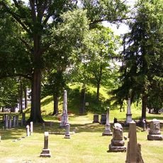
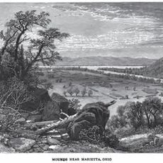
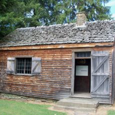
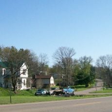
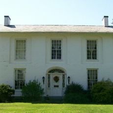
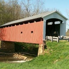
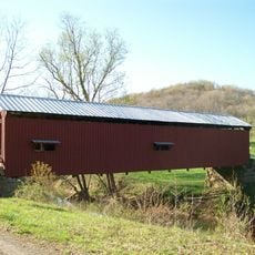
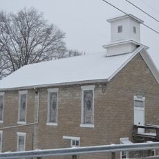
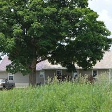
The Donation Tract is a land parcel spanning Washington County and Morgan County in Ohio, characterized by rolling hills and forested terrain. The land encompasses agricultural plots and natural areas with varied elevation and ground conditions.

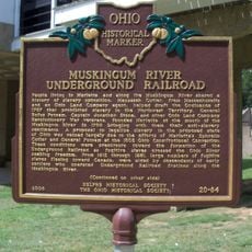
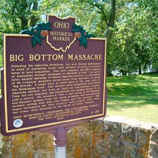
The tract originated in the 19th century from federal land grant programs designed to encourage settlement and farming in the region. These distribution policies shaped property ownership patterns and local development.

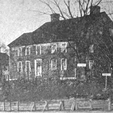
The property represents early American land distribution practices, with local families maintaining agricultural traditions through multiple generations.

The property is reachable via county roads connecting to major highways for general access. Conditions vary depending on the season and specific location within the two-county area.

The parcel straddles two counties, creating a geographical division that influences how the land is administered and developed. This cross-county position affects local governance and management approaches.

The community of curious travelers

AroundUs brings together thousands of curated places, local tips, and hidden gems, enriched daily by 60,000 contributors worldwide.

Start exploring
Location
GPS coordinates
39.56530,-81.57780
Latest update
December 14, 2025 11:41
Around this place
Mound Cemetery
United States of America

Mound Cemetery

19.5 km
Marietta Earthworks
United States of America

Marietta Earthworks

19.5 km
Rufus Putnam House
United States of America

Rufus Putnam House

18.9 km
Campus Martius Museum
United States of America

Campus Martius Museum

18.9 km
Ohio Company Land Office
United States of America

Ohio Company Land Office

18.9 km
The Anchorage
United States of America

The Anchorage

19.5 km
Start Westward Memorial
United States of America

Start Westward Memorial

19.6 km
Watertown, Ohio
United States of America

Watertown, Ohio

12 km
Colonel Joseph Barker House
United States of America

Colonel Joseph Barker House

11.7 km
The Castle
United States of America

The Castle

19.3 km
Marietta Historic District
United States of America

Marietta Historic District

19.5 km
Harra Covered Bridge
United States of America

Harra Covered Bridge

10.5 km
Washington County Courthouse
United States of America

Washington County Courthouse

19.5 km
Simeon Deming House
United States of America

Simeon Deming House

8.9 km
Jonathan Sprague House
United States of America

Jonathan Sprague House

917 m
Bell Covered Bridge
United States of America

Bell Covered Bridge

17.2 km
Shinn Covered Bridge
United States of America

Shinn Covered Bridge

19.4 km
Warner Community Church
United States of America

Warner Community Church

14 km
The Castle
United States of America

The Castle

19.3 km
Ohio River Museum
United States of America

Ohio River Museum

18.9 km
Marietta Branch Library
United States of America

Marietta Branch Library

18.8 km
Mason House
United States of America

Mason House

614 m
Conus Mound
United States of America

Conus Mound

19.5 km
Peoples Mortuary Museum
United States of America

Peoples Mortuary Museum

19.4 km
The Towboat W. P. Snyder Jr.
United States of America

The Towboat W. P. Snyder Jr.

18.9 km
C. William O'Neill (1916-1978)
United States of America

C. William O'Neill (1916-1978)

19.5 km
Muskingum River Underground Railroad
United States of America

Muskingum River Underground Railroad

18.9 km
Big Bottom Massacre
United States of America

Big Bottom Massacre

17.2 km
Show the full map
Reviews
Share your experience

No review yet

Discussions
Start a discussion...

No discussion yet

« Donation Tract - Land parcel in Washington County and Morgan County, United States » is provided by Around Us (aroundus.com). Images and texts are derived from Wikimedia project under a Creative Commons license. You are allowed to copy, distribute, and modify copies of this page, under the conditions set by the license, as long as this note is clearly visible.

Discover hidden gems everywhere you go!

From secret cafés to breathtaking viewpoints, skip the crowded tourist spots and find places that match your style. Our app makes it easy with voice search, smart filtering, route optimization, and insider tips from travelers worldwide. Download now for the complete mobile experience.

Around Us App Screenshot

A unique approach to discovering new places

Le Figaro

All the places worth exploring

France Info

A tailor-made excursion in just a few clicks

20 Minutes

Around Us
Travel Guide & Maps
Download

Send to your phone

QR Code
1

Open the camera app on your mobile.

2

Point at the QR code with your camera. A notification will appear.

3

Tap the notification to open the link.