Delta Amacuro, Federal state in northeastern Venezuela.
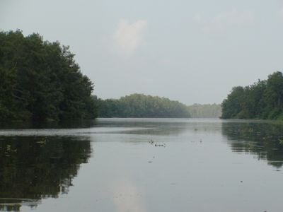
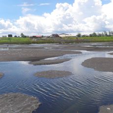
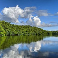
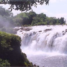
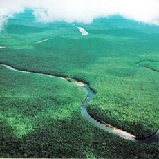
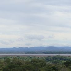
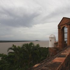
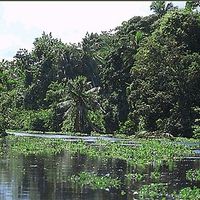
Delta Amacuro is a state in northeastern Venezuela that covers roughly 40,200 square kilometers (around 15,500 square miles) of wetland, where the Orinoco splits into numerous branches. The landscape consists of a dense network of waterways, islands, and mangrove forests stretching to the Atlantic coast.
The area was created as a federal territory in 1884 to better manage the remote eastern lands of Venezuela. It gained full statehood in 1991, acquiring greater political autonomy.
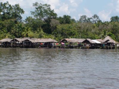
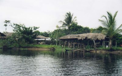
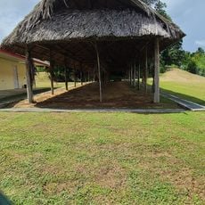
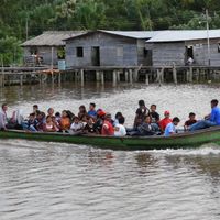
The Warao live traditionally in stilt houses that rise above the river channels, and they move daily between settlements using small canoes. Their way of life is closely tied to tides and water levels, which shapes their architecture and daily routines.
Most travel within the area happens by boat, as roads are scarce and many communities can only be reached by water. Tucupita, the capital, connects to the rest of Venezuela through an overland highway that may become difficult during rain.
The Orinoco splits here into more than two dozen branches, forming a labyrinth of islands and channels before the water reaches the ocean. The mix of fresh and salt water creates transition habitats where plants and animals from both worlds coexist.
The community of curious travelers
AroundUs brings together thousands of curated places, local tips, and hidden gems, enriched daily by 60,000 contributors worldwide.