Guárico, State division in north-central Venezuela
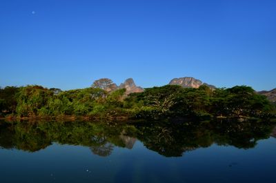
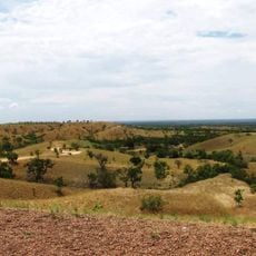
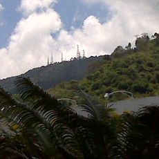
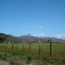
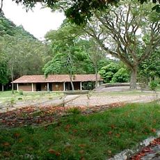
Guárico is a state in north-central Venezuela that stretches from the foothills down to the wide plains of the lowlands. The capital town San Juan de los Morros sits in the north near the mountains, while the rest of the territory opens into the flat savannas that lead toward the Orinoco.
The administrative unit came into being in 1848 when the province of Caracas was split into three parts. Sixteen years later the area officially received state status within the new federal structure of Venezuela.
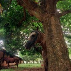
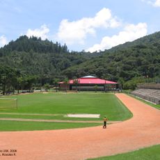
The name comes from the river that crosses the plains and carries an indigenous word in its roots. Ranch life shapes daily routines across open grasslands, where cowboys still ride horses and herd cattle following old ranching customs.
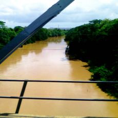
Travelers find the best orientation in the capital, from where roads lead out into the surrounding plains. During the rainy season between May and November some routes in the flat regions can become muddy.
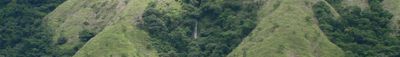
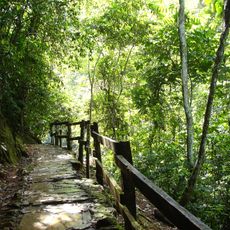
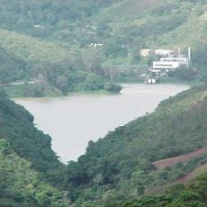
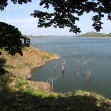
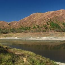
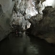
Near the town of Calabozo you find springs with warm water bubbling up from the ground and forming small natural pools. Two protected areas preserve wilderness between plain and highland, with peaks rising over 1900 m (more than 6200 ft).
Location: Venezuela
Inception: 1900
Capital city: Español
Elevation above the sea: 206 m
Reference: GU
Shares border with: Apure, Barinas State, Cojedes, Carabobo, Aragua, Miranda, Anzoátegui, Bolívar
Website: http://guarico.com.ve
GPS coordinates: 8.70000,-66.60000
Latest update: December 13, 2025 15:50
Guatopo National Park
154.5 km
Aguaro-Guariquito National Park
47.5 km
Embalse La Mariposa
193 km
Ing. Generoso Campilongo Reservoir
92.3 km
Laguna de Tacarigua National Park
192.9 kmPuente Mercosur
124.3 km
Camatagua Reservoir
132.5 kmCueva Alfredo Jahn Natural Monument
201 kmCaura National Park
223.2 km
Cerro El Volcán
193.1 km
John the Baptist Monument
158.7 km
Hato Piñero
165.1 km
Depresión de Unare
202.8 km
Santuario de la Virgen de Betania
157.2 kmEsteros de Camaguán
127.2 km
Church of St. Constantine and Helena
192.8 km
Terra Bianca Reservoir
168.2 km
Morros de Macaira Natural Monument
129.9 km
Museo Alejandro Otero
196.3 km
Estadio de Fútbol de la Universidad Simón Bolívar
193.2 km
All Saints Cathedral
94.7 km
Parque Vinicio Adames
191.5 km
Marian apparitions of Betania
157.2 km
Cathedral of Our Lady of Mount Carmel
131.8 kmSistema de riego del río Guárico
104.9 km
St. Philip Neri Cathedral, Los Teques
189.9 kmGuarenas Cathedral
197.1 km
Cuevas del Indio Park
196 kmVisited this place? Tap the stars to rate it and share your experience / photos with the community! Try now! You can cancel it anytime.
Discover hidden gems everywhere you go!
From secret cafés to breathtaking viewpoints, skip the crowded tourist spots and find places that match your style. Our app makes it easy with voice search, smart filtering, route optimization, and insider tips from travelers worldwide. Download now for the complete mobile experience.
A unique approach to discovering new places❞
— Le Figaro
All the places worth exploring❞
— France Info
A tailor-made excursion in just a few clicks❞
— 20 Minutes