
Municipio Zamora, municipality in Aragua state, Venezuela
Location: Aragua
Capital city: Villa de Cura
Part of: Aragua
GPS coordinates: 10.05135,-67.48627
Latest update: April 11, 2025 15:56
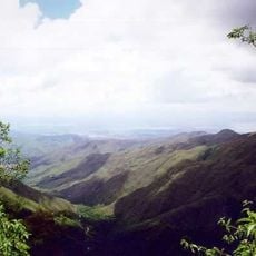
Henri Pittier National Park
39.4 km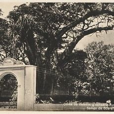
Samán de Güere
19.7 km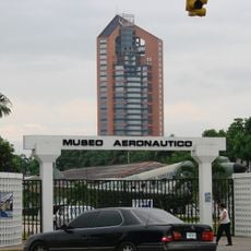
Aeronautics Museum Cnel. "Luis Hernán Paredes"
25.4 km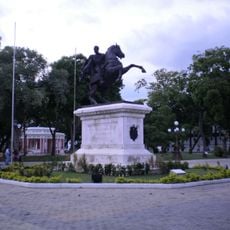
Plaza Bolívar de Maracay
24.9 km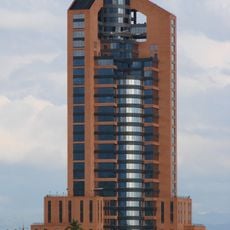
Sindoni Tower
24.8 km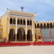
Maestranza César Girón
25.7 km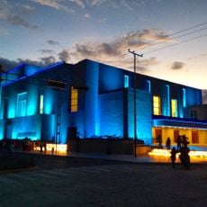
Teatro de la Ópera de Maracay
25 km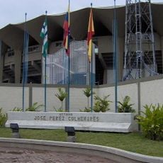
Estadio José Pérez Colmenares
27 km
Las Delicias Zoo
27.6 km
Pico Codazzi Natural Monument
43.8 km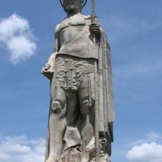
John the Baptist Monument
20.8 km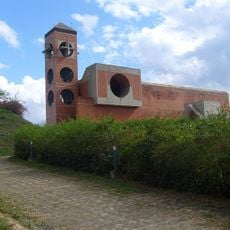
Güigüe Abbey
35.1 km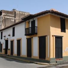
Casa Guipuzcoana
15.4 km
Cathedral of Our Lady of the Assumption in Maracay
22.5 km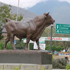
Toro de Las Delicias
27.6 km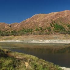
Terra Bianca Reservoir (San Juan de los Morros)
11.1 km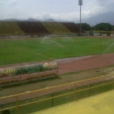
Estadio Olímpico Hermanos Ghersi Páez
26.9 km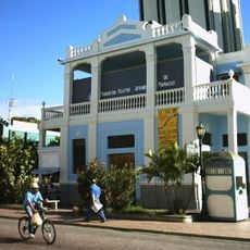
Teatro Ateneo
25.7 km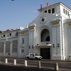
Antiguo Hotel Jardín
25 km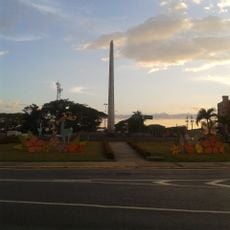
Obelisco de la Redoma de San Jacinto
22.9 km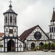
Iglesia de San Martín de Tours (Colonia Tovar)
45 km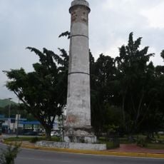
Torreón de El Limón
31.5 km
Coliseo El Limón
30.6 km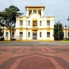
Ambulatorio Urbano Dr. Efraín Abad Armas
25.1 km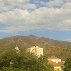
Picacho de Turmero
19.8 km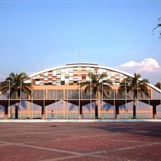
Polideportivo Las Delicias
26.2 km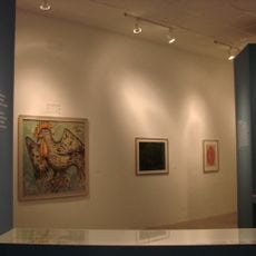
Museo de Arte Contemporáneo de Maracay Mario Abreu
25.8 km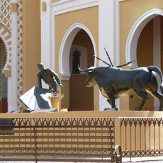
La Girondina
25.7 kmReviews
Visited this place? Tap the stars to rate it and share your experience / photos with the community! Try now! You can cancel it anytime.
Discover hidden gems everywhere you go!
From secret cafés to breathtaking viewpoints, skip the crowded tourist spots and find places that match your style. Our app makes it easy with voice search, smart filtering, route optimization, and insider tips from travelers worldwide. Download now for the complete mobile experience.

A unique approach to discovering new places❞
— Le Figaro
All the places worth exploring❞
— France Info
A tailor-made excursion in just a few clicks❞
— 20 Minutes