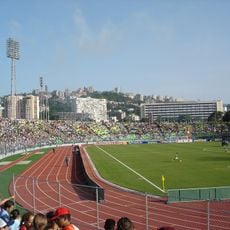
Aragua, Administrative division in northern Venezuela
Aragua is an administrative division in northern Venezuela that stretches from the Caribbean coast to the forested mountain ranges of the Cordillera de la Costa. This region encompasses valleys with agricultural land, coastal strips with fishing villages, and high elevations with cloud forests, where the geographic zones show different climate conditions.
The province separated from Caracas in 1848 and received its own administration before adopting state status in 1864. After a temporary merger with Guárico, it returned to independent organization in 1899 and has maintained its administrative structure since then.
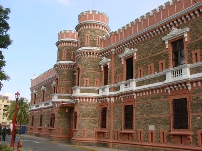
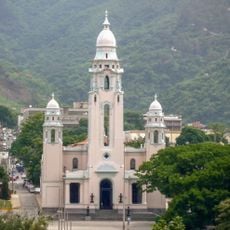
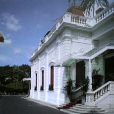
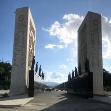
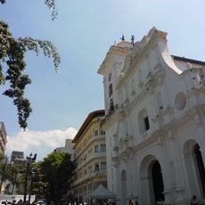
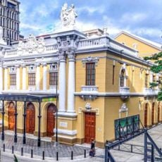
The name honors independence hero José Félix Ribas, whose colonial estate stands in the valley of La Victoria and welcomes visitors today. Communities maintain lively dances and religious celebrations where drumming groups perform Afro-Venezuelan rhythms and pilgrims travel to shrine sites in mountain villages.
Travelers move best between coastal towns and mountain areas with their own vehicle or local buses that run regularly between main towns. Roads pass through different elevations where weather conditions can change quickly, and appropriate clothing for both coastal and mountain visits is recommended.
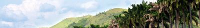
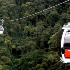
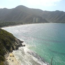
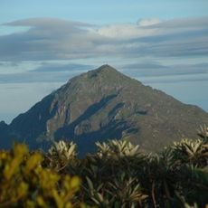
Henri Pittier, the country's first national park, protects more than 500 bird species across an area that rises from sea level to over 2400 meters (7900 feet). Visitors often encounter howler monkeys and capuchin monkeys along hiking trails that wind through dense vegetation to waterfalls and secluded beaches.
The community of curious travelers
AroundUs brings together thousands of curated places, local tips, and hidden gems, enriched daily by 60,000 contributors worldwide.