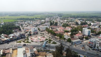
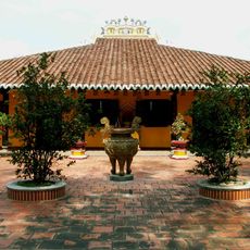
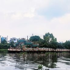
Trảng Bàng, town of Tay Ninh province
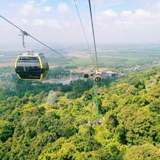
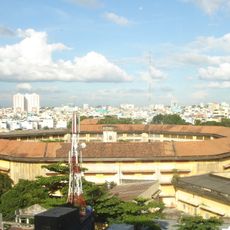
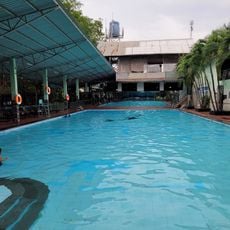
Trảng Bàng is a town in the southeastern part of Tây Ninh Province that blends traditional craftwork with new industries. The area has a flat landscape with farms and fields, and recently opened an industrial zone to attract foreign businesses.
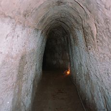
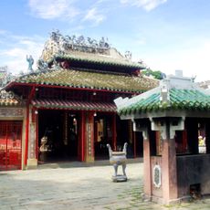
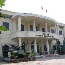
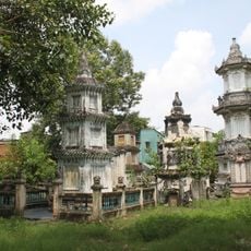
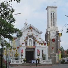
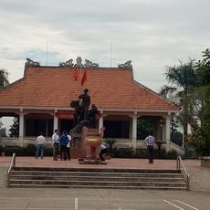
The town developed slowly and steadily over many decades, with many older buildings and homes still standing today. These structures remind visitors of simpler times in its past.
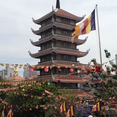
The town is known for sharing meals with neighbors and holding community festivals where people wear traditional clothes and perform old songs and dances. These gatherings help keep local customs alive and strengthen bonds between residents.
The best way to experience the place is to walk around and talk with local people who are happy to share their stories. Visiting markets, trying local dishes, and seeing the countryside provide a clear picture of daily life here.
The town is known worldwide for a famous photograph from the war showing a young girl running away after a napalm attack. The image was taken during a very difficult time and became a symbol of conflict for people around the world.
The community of curious travelers
AroundUs brings together thousands of curated places, local tips, and hidden gems, enriched daily by 60,000 contributors worldwide.