Enable Location

We need your location to show you interesting places around you

Discover nearby places

Find interesting locations and hidden gems around you

Precise directions

Get accurate directions and distances to places

Your location is never shared with other users. It's only used when you tap the location button.

Long An

Log in to your account

Start exploring — it's free

Trusted by 62,373 travelers worldwide

Continue with Google
Continue with Apple
or

We will send you a code to connect

By continuing, you accept our Terms and Conditions and our Privacy Policy

Check your inbox

We've sent a pincode in your inbox. Please enter the code below.

Long An

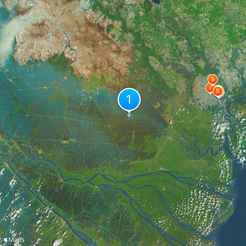
Long An, Agricultural province in southern Vietnam

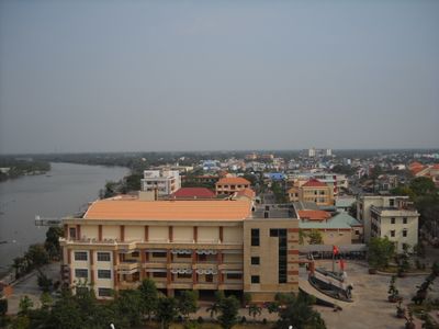
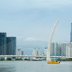
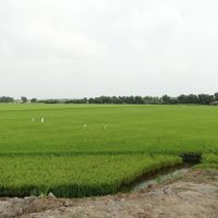
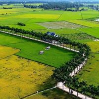
Long An is a province in southern Vietnam that lies between Ho Chi Minh City and the Mekong Delta and is crossed by a dense network of rivers and canals. The landscape alternates between rice paddies, small towns and river mouths that have shaped the life and economy of the region for centuries.

The area belonged to the ancient Funan kingdom from the 1st to the 7th century, whose traces can be found at archaeological sites such as Go Xoai and Go Don. The excavations reveal remains of the Oc Eo culture, which was once widespread across large parts of the Mekong Delta and maintained trade routes as far as India and China.

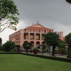
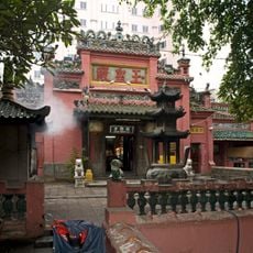
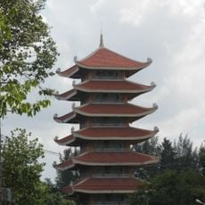
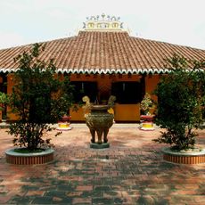
The temples and pagodas across the province show building influences from Kinh, Khmer and Hoa communities that still shape religious life today. Visitors often notice the different building styles and decorations that exist side by side in the same towns and speak of a shared history.

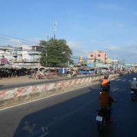
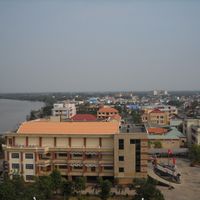
The province is best explored by car or motorbike, as the roads between towns are mostly paved and easy to navigate. Those arriving by bus will find connections in Tan An, the capital, to the surrounding towns and to the main sights of the region.

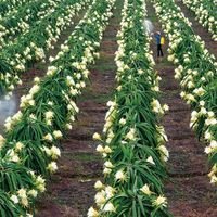
The two rivers Vam Co Dong and Vam Co Tay form a natural irrigation system that enables the cultivation of Cho Dao rice, a regional variety with long grains and a firm bite. Local markets often sell this rice unpackaged in large baskets, allowing visitors to see and smell the grains directly.

The community of curious travelers

AroundUs brings together thousands of curated places, local tips, and hidden gems, enriched daily by 60,000 contributors worldwide.

Start exploring
Location
Capital city
Tân An
Elevation above the sea
4 m
Shares border with
Prey Veng Province, Tiền Giang, Đồng Tháp, Ho Chi Minh City, Tây Ninh, Svay Rieng Province
GPS coordinates
10.66667,106.16667
Latest update
December 16, 2025 14:00
« Long An - Agricultural province in southern Vietnam » is provided by Around Us (aroundus.com). Images and texts are derived from Wikimedia project under a Creative Commons license. You are allowed to copy, distribute, and modify copies of this page, under the conditions set by the license, as long as this note is clearly visible.

Discover hidden gems everywhere you go!

From secret cafés to breathtaking viewpoints, skip the crowded tourist spots and find places that match your style. Our app makes it easy with voice search, smart filtering, route optimization, and insider tips from travelers worldwide. Download now for the complete mobile experience.

Around Us App Screenshot

A unique approach to discovering new places

Le Figaro

All the places worth exploring

France Info

A tailor-made excursion in just a few clicks

20 Minutes

Around Us
Travel Guide & Maps
Download

Send to your phone

QR Code
1

Open the camera app on your mobile.

2

Point at the QR code with your camera. A notification will appear.

3

Tap the notification to open the link.