Hà Tây, Former province in Red River Delta, Vietnam.
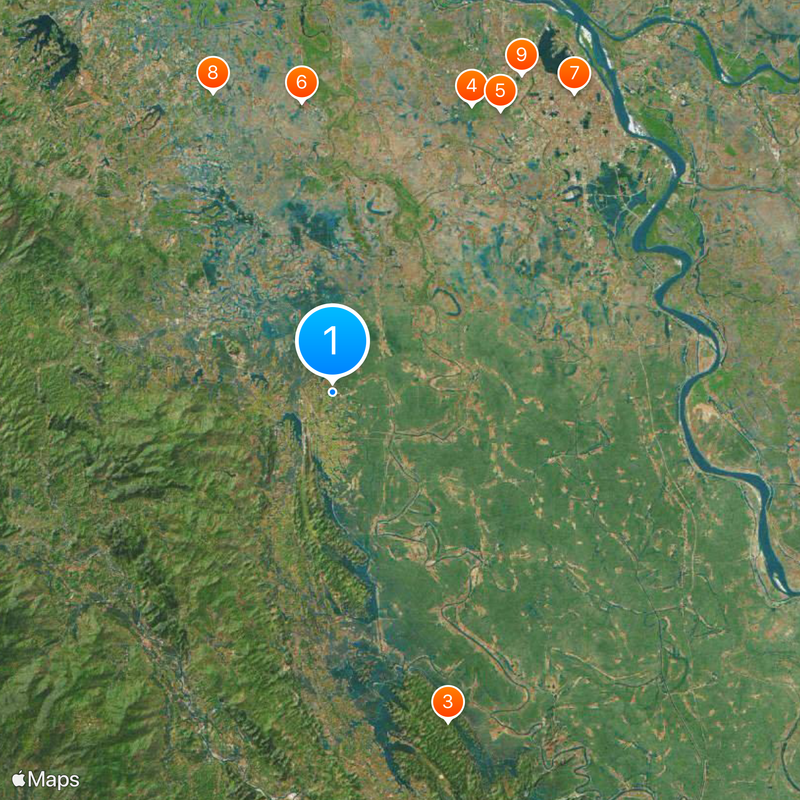
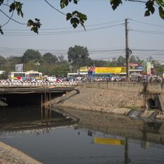
Hà Tây was a province in northern Vietnam that covered flat farmland, rolling hills, and mountain foothills toward Ba Vì. The region stretched west of the capital and formed a transition zone between the densely settled delta and the rugged backcountry.
The province came into being in 1967 and went through several territorial reforms, including a temporary merger with Hòa Bình between 1976 and 1991. In 2008 the entire territory became part of the expanded capital Hanoi.
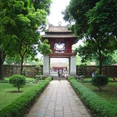
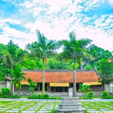
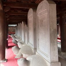
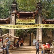
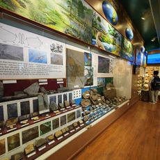
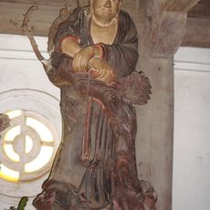
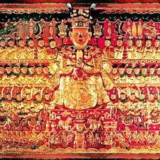
The province contained 2,388 documented cultural sites, including temples, pagodas, and religious monuments, with 12 locations receiving special classification from Vietnamese authorities.
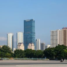
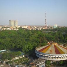
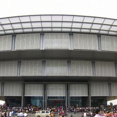
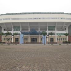
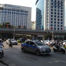
The former province consisted of two cities and twelve rural districts that now serve as western and southern suburbs of the capital. Visitors find both urban settlements and countryside villages with temples and pagodas in these areas.
The geographic position created three different climate zones: humid plains in the east, drier hills with continental winds in the west, and cooler mountain air near the Ba Vì peaks. This variety shaped farming and vegetation within a small area.
The community of curious travelers
AroundUs brings together thousands of curated places, local tips, and hidden gems, enriched daily by 92,789 contributors worldwide.