Northeast Vietnam, Administrative region in northern Vietnam
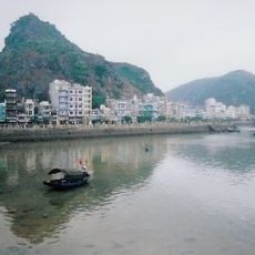
Northeast Vietnam is a mountainous region spanning several provinces including Quang Ninh, Lang Son, Cao Bang, Bac Kan, and Thai Nguyen with dense forests and river systems. The terrain features steep limestone formations, deep valleys, and waterways that shape the landscape and define how settlements are distributed.
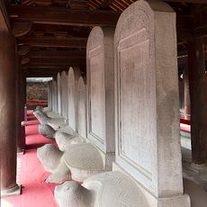
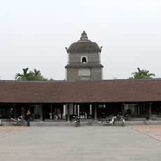
The region came under Chinese control for roughly one thousand years following the Han dynasty's conquest of the Nanyue kingdom. This extended period of foreign rule left traces in local language, building styles, and everyday customs that remain visible today.
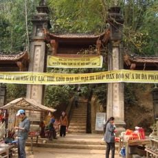
The Tay, Nung, Hmong, and Dao peoples call this area home, each maintaining their own customs, languages, and seasonal celebrations that shape daily life. Their traditional crafts and market gatherings form the backbone of community activity throughout the region.
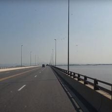
Major highways connect the region to Hanoi, while smaller roads reach into mountainous areas with traditional markets and villages. The driest and coolest months from October through April offer the most comfortable conditions for exploring on foot or by vehicle.
Ban Gioc Waterfall straddles the Vietnam-China border in Cao Bang Province and ranks among Asia's largest cross-border waterfalls. Many travelers overlook this cascade despite its accessibility and dramatic drop of water between the two countries.
The community of curious travelers
AroundUs brings together thousands of curated places, local tips, and hidden gems, enriched daily by 60,000 contributors worldwide.