
Ia Grai, rural district of Gia Lai, Vietnam
Location: Gia Lai
Elevation above the sea: 320 m
GPS coordinates: 13.98750,107.73750
Latest update: March 28, 2025 00:01
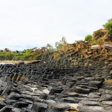
Ganh Da Dia
183.8 km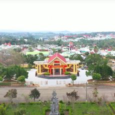
Măng Đen
90.6 km
Khone Phapheng Falls
189.2 km
Mằng Lăng Church
176.7 km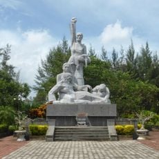
Sơn Mỹ Memorial
181.5 km
Laos–Vietnam border
80.5 km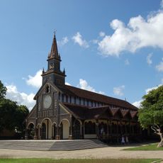
Kontum Cathedral
49.7 km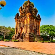
Thap Nhan, Tuy Hoa
197 km
Yok Don National Park
132 km
Thap Banh It
151.1 km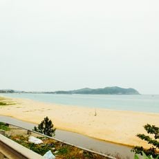
Sa Huỳnh
162.4 km
Thap Doi, Quy Nhon
160.8 km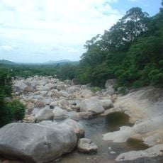
Chư Yang Sin National Park
145 km
Thap Duong Long
135.6 km
Pleiku Stadium
28.9 km
Bidoup Nui Ba National Park
191.7 km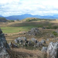
Virachey National Park
88.3 km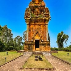
Thap Canh Tien
144.7 km
Sacred Heart Cathedral, Buôn Ma Thuột
149.3 km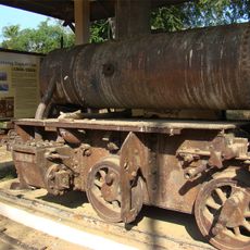
Don Det – Don Khon Railway
196.2 km
Cu Lao Cham Marine Park
157.5 km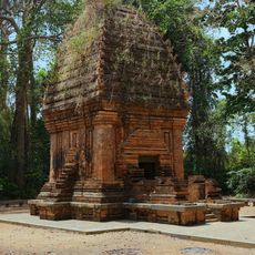
ヤンプロン塔
87.1 km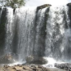
Bou Sra Waterfall
161.8 km
Quy Nhơn Stadium
162.9 km
Phnom Prich Wildlife Sanctuary
171.4 km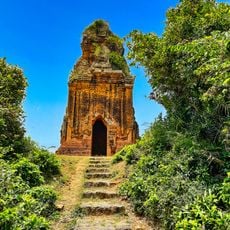
Thap Phu Loc
146.1 km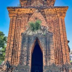
Thap Binh Lam
156.8 km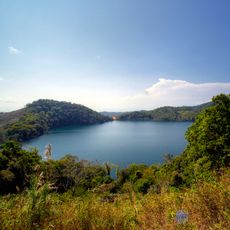
Nong Fa Lake
129.2 kmReviews
Visited this place? Tap the stars to rate it and share your experience / photos with the community! Try now! You can cancel it anytime.
Discover hidden gems everywhere you go!
From secret cafés to breathtaking viewpoints, skip the crowded tourist spots and find places that match your style. Our app makes it easy with voice search, smart filtering, route optimization, and insider tips from travelers worldwide. Download now for the complete mobile experience.

A unique approach to discovering new places❞
— Le Figaro
All the places worth exploring❞
— France Info
A tailor-made excursion in just a few clicks❞
— 20 Minutes