
Đông Giang, district in South Central Coast, Vietnam
Location: Quảng Nam
Elevation above the sea: 414 m
GPS coordinates: 15.92573,107.71502
Latest update: March 8, 2025 13:33

Golden Bridge
31.1 km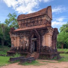
Mỹ Sơn
47.4 km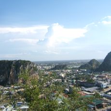
Marble Mountains
58.9 km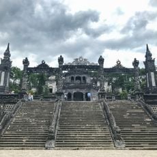
Tomb of Khai Dinh
54.3 km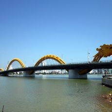
Dragon River Bridge
56.8 km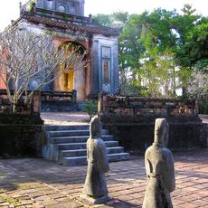
Tomb of Tự Đức
58.6 km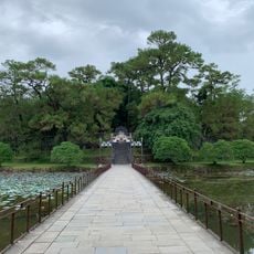
Tomb of Emperor Minh Mang
53.8 km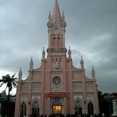
Da Nang Cathedral
56.6 km
Han River Bridge
57.1 km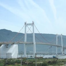
Thuận Phước Bridge
57.3 km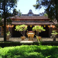
Từ hiếu pogoda
59.1 km
Museum of Cham Sculpture
56.2 km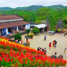
Mausoleum of Emperor Khai Dinh
54.3 km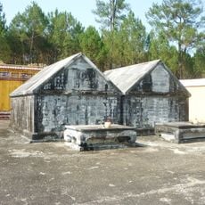
Tomb of Gia Long
50.2 km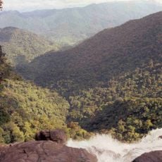
Bach Ma National Park
34.6 km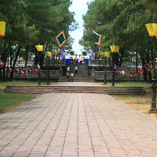
Esplanade of Sacrifice to the Heaven and Earth
58.7 km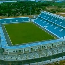
Hòa Xuân Stadium
55 km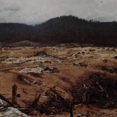
Firebase Bastogne
55.7 km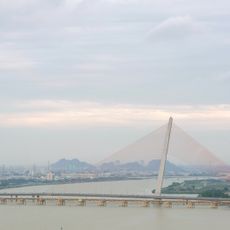
Tran Thi Ly Bridge
56.8 km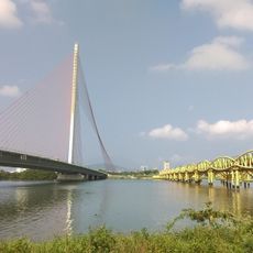
Nguyen Van Troi Bridge
56.7 km
Tomb of Emperor Thiệu Trị
56.9 km
Ba Na Hills Cable Car
36 km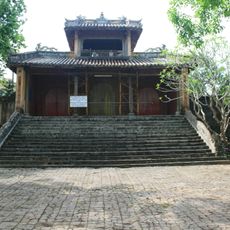
Tomb of Đồng Khánh
58.2 km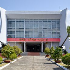
Zone 5 Military Museum
55.5 km
Chi Lang Stadium
56 km
Tiên Sơn Bridge
57.1 km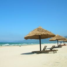
Lang Co Beach
53.3 km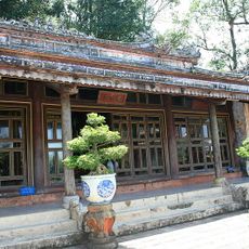
Hòn Chén Temple
57.4 kmReviews
Visited this place? Tap the stars to rate it and share your experience / photos with the community! Try now! You can cancel it anytime.
Discover hidden gems everywhere you go!
From secret cafés to breathtaking viewpoints, skip the crowded tourist spots and find places that match your style. Our app makes it easy with voice search, smart filtering, route optimization, and insider tips from travelers worldwide. Download now for the complete mobile experience.

A unique approach to discovering new places❞
— Le Figaro
All the places worth exploring❞
— France Info
A tailor-made excursion in just a few clicks❞
— 20 Minutes